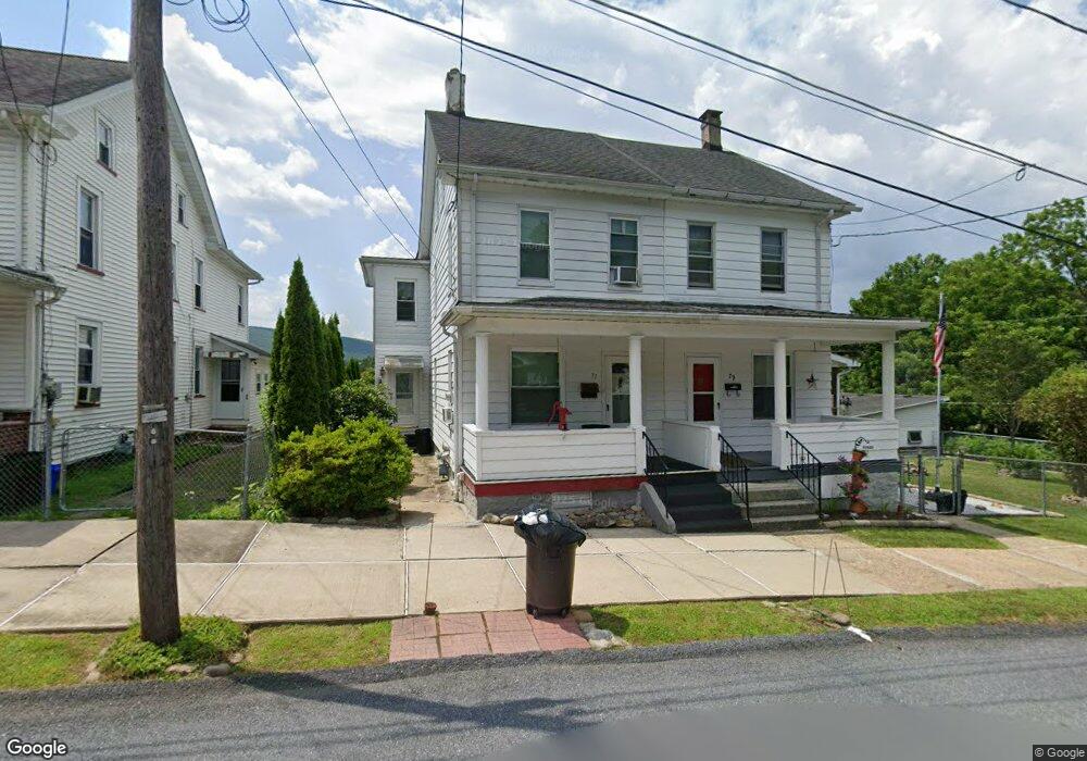
77 W 6th St Jim Thorpe, PA 18229
Estimated Value: $157,000 - $199,000
3
Beds
1
Bath
1,452
Sq Ft
$127/Sq Ft
Est. Value
About This Home
This home is located at 77 W 6th St, Jim Thorpe, PA 18229 and is currently estimated at $184,005, approximately $126 per square foot. 77 W 6th St is a home located in Carbon County with nearby schools including Jim Thorpe Area High School and Sts. Peter & Paul School.
Ownership History
Date
Name
Owned For
Owner Type
Purchase Details
Closed on
Feb 11, 2011
Sold by
Gustin Michael W and Gustin Sherry A
Bought by
Gustin William C and Gustin Concetta R
Current Estimated Value
Home Financials for this Owner
Home Financials are based on the most recent Mortgage that was taken out on this home.
Original Mortgage
$58,479
Interest Rate
4.75%
Mortgage Type
FHA
Purchase Details
Closed on
Jul 18, 2008
Sold by
Gustin Mchael W and Gustin Sherry A
Bought by
Gustin Mchael W and Gustin Sherry
Create a Home Valuation Report for This Property
The Home Valuation Report is an in-depth analysis detailing your home's value as well as a comparison with similar homes in the area
Home Values in the Area
Average Home Value in this Area
Purchase History
| Date | Buyer | Sale Price | Title Company |
|---|---|---|---|
| Gustin William C | -- | None Available | |
| Gustin Mchael W | -- | None Available |
Source: Public Records
Mortgage History
| Date | Status | Borrower | Loan Amount |
|---|---|---|---|
| Closed | Gustin William C | $58,479 |
Source: Public Records
Tax History Compared to Growth
Tax History
| Year | Tax Paid | Tax Assessment Tax Assessment Total Assessment is a certain percentage of the fair market value that is determined by local assessors to be the total taxable value of land and additions on the property. | Land | Improvement |
|---|---|---|---|---|
| 2025 | $2,532 | $31,900 | $7,000 | $24,900 |
| 2024 | $2,436 | $31,900 | $7,000 | $24,900 |
| 2023 | $2,392 | $31,900 | $7,000 | $24,900 |
| 2022 | $2,354 | $31,900 | $7,000 | $24,900 |
| 2021 | $2,354 | $31,900 | $7,000 | $24,900 |
| 2020 | $2,272 | $31,900 | $7,000 | $24,900 |
| 2019 | $2,208 | $31,900 | $7,000 | $24,900 |
| 2018 | $2,173 | $31,900 | $7,000 | $24,900 |
| 2017 | $2,095 | $31,900 | $7,000 | $24,900 |
| 2016 | -- | $31,900 | $7,000 | $24,900 |
| 2015 | -- | $31,900 | $7,000 | $24,900 |
| 2014 | -- | $31,900 | $7,000 | $24,900 |
Source: Public Records
Map
Nearby Homes
- 515 North St
- 812 Lehigh St
- 514 North St
- 617 Center St
- 705 Center St
- 15 W 5th St Unit 17
- 432 Center St
- 25 E 5th St
- 218 Center St
- 226 Fern St
- 59 W Front St
- 115 Center St
- 0 W Thirteenth St Unit PM-121866
- 11 E Front St
- 95 Center Ave
- 223 North Ave
- 118 South Ave
- 0 N Dr Unit PM-116531
- 431 Center Ave
- 23 Race St
- 75 W 6th St
- 73 W 6th St
- 79 W 6th St
- 0 Broadview Dr Unit 111201
- 0 Broadview Dr Unit PM-42909
- 0 Broadview Dr Unit PM-49310
- 0 Broadview Dr Unit PACC117726
- 0 Broadview Dr Unit 658215
- 0 Broadview Dr Unit 637335
- 0 Broadview Dr Unit 613846
- 0 Broadview Dr Unit 553389
- 0 Broadview Dr Unit 578887
- 602 Pine St
- 524 Pine St
- 520 Pine St
- 529 Lehigh St
- 531 Lehigh St
- 527 Lehigh St
- 606 Pine St
- 523 Lehigh St