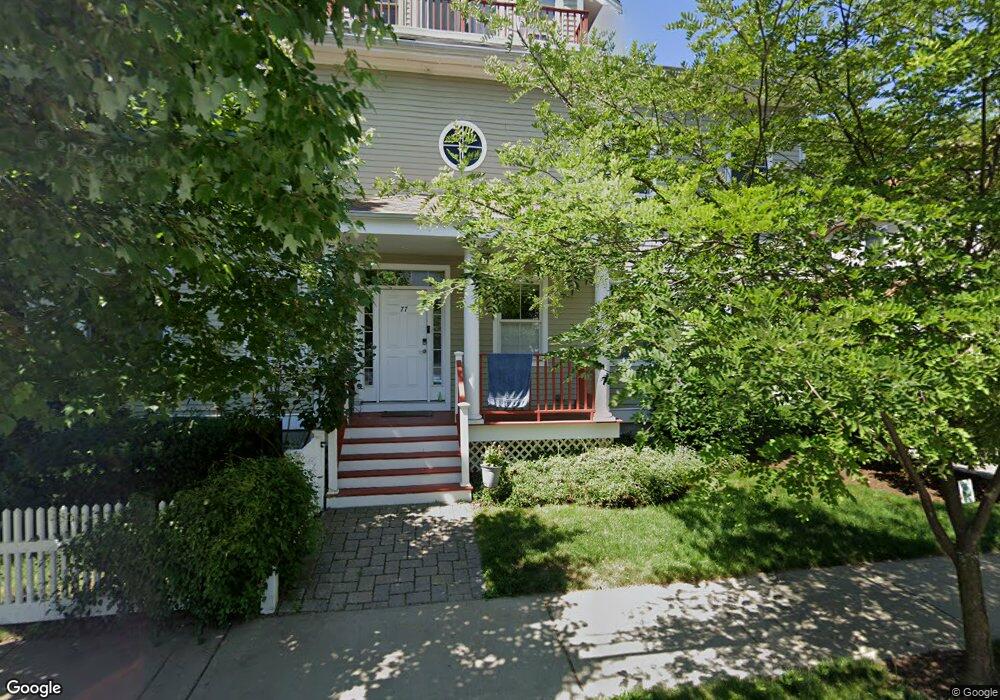
77 West St Unit 77 Newton, MA 02458
Nonantum NeighborhoodEstimated Value: $1,264,000 - $1,684,000
4
Beds
4
Baths
2,550
Sq Ft
$560/Sq Ft
Est. Value
About This Home
This home is located at 77 West St Unit 77, Newton, MA 02458 and is currently estimated at $1,428,138, approximately $560 per square foot. 77 West St Unit 77 is a home located in Middlesex County with nearby schools including Lincoln-Eliot Elementary School, Bigelow Middle School, and Newton North High School.
Ownership History
Date
Name
Owned For
Owner Type
Purchase Details
Closed on
Jun 12, 2009
Sold by
73-77 West Street Llc
Bought by
Furman Efim and Furman Anna
Current Estimated Value
Home Financials for this Owner
Home Financials are based on the most recent Mortgage that was taken out on this home.
Original Mortgage
$417,000
Interest Rate
4.82%
Mortgage Type
Purchase Money Mortgage
Create a Home Valuation Report for This Property
The Home Valuation Report is an in-depth analysis detailing your home's value as well as a comparison with similar homes in the area
Home Values in the Area
Average Home Value in this Area
Purchase History
| Date | Buyer | Sale Price | Title Company |
|---|---|---|---|
| Furman Efim | $615,000 | -- | |
| Furman Efim | $615,000 | -- |
Source: Public Records
Mortgage History
| Date | Status | Borrower | Loan Amount |
|---|---|---|---|
| Open | Furman Efim | $412,000 | |
| Closed | Furman Efim | $412,000 | |
| Closed | Furman Efim | $417,000 | |
| Closed | Furman Efim | $75,000 |
Source: Public Records
Tax History Compared to Growth
Tax History
| Year | Tax Paid | Tax Assessment Tax Assessment Total Assessment is a certain percentage of the fair market value that is determined by local assessors to be the total taxable value of land and additions on the property. | Land | Improvement |
|---|---|---|---|---|
| 2025 | $9,730 | $992,900 | $0 | $992,900 |
| 2024 | $9,409 | $964,000 | $0 | $964,000 |
| 2023 | $9,101 | $894,000 | $0 | $894,000 |
| 2022 | $8,957 | $851,400 | $0 | $851,400 |
| 2021 | $8,642 | $803,200 | $0 | $803,200 |
| 2020 | $8,385 | $803,200 | $0 | $803,200 |
| 2019 | $8,149 | $779,800 | $0 | $779,800 |
| 2018 | $8,159 | $754,100 | $0 | $754,100 |
| 2017 | $7,911 | $711,400 | $0 | $711,400 |
| 2016 | $7,567 | $664,900 | $0 | $664,900 |
| 2015 | $7,351 | $633,200 | $0 | $633,200 |
Source: Public Records
Map
Nearby Homes
- 11 Murphy Ct
- 188-190 Adams St
- 86 West St
- 53 West St
- 3 Ashmont Ave
- 49 Hawthorn St
- 34 West St Unit A
- 158 Adams St
- 12-14 Middle St
- 22-24 Emerald St
- 290 Watertown St Unit 3
- 290 Watertown St Unit 4
- 324 Adams St Unit 2
- 42-44 Judkins St
- 90 Waban Park Unit 2
- 77 Pond Ave Unit 1103
- 282 Nevada St Unit 282
- 230 Bellevue St Unit 1
- 286 Nevada St Unit 286
- 77 Court St Unit 205
- 79 West St Unit 79
- 73 West St Unit 77
- 75 West St Unit 75
- 206 A Adams St Unit 206 A
- 206A Adams St Unit 4
- 206A Adams St Unit 206A
- 206 Adams St
- 206 Adams St
- 206A Adams St Unit a
- 206 Adams St Unit 3
- 206A Adams St
- 69 West St
- 69 West St Unit L3
- 69 West St Unit L6
- 216 Adams St
- 81 West St
- 76 West St
- 78 West St Unit 80
- 65 West St
- 63 West St