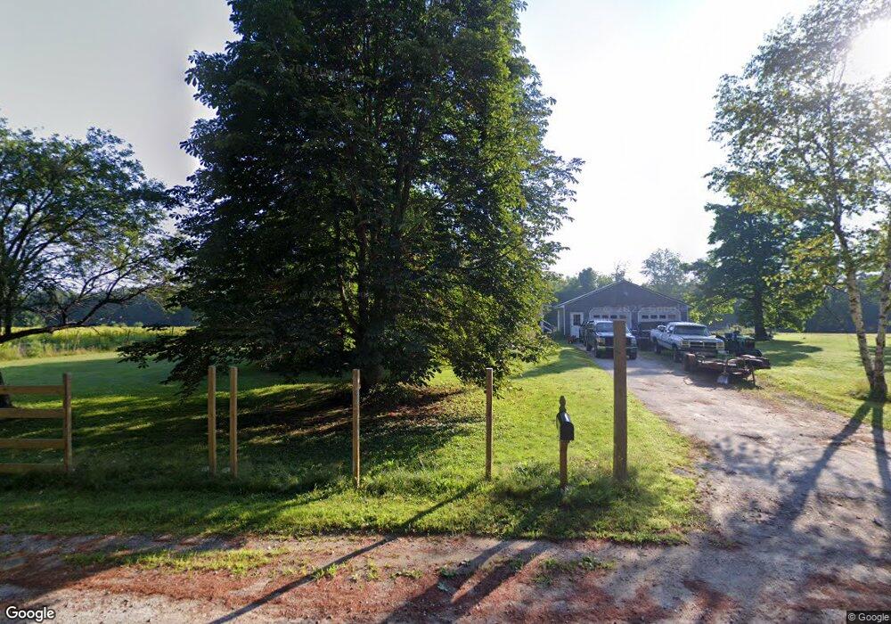
77 Wildwood Rd Bridgton, ME 04009
Estimated Value: $258,481 - $399,000
--
Bed
--
Bath
1,136
Sq Ft
$303/Sq Ft
Est. Value
About This Home
This home is located at 77 Wildwood Rd, Bridgton, ME 04009 and is currently estimated at $344,370, approximately $303 per square foot. 77 Wildwood Rd is a home with nearby schools including Lake Region High School.
Ownership History
Date
Name
Owned For
Owner Type
Purchase Details
Closed on
May 10, 2021
Sold by
Johnston Francis
Bought by
Johnston Joseph A and Wright Cassady J
Current Estimated Value
Home Financials for this Owner
Home Financials are based on the most recent Mortgage that was taken out on this home.
Original Mortgage
$130,465
Interest Rate
2.8%
Mortgage Type
Purchase Money Mortgage
Purchase Details
Closed on
Apr 1, 2021
Sold by
Johnston Francis
Bought by
Johnston Joseph A and Wright Cassady J
Home Financials for this Owner
Home Financials are based on the most recent Mortgage that was taken out on this home.
Original Mortgage
$130,465
Interest Rate
2.8%
Mortgage Type
Purchase Money Mortgage
Create a Home Valuation Report for This Property
The Home Valuation Report is an in-depth analysis detailing your home's value as well as a comparison with similar homes in the area
Home Values in the Area
Average Home Value in this Area
Purchase History
| Date | Buyer | Sale Price | Title Company |
|---|---|---|---|
| Johnston Joseph A | -- | None Available | |
| Johnston Joseph A | -- | None Available |
Source: Public Records
Mortgage History
| Date | Status | Borrower | Loan Amount |
|---|---|---|---|
| Previous Owner | Johnston Joseph A | $130,465 |
Source: Public Records
Tax History Compared to Growth
Tax History
| Year | Tax Paid | Tax Assessment Tax Assessment Total Assessment is a certain percentage of the fair market value that is determined by local assessors to be the total taxable value of land and additions on the property. | Land | Improvement |
|---|---|---|---|---|
| 2024 | $1,867 | $109,481 | $38,948 | $70,533 |
| 2023 | $1,883 | $109,481 | $38,948 | $70,533 |
| 2022 | $1,664 | $109,481 | $38,948 | $70,533 |
| 2021 | $1,688 | $114,053 | $43,520 | $70,533 |
| 2020 | $1,705 | $114,053 | $43,520 | $70,533 |
| 2019 | $1,711 | $114,053 | $43,520 | $70,533 |
| 2018 | $1,688 | $114,053 | $43,520 | $70,533 |
| 2017 | $1,745 | $114,053 | $43,520 | $70,533 |
| 2016 | $1,694 | $114,053 | $43,520 | $70,533 |
| 2015 | $1,908 | $138,779 | $54,520 | $84,259 |
| 2014 | $1,951 | $138,779 | $54,520 | $84,259 |
Source: Public Records
Map
Nearby Homes
- 161 Swamp Rd
- Lot 3 Wildwood Rd
- Lot 23 - D Smally Way
- Lot 23 - F Smally Way
- Lot 23 G Smally Way
- 3 A St
- 4 C St
- 220 S High St
- 0 Tuttle Ln Unit 1628227
- 120 North Rd
- 236 Portland Rd Unit A
- 209 Portland Rd
- 64-74 Portland Rd
- 323 Portland Rd
- 86 Beaver Creek Farm Rd
- Lot 2 North Rd
- 12 Gabardi Ln
- 3 Fowler St
- 20 Bennett St
- 6 School St
- 83 Wildwood Rd
- 41 Wildwood Rd
- 91 Wildwood Rd
- 99 Wildwood Rd
- 27 Warren St
- 154 Swamp Rd
- 24 Warren St
- 107 Wildwood Rd
- 22 Warren St
- 25 Warren St
- Lot 13 Wildwood Rd
- 113 Wildwood Rd
- 15 Wildwood Rd
- 19 Warren St
- Lot 16 Wildwood Rd
- 15 Wildwood Rd
- LOT # 15 Wildwood
- Lot 15 Wildwood Road Radial
- 4 Wildwood Rd
- 5 Wildwood Rd