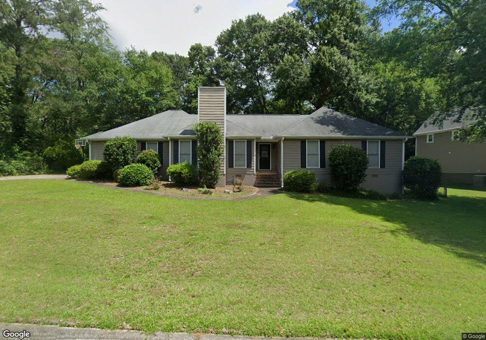
770 Afton Ct Macon, GA 31210
Estimated Value: $215,505 - $231,000
About This Home
This home is located at 770 Afton Ct, Macon, GA 31210 and is currently estimated at $225,376, approximately $128 per square foot. 770 Afton Ct is a home located in Bibb County with nearby schools including Lane Elementary School, Howard Middle School, and Howard High School.
Ownership History
We collect this data history from publicly available records. To have your information removed, we recommend requesting removal directly through your county’s website.
Purchase Details
Home Financials for this Owner
Home Financials are based on the most recent Mortgage that was taken out on this home.Purchase Details
Purchase History
We collect this data history from publicly available records. To have your information removed, we recommend requesting removal directly through your county’s website.
| Date | Buyer | Sale Price | Title Company |
|---|---|---|---|
| $150,450 | None Available | ||
| $132,000 | -- |
Mortgage History
We collect this data history from publicly available records. To have your information removed, we recommend requesting removal directly through your county’s website.
| Date | Status | Borrower | Loan Amount |
|---|---|---|---|
| Open | $146,316 |
Tax History
We collect this data history from publicly available records. To have your information removed, we recommend requesting removal directly through your county’s website.
| Year | Tax Paid | Tax Assessment Tax Assessment Total Assessment is a certain percentage of the fair market value that is determined by local assessors to be the total taxable value of land and additions on the property. | Land | Improvement |
|---|---|---|---|---|
| 2025 | $1,709 | $76,534 | $14,000 | $62,534 |
| 2024 | $1,766 | $76,534 | $14,000 | $62,534 |
| 2023 | $1,309 | $76,534 | $14,000 | $62,534 |
| 2022 | $1,890 | $61,582 | $10,902 | $50,680 |
| 2021 | $1,834 | $55,260 | $9,648 | $45,612 |
| 2020 | $1,874 | $55,260 | $9,648 | $45,612 |
| 2019 | $1,757 | $51,882 | $9,648 | $42,234 |
| 2018 | $2,871 | $51,882 | $9,648 | $42,234 |
| 2017 | $1,682 | $51,882 | $9,648 | $42,234 |
| 2016 | $1,553 | $51,882 | $9,648 | $42,234 |
| 2015 | $2,195 | $51,882 | $9,648 | $42,234 |
| 2014 | $2,557 | $51,882 | $9,648 | $42,234 |
Map
- 914 Glenbrook Rd
- 110 Arbor Climb
- 1115 Darlington Dr
- 636 Lokchapee Ridge
- 843 Green Oak Terrace
- 912 Lundy Terrace
- 177 Brookstone Way
- 969 Newport Rd
- 556 Commanche Place
- 1024 Normandy Rd
- 835 Old Lundy Rd
- 602 Commanche Dr
- 567 Glencove Dr
- 532 Sioux Dr
- 1339 Forest Hill Rd
- 527 Commanche Dr
- 681 Forest Lake Dr N
- 528 Commanche Dr
- 1422 Forest Hill Rd
Ask me questions while you tour the home.