Estimated Value: $321,289 - $349,000
3
Beds
2
Baths
1,235
Sq Ft
$273/Sq Ft
Est. Value
About This Home
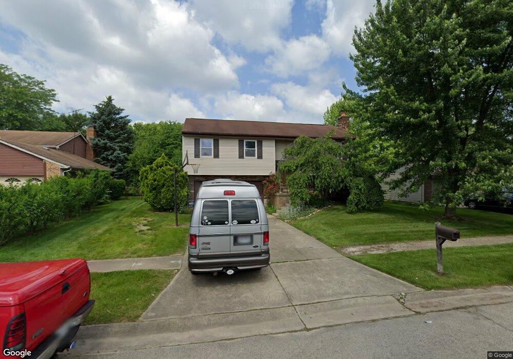
This home is located at 770 Anthony Ln, Mason, OH 45040 and is currently estimated at $337,072, approximately $272 per square foot. 770 Anthony Ln is a home located in Warren County with nearby schools including Mason Intermediate Elementary School, Mason Middle School, and William Mason High School.
Ownership History
Date
Name
Owned For
Owner Type
Purchase Details
Closed on
Dec 1, 2015
Sold by
Patton Shawn R
Bought by
Patton Maxwell R and Patton Shawn R
Current Estimated Value
Purchase Details
Closed on
Sep 20, 1990
Sold by
Clendenen Christopher M and Clendenen Christopher M
Bought by
Patton and Patton Richard K
Purchase Details
Closed on
Dec 27, 1989
Sold by
Stemsrud Randy B and Stemsrud Sharo
Bought by
Clendenen and Clendenen Christopher M
Purchase Details
Closed on
Aug 5, 1987
Sold by
Persson Louis T and Persson Linda
Bought by
Stemsrud and Stemsrud Randy B
Purchase Details
Closed on
Aug 16, 1982
Sold by
Whickhaven & Inc
Purchase Details
Closed on
Dec 29, 1980
Sold by
Jonathan Company & Inc
Purchase Details
Closed on
Mar 12, 1980
Sold by
Jonathan Group & Inc
Create a Home Valuation Report for This Property
The Home Valuation Report is an in-depth analysis detailing your home's value as well as a comparison with similar homes in the area
Home Values in the Area
Average Home Value in this Area
Purchase History
| Date | Buyer | Sale Price | Title Company |
|---|---|---|---|
| Patton Maxwell R | -- | None Available | |
| Patton | $83,100 | -- | |
| Clendenen | $76,000 | -- | |
| Stemsrud | $74,000 | -- | |
| -- | $56,700 | -- | |
| -- | $44,100 | -- | |
| -- | -- | -- |
Source: Public Records
Tax History
| Year | Tax Paid | Tax Assessment Tax Assessment Total Assessment is a certain percentage of the fair market value that is determined by local assessors to be the total taxable value of land and additions on the property. | Land | Improvement |
|---|---|---|---|---|
| 2025 | $3,649 | $89,910 | $24,500 | $65,410 |
| 2024 | $3,649 | $89,910 | $24,500 | $65,410 |
| 2023 | $3,299 | $68,673 | $10,762 | $57,911 |
| 2022 | $3,256 | $68,674 | $10,763 | $57,911 |
| 2021 | $3,085 | $68,674 | $10,763 | $57,911 |
| 2020 | $2,925 | $55,832 | $8,750 | $47,082 |
| 2019 | $2,689 | $55,832 | $8,750 | $47,082 |
| 2018 | $2,698 | $55,832 | $8,750 | $47,082 |
| 2017 | $2,481 | $47,933 | $8,274 | $39,659 |
| 2016 | $2,556 | $47,933 | $8,274 | $39,659 |
| 2015 | $2,561 | $47,933 | $8,274 | $39,659 |
| 2014 | $2,567 | $44,800 | $7,730 | $37,070 |
| 2013 | $2,573 | $50,700 | $8,750 | $41,950 |
Source: Public Records
Map
Nearby Homes
- 792 Majken Place
- 1475 St Lawrence Dr
- 899 Tradewind Dr
- 968 Olympia Dr
- 6300 Amber Ct
- 6404 Coverage Ct
- 6394 Coverage Ct
- 6382 Coverage Ct
- 6411 Coverage Ct
- 6378 Coverage Ct
- 6364 Coverage Ct
- 6354 Coverage Ct
- 6403 Nicholas Way
- 6393 Nicholas Way
- 6179 Nicholas Way
- 6358 Coverage Ct
- 6379 Coverage Ct
- 6175 Nicholas Way
- 6375 Coverage Ct
- 6171 Nicholas Way
- 766 Anthony Ln
- 774 Anthony Ln
- 811 Majken Place
- 778 Anthony Ln
- 800 Majken Place
- 762 Anthony Ln
- 1318 Jennings Ct
- 769 Anthony Ln
- 773 Anthony Ln
- 765 Anthony Ln
- 1322 Jennings Ct
- 782 Anthony Ln
- 796 Majken Place
- 807 Majken Place
- 777 Anthony Ln
- 761 Anthony Ln
- 1317 Jennings Ct
- 754 Anthony Ln
- 786 Anthony Ln
- 781 Anthony Ln
Your Personal Tour Guide
Ask me questions while you tour the home.