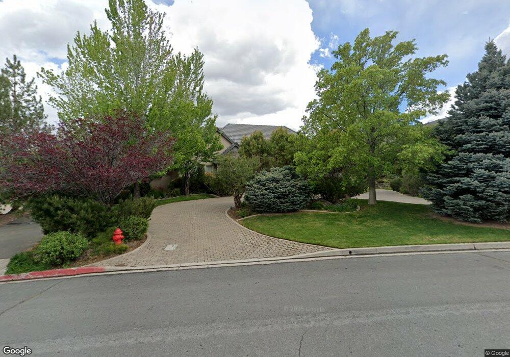
770 Aspen Trail Unit 5 Reno, NV 89519
South Outer Reno NeighborhoodEstimated Value: $1,621,000 - $2,376,000
4
Beds
4
Baths
3,925
Sq Ft
$511/Sq Ft
Est. Value
About This Home
This home is located at 770 Aspen Trail Unit 5, Reno, NV 89519 and is currently estimated at $2,007,250, approximately $511 per square foot. 770 Aspen Trail Unit 5 is a home located in Washoe County with nearby schools including Roy Gomm Elementary School, Darrell C Swope Middle School, and Reno High School.
Ownership History
Date
Name
Owned For
Owner Type
Purchase Details
Closed on
Jan 24, 2008
Sold by
Sax Kenji W and Lamerson Cindy L
Bought by
Rno Associates Llc
Current Estimated Value
Purchase Details
Closed on
Jan 1, 2005
Sold by
Sax Kenji W and Lamerson Cindy L
Bought by
Sax Kenji W and Lamerson Cindy L
Purchase Details
Closed on
Sep 23, 2003
Sold by
Mcreynolds Randall S and Mcreynolds Cynthia L
Bought by
Sax Kenji W and Lamerson Cindy L
Home Financials for this Owner
Home Financials are based on the most recent Mortgage that was taken out on this home.
Original Mortgage
$650,000
Interest Rate
6.4%
Mortgage Type
Unknown
Purchase Details
Closed on
Jun 9, 1998
Sold by
Hunter Creek Development Company
Bought by
Mcreynolds Randall S and Mcreynolds Cynthia L
Create a Home Valuation Report for This Property
The Home Valuation Report is an in-depth analysis detailing your home's value as well as a comparison with similar homes in the area
Home Values in the Area
Average Home Value in this Area
Purchase History
| Date | Buyer | Sale Price | Title Company |
|---|---|---|---|
| Rno Associates Llc | -- | None Available | |
| Sax Kenji W | -- | None Available | |
| Sax Kenji W | -- | -- | |
| Sax Kenji W | $3,690,000 | Stewart Title Of Northern Nv | |
| Mcreynolds Randall S | $115,000 | First American Title Co |
Source: Public Records
Mortgage History
| Date | Status | Borrower | Loan Amount |
|---|---|---|---|
| Previous Owner | Sax Kenji W | $650,000 | |
| Closed | Sax Kenji W | $350,000 |
Source: Public Records
Tax History Compared to Growth
Tax History
| Year | Tax Paid | Tax Assessment Tax Assessment Total Assessment is a certain percentage of the fair market value that is determined by local assessors to be the total taxable value of land and additions on the property. | Land | Improvement |
|---|---|---|---|---|
| 2025 | $14,812 | $476,646 | $117,600 | $359,046 |
| 2024 | $14,812 | $481,320 | $117,600 | $363,720 |
| 2023 | $14,377 | $448,472 | $110,250 | $338,222 |
| 2022 | $13,961 | $383,461 | $97,388 | $286,074 |
| 2021 | $13,556 | $369,734 | $82,688 | $287,046 |
| 2020 | $13,718 | $374,249 | $82,688 | $291,561 |
| 2019 | $13,466 | $370,572 | $73,500 | $297,072 |
| 2018 | $13,074 | $364,614 | $73,500 | $291,114 |
| 2017 | $12,694 | $365,664 | $73,500 | $292,164 |
| 2016 | $12,374 | $368,833 | $67,988 | $300,845 |
| 2015 | $3,113 | $343,561 | $41,197 | $302,364 |
| 2014 | $11,997 | $327,005 | $31,973 | $295,032 |
| 2013 | -- | $321,964 | $31,973 | $289,991 |
Source: Public Records
Map
Nearby Homes
- 4305 Mountaingate Dr
- 4400 Mountaingate Dr
- 5195 Canyon Dr
- 4485 Mountaingate Dr
- 30 Francovich Ct
- 4595 Woodchuck Cir
- 4265 Hackamore Dr
- 4840 Keshmiri Place
- 4315 Water Hole Rd
- 4930 Woodchuck Cir Unit 4
- 4229 Christy Way
- 4890 Woodchuck Cir Unit 3
- 4895 Woodchuck Cir Unit 16
- 4283 Water Hole Rd
- 4820 Woodchuck Cir Unit 2
- 4825 Woodchuck Cir Unit 17
- 4760 Woodchuck Cir Unit 1
- 5045 Hunters Peak Rd Unit 13
- 7440 W 4th St Unit 7
- 7440 W 4th St Unit 46
- 760 Aspen Trail
- 790 Aspen Trail
- 792 Aspen Trail Unit 5
- 2913 Aspen Trail
- 771 Aspen Trail
- 761 Aspen Trail
- 750 Aspen Trail
- 781 Aspen Trail
- 4415 Bridle Way
- 791 Aspen Trail
- 4395 Bridle Way
- 741 Aspen Trail
- 4280 Juniper Trail
- 6994 Aspen Trail
- 4260 Plateau Rd
- 731 Aspen Trail
- 730 Aspen Trail
- 4270 Aspen Trail
- 4350 Juniper Trail
- 4340 Juniper Trail