770 Boston Post Rd Weston, MA 02493
Estimated Value: $1,521,000 - $4,934,728
5
Beds
3
Baths
5,176
Sq Ft
$519/Sq Ft
Est. Value
About This Home
This home is located at 770 Boston Post Rd, Weston, MA 02493 and is currently estimated at $2,686,182, approximately $518 per square foot. 770 Boston Post Rd is a home located in Middlesex County with nearby schools including Country Elementary School, Woodland Elementary School, and Field Elementary School.
Ownership History
Date
Name
Owned For
Owner Type
Purchase Details
Closed on
Nov 1, 2006
Sold by
R Mathews Rt and Mathews Robert H
Bought by
Sa Chestnut Llc
Current Estimated Value
Purchase Details
Closed on
Jun 13, 2006
Sold by
Mathews Robert H
Bought by
R Mathews Rt and Mathews Robert H
Purchase Details
Closed on
Mar 11, 2004
Sold by
Mathews Thomas
Bought by
Boston Post Road Rt and Mathews Robert H
Purchase Details
Closed on
Dec 17, 2003
Sold by
Mathews Susan and Mathews Scott
Bought by
R Mathews Rt
Purchase Details
Closed on
Sep 30, 1996
Sold by
Mathews Robert H and Mathews Kathleen M
Bought by
Mathews Scott and Mathews Susan
Purchase Details
Closed on
Feb 24, 1988
Sold by
D & S Rt
Bought by
Mathews Robert
Create a Home Valuation Report for This Property
The Home Valuation Report is an in-depth analysis detailing your home's value as well as a comparison with similar homes in the area
Home Values in the Area
Average Home Value in this Area
Purchase History
| Date | Buyer | Sale Price | Title Company |
|---|---|---|---|
| Sa Chestnut Llc | $2,400,000 | -- | |
| R Mathews Rt | -- | -- | |
| R Mathews Rt | -- | -- | |
| R Mathews Rt | -- | -- | |
| Boston Post Road Rt | -- | -- | |
| Mathews Thomas | -- | -- | |
| R Mathews Rt | -- | -- | |
| R Mathews Rt | -- | -- | |
| Mathews Scott | $2,450 | -- | |
| Mathews Scott | $2,450 | -- | |
| Mathews Robert | $16,000 | -- |
Source: Public Records
Tax History
| Year | Tax Paid | Tax Assessment Tax Assessment Total Assessment is a certain percentage of the fair market value that is determined by local assessors to be the total taxable value of land and additions on the property. | Land | Improvement |
|---|---|---|---|---|
| 2025 | $19,920 | $1,794,600 | $1,794,600 | $0 |
| 2024 | $19,956 | $1,794,600 | $1,794,600 | $0 |
| 2023 | $21,248 | $1,794,600 | $1,794,600 | $0 |
| 2022 | $28,045 | $2,189,300 | $1,642,800 | $546,500 |
| 2021 | $0 | $2,116,200 | $1,595,400 | $520,800 |
| 2020 | $27,151 | $2,116,200 | $1,595,400 | $520,800 |
| 2019 | $26,600 | $2,112,800 | $1,595,400 | $517,400 |
| 2018 | $0 | $2,112,800 | $1,595,400 | $517,400 |
| 2017 | $26,199 | $2,112,800 | $1,595,400 | $517,400 |
| 2016 | $26,495 | $2,178,900 | $1,595,400 | $583,500 |
| 2015 | $26,030 | $2,119,700 | $1,554,000 | $565,700 |
Source: Public Records
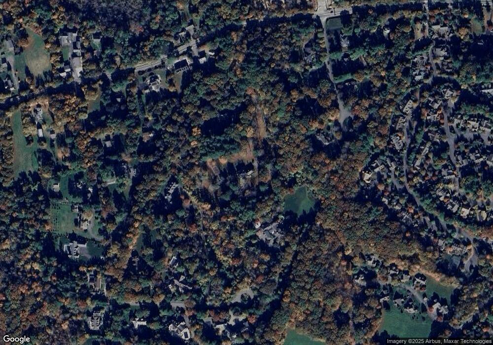
Map
Nearby Homes
- 15 Claridge Dr
- 16 Livermore Ln
- 16 Livermore Ln Unit 16
- 1 Pine Summit Cir
- 741 Boston Post Rd
- 823 Boston Post Rd
- 9 Sanderson Ln
- 21 Westerly Rd
- 30 Warren Ave
- 180 Highland St
- 10 Audubon Rd
- 23 Covered Bridge Ln
- 21 Jericho Rd Unit 21
- 253 Highland St
- 13 Rich Valley Rd
- 6 Dairy Farm Ln
- 54 Old Connecticut Path
- 233 Rice Rd
- 231 Westerly Rd
- 133 Wellesley St
- 778 Boston Post Rd
- 12 Claridge Dr
- 8 Claridge Dr
- 23 Sutton Place
- 15 Sutton Place
- 800 Boston Post Rd
- 44 Claridge Dr
- 794 Boston Post Rd
- 7 Sutton Place Unit 3-7
- 7 Sutton Place
- 107 Love Ln
- 786 Boston Post Rd
- 6 Ridgehurst Cir Unit 6RC
- 8 Ridgehurst Cir Unit 8RC
- 798 Boston Post Rd
- 99 Love Ln
- 6 Claridge Dr
- 4 Ridgehurst Cir Unit 4RC
- 117 Love Ln
- 117 Love Ln
Your Personal Tour Guide
Ask me questions while you tour the home.