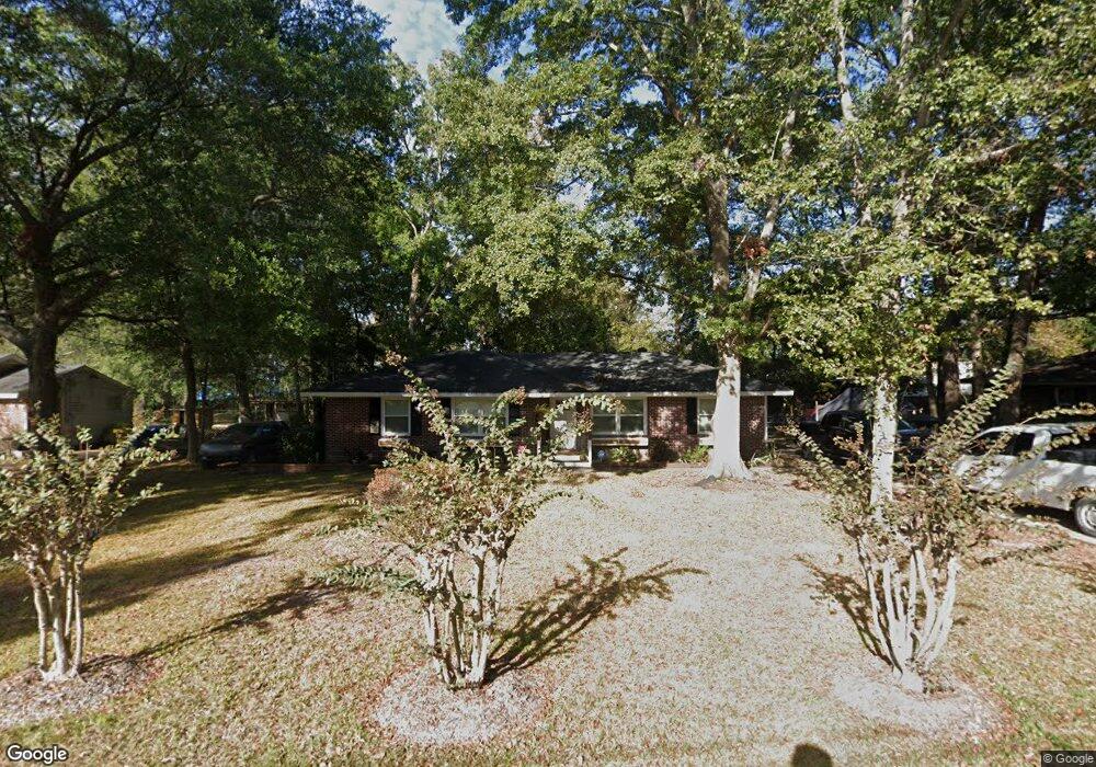
770 Catawba Rd Charleston, SC 29414
West Ashley NeighborhoodEstimated Value: $245,000 - $384,000
3
Beds
1
Bath
1,321
Sq Ft
$236/Sq Ft
Est. Value
About This Home
This home is located at 770 Catawba Rd, Charleston, SC 29414 and is currently estimated at $312,113, approximately $236 per square foot. 770 Catawba Rd is a home located in Charleston County with nearby schools including Oakland Elementary School, West Ashley High School, and Carolina Voyager Charter.
Ownership History
Date
Name
Owned For
Owner Type
Purchase Details
Closed on
Dec 11, 2018
Sold by
Calhoun Ashley William
Bought by
Calhoun Ryan J and Calhoun Ryan Jason
Current Estimated Value
Home Financials for this Owner
Home Financials are based on the most recent Mortgage that was taken out on this home.
Original Mortgage
$136,000
Outstanding Balance
$120,058
Interest Rate
4.9%
Mortgage Type
New Conventional
Estimated Equity
$192,055
Purchase Details
Closed on
Aug 11, 2011
Sold by
Calhoun Cynthia
Bought by
Calhoun Ashley William and Calhoun Ryan Jason
Create a Home Valuation Report for This Property
The Home Valuation Report is an in-depth analysis detailing your home's value as well as a comparison with similar homes in the area
Home Values in the Area
Average Home Value in this Area
Purchase History
| Date | Buyer | Sale Price | Title Company |
|---|---|---|---|
| Calhoun Ryan J | $113,775 | None Available | |
| Calhoun Ashley William | -- | -- |
Source: Public Records
Mortgage History
| Date | Status | Borrower | Loan Amount |
|---|---|---|---|
| Open | Calhoun Ryan J | $136,000 |
Source: Public Records
Tax History Compared to Growth
Tax History
| Year | Tax Paid | Tax Assessment Tax Assessment Total Assessment is a certain percentage of the fair market value that is determined by local assessors to be the total taxable value of land and additions on the property. | Land | Improvement |
|---|---|---|---|---|
| 2024 | $1,584 | $8,800 | $0 | $0 |
| 2023 | $1,584 | $8,800 | $0 | $0 |
| 2022 | $1,491 | $8,800 | $0 | $0 |
| 2021 | $1,540 | $8,800 | $0 | $0 |
| 2020 | $1,557 | $8,800 | $0 | $0 |
| 2019 | $3,978 | $8,800 | $0 | $0 |
| 2017 | $938 | $5,280 | $0 | $0 |
| 2016 | $905 | $5,280 | $0 | $0 |
| 2015 | $898 | $5,280 | $0 | $0 |
| 2014 | $848 | $0 | $0 | $0 |
| 2011 | -- | $0 | $0 | $0 |
Source: Public Records
Map
Nearby Homes
- 0 Savage Rd Unit 24013685
- 2404 Menola Ave
- 2553 Etiwan Ave
- 2555 Etiwan Ave
- 825 Savage Rd
- 834 Savage Rd
- 736 Savage Rd
- 747 Brant Rd
- 2494 Etiwan Ave Unit 10h
- 2494 Etiwan Ave Unit 5h
- 2494 Etiwan Ave Unit B9
- 2494 Etiwan Ave Unit 9-D
- 899 Melrose Dr
- 519 Parkdale Dr Unit J
- 738 Olney Rd
- 738 Olney Dr
- 2438 Two Oaks Dr
- 2519 Longbranch Dr
- 2518 Flamingo Dr
- 945 E Estates Blvd Unit D
- 774 Catawba Rd
- 764 Catawba Rd
- 2327 S England St
- 2331 S England St
- 2323 S England St
- 2335 S England St
- 780 Catawba Rd
- 2319 S England St
- 769 Catawba Rd
- 760 Catawba Rd
- 775 Catawba Rd
- 2315 S England St
- 763 Catawba Rd
- 2343 S England St
- 779 Catawba Rd
- 2311 S England St
- 804 Melrose Dr
- 808 Melrose Dr
- 778 Williamsburg Ln
- 2336 S England St