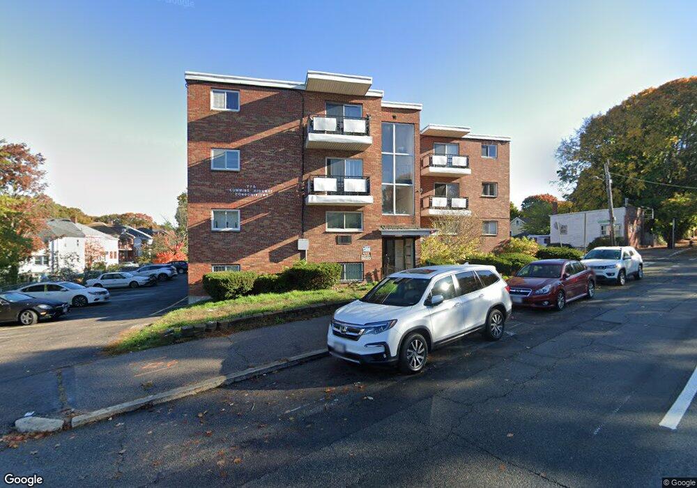
770 Cummins Hwy Unit 12A Mattapan, MA 02126
Southern Mattapan NeighborhoodEstimated Value: $274,000 - $445,000
1
Bed
1
Bath
674
Sq Ft
$474/Sq Ft
Est. Value
About This Home
This home is located at 770 Cummins Hwy Unit 12A, Mattapan, MA 02126 and is currently estimated at $319,159, approximately $473 per square foot. 770 Cummins Hwy Unit 12A is a home located in Suffolk County with nearby schools including KIPP Academy Boston Charter School and Berea Seventh-day Adventist Academy.
Ownership History
Date
Name
Owned For
Owner Type
Purchase Details
Closed on
Feb 25, 1999
Sold by
Armstead Roger A and Armstead Deborah A
Bought by
Stewart Loraine E
Current Estimated Value
Home Financials for this Owner
Home Financials are based on the most recent Mortgage that was taken out on this home.
Original Mortgage
$42,000
Outstanding Balance
$9,758
Interest Rate
6.78%
Mortgage Type
Purchase Money Mortgage
Estimated Equity
$309,401
Create a Home Valuation Report for This Property
The Home Valuation Report is an in-depth analysis detailing your home's value as well as a comparison with similar homes in the area
Home Values in the Area
Average Home Value in this Area
Purchase History
| Date | Buyer | Sale Price | Title Company |
|---|---|---|---|
| Stewart Loraine E | $49,000 | -- | |
| Stewart Loraine E | $49,000 | -- |
Source: Public Records
Mortgage History
| Date | Status | Borrower | Loan Amount |
|---|---|---|---|
| Open | Stewart Loraine E | $42,000 | |
| Closed | Stewart Loraine E | $42,000 |
Source: Public Records
Tax History Compared to Growth
Tax History
| Year | Tax Paid | Tax Assessment Tax Assessment Total Assessment is a certain percentage of the fair market value that is determined by local assessors to be the total taxable value of land and additions on the property. | Land | Improvement |
|---|---|---|---|---|
| 2025 | $2,243 | $193,700 | $0 | $193,700 |
| 2024 | $2,480 | $227,500 | $0 | $227,500 |
| 2023 | $2,370 | $220,700 | $0 | $220,700 |
| 2022 | $2,245 | $206,300 | $0 | $206,300 |
| 2021 | $2,076 | $194,600 | $0 | $194,600 |
| 2020 | $1,411 | $133,600 | $0 | $133,600 |
| 2019 | $1,281 | $121,500 | $0 | $121,500 |
| 2018 | $1,273 | $121,500 | $0 | $121,500 |
| 2017 | $1,214 | $114,600 | $0 | $114,600 |
| 2016 | $1,223 | $111,200 | $0 | $111,200 |
| 2015 | $1,188 | $98,100 | $0 | $98,100 |
| 2014 | $1,198 | $95,200 | $0 | $95,200 |
Source: Public Records
Map
Nearby Homes
- 770 Cummins Hwy Unit 1
- 770 Cummins Hwy Unit 22
- 10 Brockton St
- 95 Woodhaven St
- 839-843 Cummins Hwy
- 90 Hollingsworth St
- 231 Itasca St
- 48-50 Rockdale St
- 23 Caton St
- 100 Itasca St
- 34 Ridlon Rd
- 20 Monterey Ave
- 1465 Blue Hill Ave
- 60 and 64 Monterey Ave
- 645 River St
- 25 Alpine St Unit 7
- 116 Almont St
- 179 Hebron St
- 72 Livermore St
- 12 Hiawatha Rd
- 770 Cummins Hwy Unit 28
- 770 Cummins Hwy Unit 27
- 770 Cummins Hwy Unit 26
- 770 Cummins Hwy Unit 25
- 770 Cummins Hwy Unit 24
- 770 Cummins Hwy Unit 23
- 770 Cummins Hwy Unit 21
- 770 Cummins Hwy Unit 20
- 770 Cummins Hwy Unit 19
- 770 Cummins Hwy Unit 18
- 770 Cummins Hwy Unit 17
- 770 Cummins Hwy Unit 16
- 770 Cummins Hwy Unit 15
- 770 Cummins Hwy Unit 14
- 770 Cummins Hwy Unit 11
- 770 Cummins Hwy Unit 10
- 770 Cummins Hwy Unit 9
- 770 Cummins Hwy Unit 8
- 770 Cummins Hwy Unit 7
- 770 Cummins Hwy Unit 6