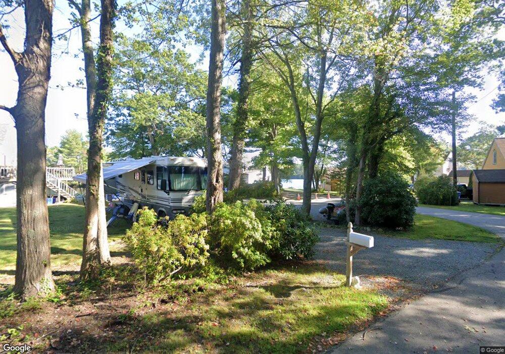
770 Eastside Rd Wrentham, MA 02093
Estimated Value: $423,000 - $682,000
3
Beds
1
Bath
881
Sq Ft
$638/Sq Ft
Est. Value
About This Home
This home is located at 770 Eastside Rd, Wrentham, MA 02093 and is currently estimated at $561,756, approximately $637 per square foot. 770 Eastside Rd is a home located in Norfolk County with nearby schools including Delaney Elementary School and Charles E Roderick.
Ownership History
Date
Name
Owned For
Owner Type
Purchase Details
Closed on
Sep 16, 2016
Sold by
Benedetto Lawrence
Bought by
790 East Side Road Rt and Cecca
Current Estimated Value
Purchase Details
Closed on
Nov 19, 2014
Sold by
Nielsen Bruce A
Bought by
Nielsen Donald R and Tabor Marilyn E
Create a Home Valuation Report for This Property
The Home Valuation Report is an in-depth analysis detailing your home's value as well as a comparison with similar homes in the area
Purchase History
| Date | Buyer | Sale Price | Title Company |
|---|---|---|---|
| 790 East Side Road Rt | $380,000 | -- | |
| Nielsen Donald R | $67,000 | -- | |
| Nielsen Bruce A | -- | -- |
Source: Public Records
Tax History
| Year | Tax Paid | Tax Assessment Tax Assessment Total Assessment is a certain percentage of the fair market value that is determined by local assessors to be the total taxable value of land and additions on the property. | Land | Improvement |
|---|---|---|---|---|
| 2025 | $6,091 | $525,500 | $421,500 | $104,000 |
| 2024 | $5,585 | $465,400 | $421,500 | $43,900 |
| 2023 | $5,194 | $411,600 | $377,800 | $33,800 |
| 2022 | $4,614 | $337,500 | $310,800 | $26,700 |
| 2021 | $5,182 | $368,300 | $343,500 | $24,800 |
| 2020 | $5,482 | $384,700 | $349,600 | $35,100 |
| 2019 | $5,608 | $397,200 | $362,100 | $35,100 |
| 2018 | $4,993 | $350,600 | $327,200 | $23,400 |
| 2017 | $4,872 | $341,900 | $320,900 | $21,000 |
| 2016 | $4,744 | $332,200 | $311,600 | $20,600 |
| 2015 | $4,798 | $320,300 | $299,600 | $20,700 |
| 2014 | $4,717 | $308,100 | $288,100 | $20,000 |
Source: Public Records
Map
Nearby Homes
- 12 Earle Stewart Ln
- 2 Earle Stewart Ln
- 10 Earle Stewart Ln Unit Lot 5
- 135 Creek St Unit 2
- 3 Earle Stewart Ln
- 500 Franklin St
- 10 Nature View Dr
- 15 Nature View Dr
- 440 Chestnut St
- 50 Reed Fulton Ave Unit Lot 61
- 613 West St
- 955 Summer St
- 1222 South St
- 75 Jordan Rd
- 0 Fall Ln
- 45 Joshua Rd
- 3 Oak View Terrace Unit 3
- 246 Forest Grove Ave
- 282 Thurston St
- 440 South St
- 780 Eastside Rd
- 760 Eastside Rd
- 800 Eastside Rd
- 750 Eastside Rd
- 790 Eastside Rd
- 790 Eastside Rd
- 810 Eastside Rd
- 740 Eastside Rd
- 730 Eastside Rd
- 820 Eastside Rd
- 823 Eastside Rd
- 720 Eastside Rd
- 825 Eastside Rd
- 815 Eastside Rd
- 710 Eastside Rd
- 700 Eastside Rd
- 690 Eastside Rd
- 680 Eastside Rd
- 670 Eastside Rd
- 660 Eastside Rd
Your Personal Tour Guide
Ask me questions while you tour the home.