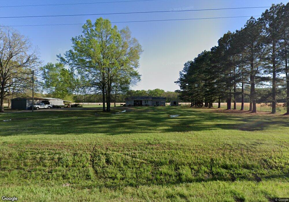
770 Highway 89 S Sherwood, AR 72120
Estimated Value: $268,240 - $391,000
--
Bed
2
Baths
1,600
Sq Ft
$195/Sq Ft
Est. Value
About This Home
This home is located at 770 Highway 89 S, Sherwood, AR 72120 and is currently estimated at $312,080, approximately $195 per square foot. 770 Highway 89 S is a home located in Faulkner County with nearby schools including Cato Elementary School, Sylvan Hills Middle School, and Sylvan Hills High School.
Ownership History
Date
Name
Owned For
Owner Type
Purchase Details
Closed on
Oct 30, 2020
Sold by
Jones Brandy
Bought by
Baker Michael Benjamin
Current Estimated Value
Purchase Details
Closed on
Aug 28, 2020
Sold by
Baker Michael Benjamin
Bought by
Jones Brandy Michelle
Purchase Details
Closed on
Apr 17, 2014
Sold by
Baker Belynda
Bought by
Baker Ben
Purchase Details
Closed on
Dec 21, 1999
Bought by
Baker
Purchase Details
Closed on
Dec 3, 1999
Bought by
Michael Baker
Purchase Details
Closed on
Jun 15, 1994
Bought by
Wilson and Wilson Baker
Create a Home Valuation Report for This Property
The Home Valuation Report is an in-depth analysis detailing your home's value as well as a comparison with similar homes in the area
Home Values in the Area
Average Home Value in this Area
Purchase History
| Date | Buyer | Sale Price | Title Company |
|---|---|---|---|
| Baker Michael Benjamin | -- | None Available | |
| Jones Brandy Michelle | -- | None Available | |
| Baker Ben | -- | None Available | |
| Baker | -- | -- | |
| Michael Baker | -- | -- | |
| Wilson | -- | -- |
Source: Public Records
Tax History Compared to Growth
Tax History
| Year | Tax Paid | Tax Assessment Tax Assessment Total Assessment is a certain percentage of the fair market value that is determined by local assessors to be the total taxable value of land and additions on the property. | Land | Improvement |
|---|---|---|---|---|
| 2025 | $1,390 | $30,060 | $5,490 | $24,570 |
| 2024 | $1,274 | $30,060 | $5,490 | $24,570 |
| 2023 | $1,159 | $23,650 | $5,430 | $18,220 |
| 2022 | $787 | $38,150 | $8,970 | $29,180 |
| 2021 | $1,346 | $38,150 | $8,970 | $29,180 |
| 2020 | $1,266 | $32,610 | $8,690 | $23,920 |
| 2019 | $1,266 | $32,610 | $8,690 | $23,920 |
| 2018 | $1,343 | $32,610 | $8,690 | $23,920 |
| 2017 | $1,343 | $32,610 | $8,690 | $23,920 |
| 2016 | $1,343 | $32,610 | $8,690 | $23,920 |
| 2015 | $1,818 | $37,110 | $8,780 | $28,330 |
| 2014 | $1,557 | $37,110 | $8,780 | $28,330 |
Source: Public Records
Map
Nearby Homes
- 1 Wesley Trail
- 00 Moon Rd
- 48 Bridge Field Dr
- 41 Bridge Field Dr
- 35 Friday Ln
- 00 Melissa Ln
- 11908 Melissa Ln
- 9604 Sayles Rd
- 101 Quail Valley Rd
- 29 Meadows Ln
- 14 Rose Ln
- 196 Stone Mountain Rd
- 151 Stone Mountain Rd
- 000 Jones Rd Unit Schrewsbury Road
- 29 Amber Oaks
- 00 Winding Branch Ln
- Tract 81 Aj Lewis Dr
- Tract 79 Aj Lewis Dr
- Tract 87 Aj Lewis Dr
- Tract 85 Aj Lewis Dr
- 759 Highway 89 S
- 781 Highway 89 S Unit A
- 781 Highway 89 S
- 757 Highway 89 S
- 786 Highway 89 S
- 753 Highway 89 S
- 752 Highway 89 S
- 4 Cato Rd
- 0 Cato Rd Unit 10328283
- 0 Cato Rd Unit 20009580
- 0 Cato Rd Unit 19000942
- 17 Cato Fire Station Rd
- 26 Cato Fire Station Rd
- 26 Cato Fire Station Rd
- 20 Cato Rd
- 26 Cato Fire Station Rd
- 737 Highway 89 S
- 737 Highway 89 S
- 793 Highway 89 S
- 9 Cato Rd