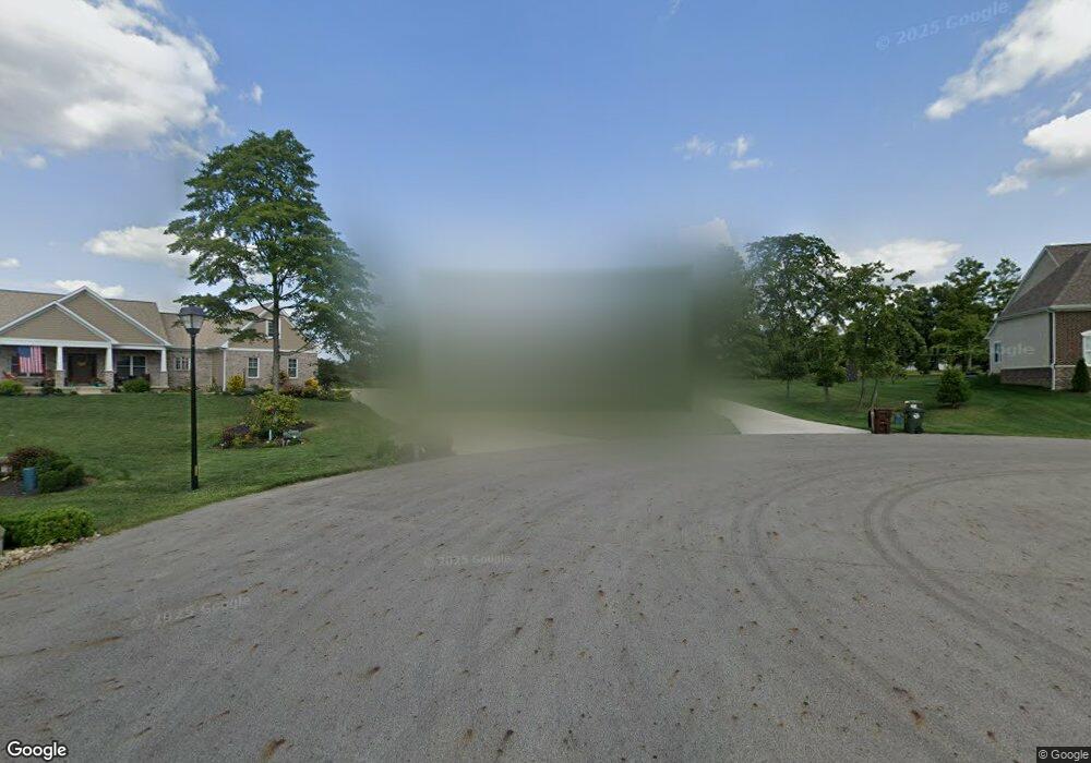
770 Hummingbird Ct Canal Winchester, OH 43110
Bloom NeighborhoodEstimated Value: $662,000 - $906,000
3
Beds
3
Baths
3,012
Sq Ft
$253/Sq Ft
Est. Value
About This Home
This home is located at 770 Hummingbird Ct, Canal Winchester, OH 43110 and is currently estimated at $762,501, approximately $253 per square foot. 770 Hummingbird Ct is a home with nearby schools including Bloom Carroll Primary School, Bloom Carroll Intermediate School, and Bloom-Carroll Middle School.
Ownership History
Date
Name
Owned For
Owner Type
Purchase Details
Closed on
Dec 4, 2020
Sold by
Wentzel Steven J and Hall Sherri D
Bought by
Wentzel Steven J and Hall Sherri D
Current Estimated Value
Purchase Details
Closed on
Feb 15, 2019
Sold by
Jm Muggs Ltd
Bought by
Wentzel Steven J and Hall Sherri D
Home Financials for this Owner
Home Financials are based on the most recent Mortgage that was taken out on this home.
Original Mortgage
$103,000
Interest Rate
4.4%
Mortgage Type
Future Advance Clause Open End Mortgage
Create a Home Valuation Report for This Property
The Home Valuation Report is an in-depth analysis detailing your home's value as well as a comparison with similar homes in the area
Home Values in the Area
Average Home Value in this Area
Purchase History
| Date | Buyer | Sale Price | Title Company |
|---|---|---|---|
| Wentzel Steven J | -- | None Available | |
| Wentzel Steven J | $123,000 | None Available |
Source: Public Records
Mortgage History
| Date | Status | Borrower | Loan Amount |
|---|---|---|---|
| Closed | Wentzel Steven J | $103,000 |
Source: Public Records
Tax History Compared to Growth
Tax History
| Year | Tax Paid | Tax Assessment Tax Assessment Total Assessment is a certain percentage of the fair market value that is determined by local assessors to be the total taxable value of land and additions on the property. | Land | Improvement |
|---|---|---|---|---|
| 2024 | $16,677 | $210,040 | $41,900 | $168,140 |
| 2023 | $8,610 | $210,040 | $41,900 | $168,140 |
| 2022 | $8,679 | $210,040 | $41,900 | $168,140 |
| 2021 | $8,781 | $193,100 | $40,240 | $152,860 |
| 2020 | $2,609 | $70,810 | $40,240 | $30,570 |
| 2019 | $1,899 | $40,240 | $40,240 | $0 |
| 2018 | $1,123 | $40,240 | $40,240 | $0 |
| 2017 | $1,057 | $24,220 | $24,220 | $0 |
| 2016 | $0 | $24,220 | $24,220 | $0 |
Source: Public Records
Map
Nearby Homes
- 0 Columbus St Unit 225023784
- 750 Faulkner Dr
- 740 Faulkner Dr
- 730 Faulkner Dr
- 520 Eastman Ave
- 560 Eastman Ave
- 330 W Columbus St
- 667 Faulkner Dr
- Henley Plan at The Summit at Wagnalls Run
- Fairton Plan at The Summit at Wagnalls Run
- Aldridge Plan at The Summit at Wagnalls Run
- Pendleton Plan at The Summit at Wagnalls Run
- Juniper Plan at The Summit at Wagnalls Run
- Harmony Plan at The Summit at Wagnalls Run
- Stamford Plan at The Summit at Wagnalls Run
- Bellamy Plan at The Summit at Wagnalls Run
- Chatham Plan at The Summit at Wagnalls Run
- 1400 Hansberry Dr
- 627 Faulkner Dr
- 73 E North St
- 794 Hummingbird Ct
- 670 Hummingbird Ct
- 791 Hummingbird Ct
- 570 Hummingbird Ct
- 0 Hummingbird Ct Unit LOT 18
- 677 Hummingbird Ct
- 541 Hummingbird Ct
- 1207 Bluebird Ln
- 323 Robin Place
- 450 Hummingbird Ct
- 0 Columbus St Unit 213029702
- 1333 Bluebird Ln
- 1384 Bluebird Ln Unit Lot 9
- 0 Robin Place
- 0 Robin Place Unit Lot 11
- 87 Robin Place
- 277 Robin Place
- 194 Robin Place
- 1224 Bluebird Ln
- 326 Robin Place