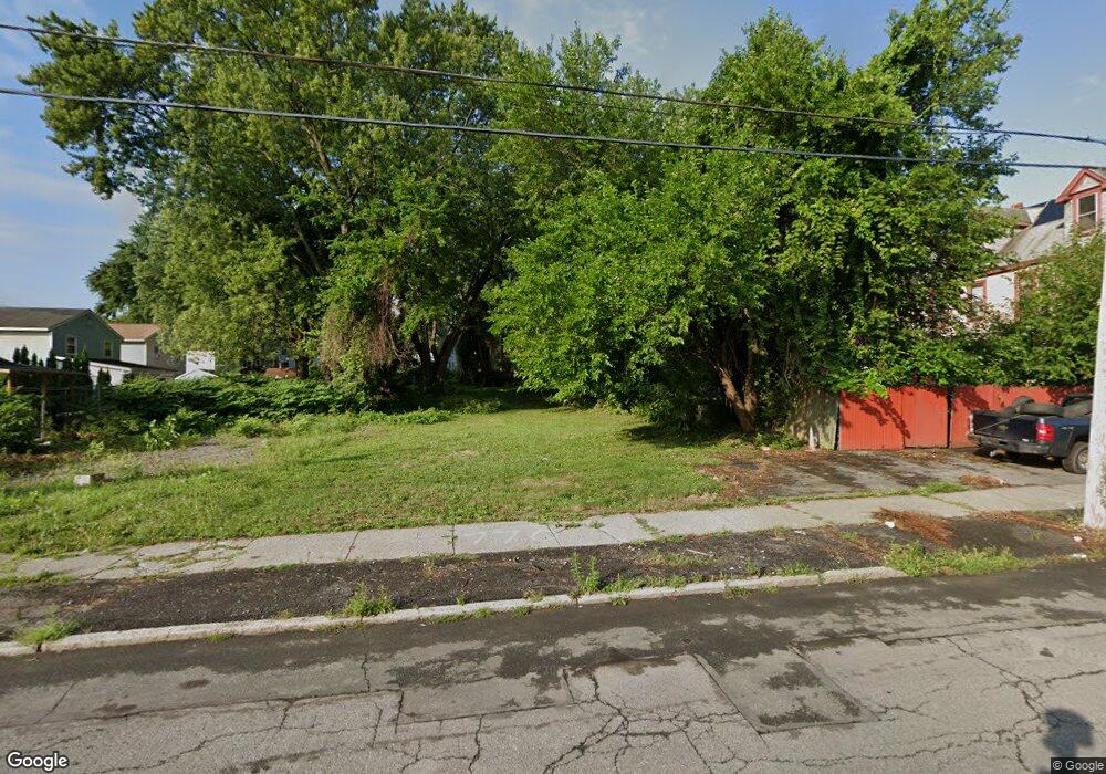
770 Livingston Ave Albany, NY 12206
West End NeighborhoodEstimated Value: $85,000 - $312,000
4
Beds
2
Baths
2,200
Sq Ft
$94/Sq Ft
Est. Value
About This Home
This home is located at 770 Livingston Ave, Albany, NY 12206 and is currently estimated at $207,667, approximately $94 per square foot. 770 Livingston Ave is a home located in Albany County with nearby schools including Pine Hills Elementary School, Stephen And Harriet Myers Middle School, and Albany High School.
Ownership History
Date
Name
Owned For
Owner Type
Purchase Details
Closed on
Mar 4, 2020
Sold by
Albany County Land Bank Corporation
Bought by
Kola Savitry
Current Estimated Value
Purchase Details
Closed on
Mar 29, 2019
Sold by
County Of Albany
Bought by
Albany County Land Bank Corporation
Purchase Details
Closed on
Jul 12, 2006
Sold by
Secretary Of Housing & Urban Development
Bought by
Hh & G Corporation
Purchase Details
Closed on
Mar 28, 2005
Create a Home Valuation Report for This Property
The Home Valuation Report is an in-depth analysis detailing your home's value as well as a comparison with similar homes in the area
Home Values in the Area
Average Home Value in this Area
Purchase History
| Date | Buyer | Sale Price | Title Company |
|---|---|---|---|
| Kola Savitry | $2,000 | None Available | |
| Albany County Land Bank Corporation | -- | None Available | |
| Hh & G Corporation | $20,000 | First American Title Inuranc | |
| -- | $73,562 | -- |
Source: Public Records
Tax History Compared to Growth
Tax History
| Year | Tax Paid | Tax Assessment Tax Assessment Total Assessment is a certain percentage of the fair market value that is determined by local assessors to be the total taxable value of land and additions on the property. | Land | Improvement |
|---|---|---|---|---|
| 2024 | $306 | $12,000 | $12,000 | $0 |
| 2023 | $225 | $5,700 | $5,700 | $0 |
| 2022 | $220 | $5,700 | $5,700 | $0 |
| 2021 | $219 | $5,700 | $5,700 | $0 |
| 2020 | $134 | $5,700 | $5,700 | $0 |
| 2019 | $1,241 | $5,700 | $5,700 | $0 |
| 2018 | $217 | $5,700 | $5,700 | $0 |
| 2017 | $128 | $5,700 | $5,700 | $0 |
| 2016 | $904 | $5,700 | $5,700 | $0 |
| 2015 | $19,228 | $20,000 | $1,500 | $18,500 |
| 2014 | -- | $20,000 | $1,500 | $18,500 |
Source: Public Records
Map
Nearby Homes
- 50 N Manning Blvd
- 37-39 N Manning Blvd
- 41-43 N Manning Blvd
- 15 N Manning Blvd
- 38 Garfield Place
- 9 N Manning Blvd
- 53 N Manning Blvd
- 857 Livingston Ave
- 40 Garfield Place
- 21 Watervliet Ave
- 596 3rd St
- 587 3rd St
- 3 Manning Square
- 30 Willow St
- 630 Livingston Ave
- 596 Livingston Ave
- 464 3rd St
- 107 Kent St
- 41 Ontario St
- 87 Kent St
- 768 Livingston Ave
- 778 Livingston Ave
- 28 Rawson St
- 24 Rawson St
- 24 Rawson St Unit Floor 1
- 24 Rawson St Unit 1st floor
- 780 Livingston Ave
- 771 Livingston Ave
- 22 Rawson St
- 773 Livingston Ave
- 775 Livingston Ave
- 777 Livingston Ave
- 782 Livingston Ave Unit 2
- 782 Livingston Ave
- 767 Livingston Ave
- 20 Rawson St
- 763 Livingston Ave
- 779 Livingston Ave
- 761 Livingston Ave
- 781 Livingston Ave