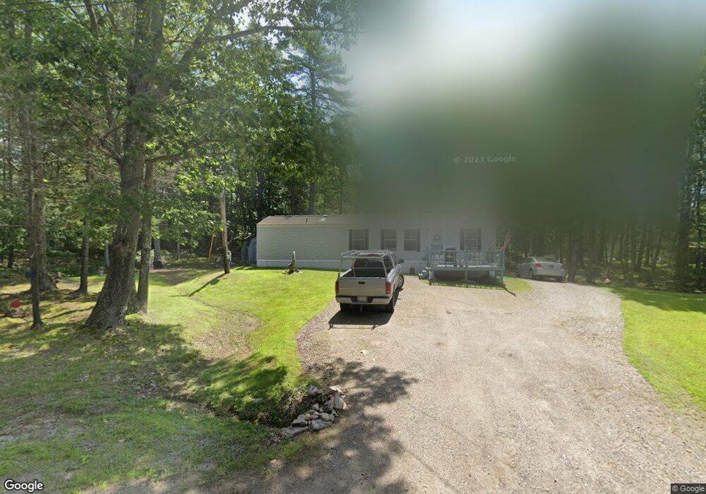
770 Main Rd Westport Island, ME 04578
Estimated Value: $304,281 - $465,000
1
Bed
--
Bath
1,028
Sq Ft
$405/Sq Ft
Est. Value
About This Home
This home is located at 770 Main Rd, Westport Island, ME 04578 and is currently estimated at $416,820, approximately $405 per square foot. 770 Main Rd is a home located in Lincoln County.
Ownership History
Date
Name
Owned For
Owner Type
Purchase Details
Closed on
Jan 28, 2015
Sold by
Cromwell Larry S
Bought by
Mckinney Jon E and Mckinney Mary L
Current Estimated Value
Home Financials for this Owner
Home Financials are based on the most recent Mortgage that was taken out on this home.
Original Mortgage
$94,000
Outstanding Balance
$71,710
Interest Rate
3.81%
Mortgage Type
Commercial
Estimated Equity
$345,110
Create a Home Valuation Report for This Property
The Home Valuation Report is an in-depth analysis detailing your home's value as well as a comparison with similar homes in the area
Home Values in the Area
Average Home Value in this Area
Purchase History
| Date | Buyer | Sale Price | Title Company |
|---|---|---|---|
| Mckinney Jon E | -- | -- | |
| Mckinney Jon E | -- | -- | |
| Mckinney Jon E | -- | -- |
Source: Public Records
Mortgage History
| Date | Status | Borrower | Loan Amount |
|---|---|---|---|
| Open | Mckinney Jon E | $94,000 | |
| Closed | Mckinney Jon E | $94,000 |
Source: Public Records
Tax History Compared to Growth
Tax History
| Year | Tax Paid | Tax Assessment Tax Assessment Total Assessment is a certain percentage of the fair market value that is determined by local assessors to be the total taxable value of land and additions on the property. | Land | Improvement |
|---|---|---|---|---|
| 2024 | $1,459 | $197,200 | $100,650 | $96,550 |
| 2023 | $1,121 | $171,210 | $74,660 | $96,550 |
| 2022 | $1,165 | $140,336 | $61,197 | $79,139 |
| 2021 | $1,109 | $140,336 | $61,197 | $79,139 |
| 2020 | $1,137 | $140,336 | $61,197 | $79,139 |
| 2019 | $1,048 | $140,336 | $61,197 | $79,139 |
| 2018 | $926 | $140,336 | $61,197 | $79,139 |
| 2016 | $1,010 | $140,336 | $61,197 | $79,139 |
| 2014 | $1,329 | $176,900 | $0 | $0 |
| 2013 | $1,371 | $176,900 | $74,710 | $102,190 |
Source: Public Records
Map
Nearby Homes
- 0 Maine 144
- 13 Porcupine Ln
- 19 Riverside Ave
- M4 L12.30B McCarty Cove Rd
- 44 Stone Point Ln
- 15 Lewis Dr
- 30 Taylor Rd
- 27 Doggett Rd
- 712 Back River Rd
- 17 Lester Rd
- 18 High Head Rd
- 23 Sunny Acres Ln
- 576 Back River Rd
- 2 Ready Point Rd
- 91 Tree Farm Dr
- Lot 1 Sanders Rd
- Lot 4 Fawn Meadow Dr
- 4 Fawn Meadow Dr
- Lot 7 Moose Way
- Lot 9 Fawn Meadow Dr
- 784 Main Rd
- 0 Ridge View Ln Unit 182690
- 000 Ridge View Ln
- 00 Ridge View Ln
- 0 Ridge View Ln Unit 1024531
- 760 Main
- 27 Main Rd
- 58 Ridgeview Ln
- 8 Ridge View Ln
- Lot 25.15 Ridge View Ln
- Lot 25.14 Ridge View Ln
- 792 Main Rd
- 791 Main Rd
- 781 Main Rd
- 42 Bakers Rd
- 800 Main Rd
- 15 Bakers Rd
- 0 Spruce Ln Unit 791091
- 0 Spruce Ln Unit 776131
- 0 Spruce Ln Unit 776140