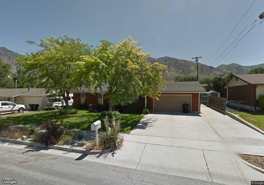
770 N 250 W Brigham City, UT 84302
Estimated Value: $266,000 - $278,702
--
Bed
--
Bath
775
Sq Ft
$352/Sq Ft
Est. Value
About This Home
This home is located at 770 N 250 W, Brigham City, UT 84302 and is currently estimated at $272,426, approximately $351 per square foot. 770 N 250 W is a home located in Box Elder County with nearby schools including Discovery School, Box Elder Middle School, and Adele C. Young Intermediate School.
Ownership History
Date
Name
Owned For
Owner Type
Purchase Details
Closed on
Nov 19, 2017
Sold by
County Of Box Elder
Bought by
Price Douglas W and Price Kathy
Current Estimated Value
Home Financials for this Owner
Home Financials are based on the most recent Mortgage that was taken out on this home.
Original Mortgage
$99,920
Outstanding Balance
$83,728
Interest Rate
3.85%
Mortgage Type
New Conventional
Estimated Equity
$188,698
Purchase Details
Closed on
Apr 29, 2015
Sold by
Tolman Gerald H and Tolman Bonnie T
Bought by
Crossman Casey
Home Financials for this Owner
Home Financials are based on the most recent Mortgage that was taken out on this home.
Original Mortgage
$53,200
Interest Rate
3.73%
Mortgage Type
New Conventional
Purchase Details
Closed on
Nov 14, 2007
Sold by
Tingy Richard
Bought by
Tolman Geeral H and Tolman Bonnie T
Create a Home Valuation Report for This Property
The Home Valuation Report is an in-depth analysis detailing your home's value as well as a comparison with similar homes in the area
Home Values in the Area
Average Home Value in this Area
Purchase History
| Date | Buyer | Sale Price | Title Company |
|---|---|---|---|
| Price Douglas W | -- | None Available | |
| Crossman Casey | -- | Phillips Hansen Land Title C | |
| Tolman Geeral H | -- | None Available |
Source: Public Records
Mortgage History
| Date | Status | Borrower | Loan Amount |
|---|---|---|---|
| Open | Price Douglas W | $99,920 | |
| Previous Owner | Crossman Casey | $53,200 |
Source: Public Records
Tax History Compared to Growth
Tax History
| Year | Tax Paid | Tax Assessment Tax Assessment Total Assessment is a certain percentage of the fair market value that is determined by local assessors to be the total taxable value of land and additions on the property. | Land | Improvement |
|---|---|---|---|---|
| 2025 | $1,090 | $216,586 | $103,250 | $113,336 |
| 2024 | $1,090 | $209,866 | $98,250 | $111,616 |
| 2023 | $1,069 | $210,660 | $93,250 | $117,410 |
| 2022 | $982 | $179,999 | $40,000 | $139,999 |
| 2021 | $811 | $118,809 | $40,000 | $78,809 |
| 2020 | $731 | $118,809 | $40,000 | $78,809 |
| 2019 | $698 | $60,359 | $22,000 | $38,359 |
| 2018 | $644 | $55,355 | $22,000 | $33,355 |
| 2017 | $539 | $80,142 | $16,500 | $50,142 |
| 2016 | $568 | $42,765 | $16,500 | $26,265 |
| 2015 | $541 | $40,377 | $16,500 | $23,877 |
| 2014 | $541 | $39,240 | $16,500 | $22,740 |
| 2013 | -- | $39,240 | $16,500 | $22,740 |
Source: Public Records
Map
Nearby Homes
- 262 W 800 N
- 1422 N 250 W Unit 59
- 760 N Main St
- 787 N 500 W
- 81 W 925 N
- 93 W 925 N
- Saddlewood Plan at North Point - Brigham City
- Westminster Plan at North Point - Brigham City
- Sitka Plan at North Point - Brigham City (Townhomes)
- Stonebrook Plan at North Point - Brigham City
- Greystone Plan at North Point - Brigham City
- Madison Plan at North Point - Brigham City
- 221 W 925 N Unit H46
- 247 W 925 N Unit I49
- 243 W 925 N Unit I48
- 259 W 925 N Unit I52
- 271 W 925 N Unit I55
- 190 W 925 N Unit M70
- 335 W 950 N Unit 9
- 96 W 950 N Unit 2