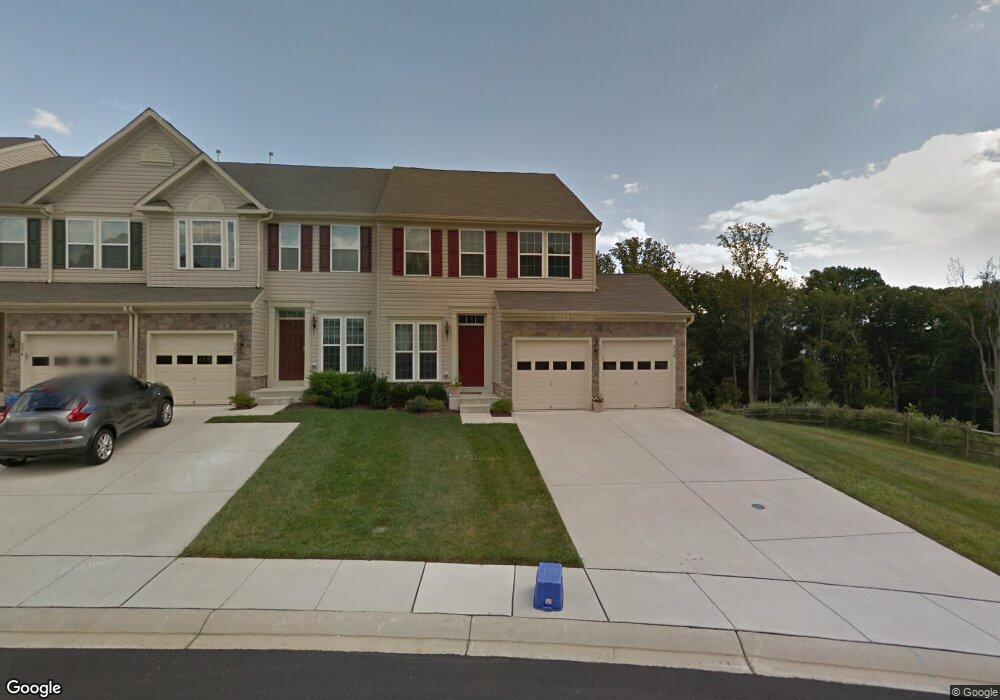
770 Perthshire Place Abingdon, MD 21009
Estimated Value: $377,598 - $509,000
--
Bed
2
Baths
1,792
Sq Ft
$240/Sq Ft
Est. Value
About This Home
This home is located at 770 Perthshire Place, Abingdon, MD 21009 and is currently estimated at $429,900, approximately $239 per square foot. 770 Perthshire Place is a home located in Harford County with nearby schools including Emmorton Elementary School, Bel Air Middle School, and Bel Air High School.
Ownership History
Date
Name
Owned For
Owner Type
Purchase Details
Closed on
Apr 3, 2024
Sold by
Carlon Martha D
Bought by
Carlon Martha D and Carlon Joshua Sergey
Current Estimated Value
Purchase Details
Closed on
Dec 21, 2010
Sold by
Nvr Inc
Bought by
Carlon Martha D
Purchase Details
Closed on
Nov 8, 2010
Sold by
Nvr Inc
Bought by
Nvr Inc
Purchase Details
Closed on
Sep 22, 2010
Sold by
Esc Monmouth Meadows Lc
Bought by
Nvr Inc
Create a Home Valuation Report for This Property
The Home Valuation Report is an in-depth analysis detailing your home's value as well as a comparison with similar homes in the area
Home Values in the Area
Average Home Value in this Area
Purchase History
| Date | Buyer | Sale Price | Title Company |
|---|---|---|---|
| Carlon Martha D | -- | None Listed On Document | |
| Carlon Martha D | -- | None Listed On Document | |
| Carlon Martha D | $277,940 | -- | |
| Nvr Inc | -- | -- | |
| Nvr Inc | $450,000 | -- |
Source: Public Records
Mortgage History
| Date | Status | Borrower | Loan Amount |
|---|---|---|---|
| Closed | Carlon Martha D | -- |
Source: Public Records
Tax History Compared to Growth
Tax History
| Year | Tax Paid | Tax Assessment Tax Assessment Total Assessment is a certain percentage of the fair market value that is determined by local assessors to be the total taxable value of land and additions on the property. | Land | Improvement |
|---|---|---|---|---|
| 2025 | $3,220 | $333,433 | $0 | $0 |
| 2024 | $3,220 | $306,767 | $0 | $0 |
| 2023 | $3,017 | $280,100 | $85,000 | $195,100 |
| 2022 | $3,017 | $276,833 | $0 | $0 |
| 2021 | $9,203 | $273,567 | $0 | $0 |
| 2020 | $3,119 | $270,300 | $85,000 | $185,300 |
| 2019 | $140 | $266,633 | $0 | $0 |
| 2018 | $3,035 | $262,967 | $0 | $0 |
| 2017 | $2,965 | $259,300 | $0 | $0 |
| 2016 | $140 | $259,300 | $0 | $0 |
| 2015 | $3,110 | $259,300 | $0 | $0 |
| 2014 | $3,110 | $260,200 | $0 | $0 |
Source: Public Records
Map
Nearby Homes
- 2913 Islay Ct
- 400 Cahill Rd
- 300 Lothian Way Unit 202
- 613 Berwick Ct
- 582 Doefield Ct
- 2216 Palustris Ln
- 2154 Kyle Green Rd
- 431 Deer Hill Cir
- 2314 Kateland Ct
- 2300 Arthurs Woods Dr
- 2344 Kateland Ct
- 3100 Ashton Ct
- 3117 Freestone Ct
- 2815 Lanarkshire Way
- 0 W Wheel Rd Unit MDHR2045912
- 342 Overlea Place
- Parkland Plan at Bell's Tower - Bell's Tower
- 3114 Tipton Way
- 329 Sunray Ct
- 2310 Bell's Tower Ct Unit 5
- 778 Perthshire Place Unit 40
- 2946 Lomond Place
- 2946 Lomond Place Unit 97
- 765 Perthshire Place
- 763 Perthshire Place
- 780 Perthshire Place
- 2942 Lomond Place Unit 95
- 2942 Lomond Place
- 761 Perthshire Place
- 2940 Lomond Place Unit 94
- 782 Perthshire Place Unit 42
- 759 Perthshire Place
- 2938 Lomond Place
- 2947 Lomond Place
- 757 Perthshire Place
- 766 Perthshire Place Unit 34
- 2936 Lomond Place
- 2936 Lomond Place
- 2945 Lomond Place
- 768 Perthshire Place