Estimated Value: $2,026,000 - $2,318,000
3
Beds
4
Baths
2,439
Sq Ft
$916/Sq Ft
Est. Value
About This Home
This home is located at 770 Potato Patch Dr Unit 8, Vail, CO 81657 and is currently estimated at $2,235,213, approximately $916 per square foot. 770 Potato Patch Dr Unit 8 is a home located in Eagle County with nearby schools including Red Sandstone Elementary School and Battle Mountain High School.
Ownership History
Date
Name
Owned For
Owner Type
Purchase Details
Closed on
Jun 5, 2025
Sold by
Ruth C Crocker Trust
Bought by
Tasset Tiffany Nicole and Mahler Bryan Scott
Current Estimated Value
Purchase Details
Closed on
Apr 3, 2000
Sold by
Beard Philip L and Beard Mary
Bought by
Ruth C Crocker Trust
Purchase Details
Closed on
Aug 15, 1997
Sold by
Kelce James Edward
Bought by
Beard Philip L and Beard Mary
Purchase Details
Closed on
Aug 4, 1997
Sold by
Kelce Martha Finnes
Bought by
Kelce James Edward
Create a Home Valuation Report for This Property
The Home Valuation Report is an in-depth analysis detailing your home's value as well as a comparison with similar homes in the area
Home Values in the Area
Average Home Value in this Area
Purchase History
| Date | Buyer | Sale Price | Title Company |
|---|---|---|---|
| Tasset Tiffany Nicole | $2,200,000 | Land Title | |
| Ruth C Crocker Trust | $525,000 | Stewart Title | |
| Beard Philip L | $420,000 | -- | |
| Kelce James Edward | -- | -- |
Source: Public Records
Tax History
| Year | Tax Paid | Tax Assessment Tax Assessment Total Assessment is a certain percentage of the fair market value that is determined by local assessors to be the total taxable value of land and additions on the property. | Land | Improvement |
|---|---|---|---|---|
| 2024 | $6,950 | $146,130 | -- | $146,130 |
| 2023 | $6,950 | $146,130 | $0 | $146,130 |
| 2022 | $5,268 | $102,510 | $0 | $102,510 |
| 2021 | $5,424 | $105,460 | $0 | $105,460 |
| 2020 | $4,308 | $84,890 | $0 | $84,890 |
| 2019 | $4,323 | $84,890 | $0 | $84,890 |
| 2018 | $4,332 | $83,380 | $0 | $83,380 |
| 2017 | $4,311 | $83,380 | $0 | $83,380 |
| 2016 | $3,411 | $66,710 | $0 | $66,710 |
Source: Public Records
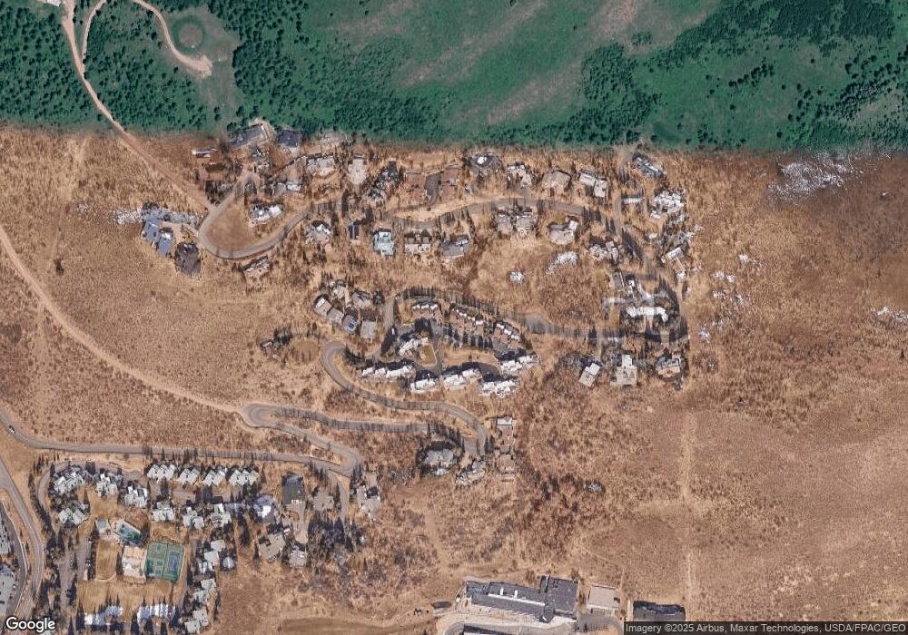
Map
Nearby Homes
- 770 Potato Patch Dr Unit 14
- 775 Potato Patch Dr Unit E
- 780 Potato Patch Dr
- 605 N Frontage Rd W Unit 14A
- 625 N Frontage Rd W Unit 22
- 548 S Frontage Rd E Unit 301
- 548 S Frontage Rd W Unit 201
- 508 E Lionshead Cir Unit 604-49
- 508 E Lionshead Cir Unit 310/week 8
- 508 E Lionshead Cir Unit 214
- 508 E Lionshead Cir Unit 310/Week 23
- 508 E Lionshead Cir Unit 105
- 508 E Lionshead Cir Unit 503
- 508 E Lionshead Cir Unit 604/Week 9
- 508 E Lionshead Cir Unit 211/Weeks 15/16/17
- 508 E Lionshead Cir Unit 312/Weeks 8/9/10
- 508 E Lionshead Cir Unit 116-07
- 508 E Lionshead Cir Unit 211/weeks 8 & 9
- 508 E Lionshead Cir Unit 312/Weeks 38 & 39
- 701 W Lionshead Cir Unit E307
- 770 Potato Patch Dr
- 770 Potato Patch Dr Unit C
- 770 Potato Patch Dr Unit B
- 770 Potato Patch Dr Unit A
- 770 Potato Patch Dr Unit K
- 770 Potato Patch Dr Unit J
- 770 Potato Patch Dr Unit H
- 770 Potato Patch Dr Unit G
- 770 Potato Patch Dr Unit F
- 770 Potato Patch Dr Unit E
- 770 Potato Patch Dr Unit D
- 770 Potato Patch Dr Unit 17
- 770 Potato Patch Dr Unit 25
- 770 Potato Patch Dr Unit 15
- 770 Potato Patch Dr Unit 13E
- 770 Potato Patch Dr Unit 12
- 770 Potato Patch Dr Unit 11
- 770 Potato Patch Dr Unit 10
- 770 Potato Patch Dr Unit 9
- 770 Potato Patch Dr Unit 7