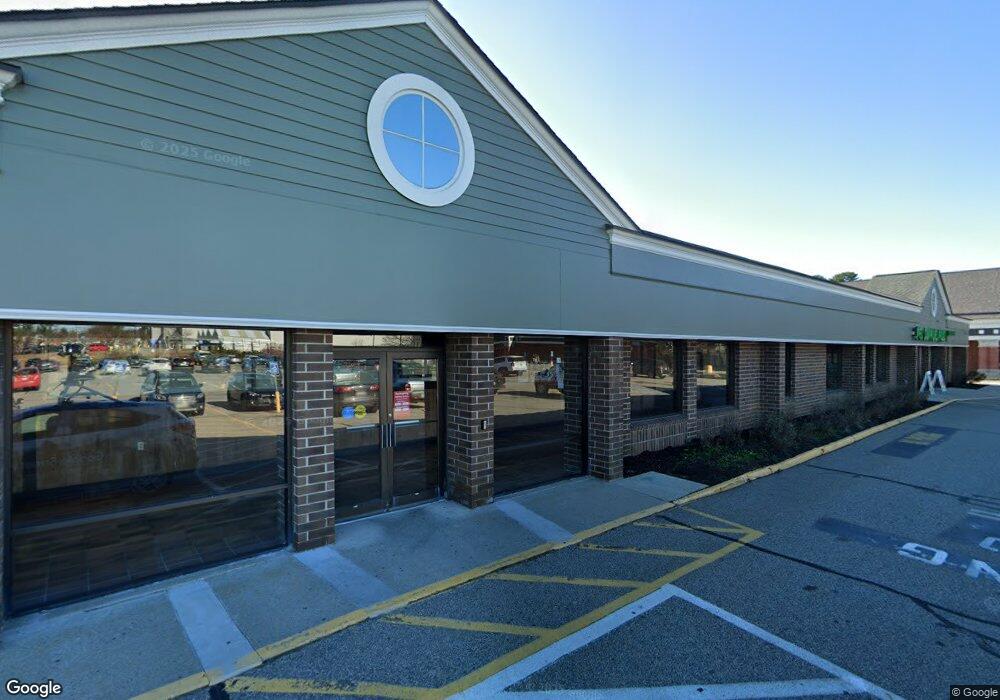
770 Roosevelt Trail Windham, ME 04062
--
Bed
--
Bath
--
Sq Ft
9.07
Acres
About This Home
This home is located at 770 Roosevelt Trail, Windham, ME 04062. 770 Roosevelt Trail is a home located in Cumberland County with nearby schools including Manchester School, Windham Primary School, and Windham Middle School.
Ownership History
Date
Name
Owned For
Owner Type
Purchase Details
Closed on
Jun 29, 2024
Sold by
Windham Village Apt Llc
Bought by
Windham Town Of
Purchase Details
Closed on
Jun 18, 2021
Sold by
Sp Waterville Owner Llc
Bought by
B33 Windham 2 Llc
Home Financials for this Owner
Home Financials are based on the most recent Mortgage that was taken out on this home.
Original Mortgage
$7,955,000
Interest Rate
2.9%
Mortgage Type
Purchase Money Mortgage
Purchase Details
Closed on
Jul 11, 2017
Sold by
Wp Windham Associates Llc
Bought by
Sp Windham Owner Llc
Create a Home Valuation Report for This Property
The Home Valuation Report is an in-depth analysis detailing your home's value as well as a comparison with similar homes in the area
Home Values in the Area
Average Home Value in this Area
Purchase History
| Date | Buyer | Sale Price | Title Company |
|---|---|---|---|
| Windham Town Of | -- | None Available | |
| Windham Town Of | -- | None Available | |
| B33 Windham 2 Llc | -- | None Available | |
| B33 Windham 2 Llc | -- | None Available | |
| Sp Windham Owner Llc | -- | -- | |
| Sp Windham Owner Llc | -- | -- | |
| Sp Windham Owner Llc | -- | -- |
Source: Public Records
Mortgage History
| Date | Status | Borrower | Loan Amount |
|---|---|---|---|
| Previous Owner | B33 Windham 2 Llc | $7,955,000 |
Source: Public Records
Tax History Compared to Growth
Tax History
| Year | Tax Paid | Tax Assessment Tax Assessment Total Assessment is a certain percentage of the fair market value that is determined by local assessors to be the total taxable value of land and additions on the property. | Land | Improvement |
|---|---|---|---|---|
| 2024 | $133,246 | $12,829,100 | $3,827,600 | $9,001,500 |
| 2023 | $133,246 | $11,897,000 | $3,479,700 | $8,417,300 |
| 2022 | $136,532 | $11,759,900 | $3,479,700 | $8,280,200 |
| 2021 | $147,882 | $11,736,700 | $3,479,700 | $8,257,000 |
| 2020 | $177,435 | $11,829,000 | $3,479,700 | $8,349,300 |
| 2019 | $173,177 | $11,829,000 | $3,479,700 | $8,349,300 |
| 2018 | $179,564 | $11,829,000 | $3,479,700 | $8,349,300 |
| 2017 | $192,239 | $11,700,500 | $2,794,000 | $8,906,500 |
| 2016 | $183,698 | $11,700,500 | $2,794,000 | $8,906,500 |
| 2015 | $177,263 | $11,700,500 | $2,794,000 | $8,906,500 |
| 2014 | $171,646 | $11,700,500 | $2,794,000 | $8,906,500 |
| 2013 | -- | $11,700,500 | $2,794,000 | $8,906,500 |
Source: Public Records
Map
Nearby Homes
- 10 Arlene Ln
- 34 Robin Ln
- Lot #1 Chamberlain Dr
- 14 Sabbady Point Rd
- 0 Turning Leaf Dr Unit 1640377
- 103 Basin Rd
- 55 Page Rd
- 3 Pride Ln
- 5 Pride Ln
- 36 Whites Bridge Rd Unit 8
- Lot 14 Aerie Dr
- 16 Brookhaven Dr
- 5 Stagecoach Ln
- 3 Peavey Ave
- 00 Dusty Rhoades Ln
- 3 Shamrock Ln
- 1 Chipmunk Dr
- 219 Tandberg Trail
- 80 Sky Dr
- 4 Paxton Way Unit 4
- 52 Tandberg Trail
- 49 Tandberg Trail
- 764 Roosevelt Trail
- 762 Roosevelt Trail
- 43 Tandberg Trail
- 53 Tandberg Trail
- 4 Lamb St
- 41 Tandberg Trail
- 55 Tandberg Trail
- 13 Basin Rd
- 57 Tandberg Trail
- 750 Roosevelt Trail
- 9 Lamb St
- 11 Lamb St
- 13 Northwood Dr
- 8 Lamb St
- 17 Basin Rd
- 5 Basin Rd
- 10 Lamb St
- 786 Roosevelt Trail