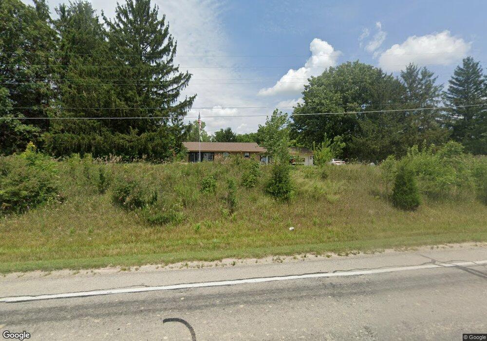
770 W Markle Rd Huntington, IN 46750
Estimated Value: $248,000 - $377,915
2
Beds
2
Baths
1,764
Sq Ft
$170/Sq Ft
Est. Value
About This Home
This home is located at 770 W Markle Rd, Huntington, IN 46750 and is currently estimated at $300,229, approximately $170 per square foot. 770 W Markle Rd is a home located in Huntington County with nearby schools including Lincoln Elementary School, Crestview Middle School, and Huntington North High School.
Ownership History
Date
Name
Owned For
Owner Type
Purchase Details
Closed on
May 16, 2013
Sold by
Carney Tom and Keefer Joan
Bought by
Vanover Curtis R and Vanover Lori R
Current Estimated Value
Home Financials for this Owner
Home Financials are based on the most recent Mortgage that was taken out on this home.
Original Mortgage
$76,000
Outstanding Balance
$53,951
Interest Rate
3.52%
Mortgage Type
New Conventional
Estimated Equity
$246,278
Create a Home Valuation Report for This Property
The Home Valuation Report is an in-depth analysis detailing your home's value as well as a comparison with similar homes in the area
Home Values in the Area
Average Home Value in this Area
Purchase History
| Date | Buyer | Sale Price | Title Company |
|---|---|---|---|
| Vanover Curtis R | -- | None Available |
Source: Public Records
Mortgage History
| Date | Status | Borrower | Loan Amount |
|---|---|---|---|
| Open | Vanover Curtis R | $76,000 |
Source: Public Records
Tax History Compared to Growth
Tax History
| Year | Tax Paid | Tax Assessment Tax Assessment Total Assessment is a certain percentage of the fair market value that is determined by local assessors to be the total taxable value of land and additions on the property. | Land | Improvement |
|---|---|---|---|---|
| 2024 | $2,366 | $274,100 | $85,900 | $188,200 |
| 2023 | $2,194 | $274,200 | $85,900 | $188,300 |
| 2022 | $2,781 | $264,900 | $85,900 | $179,000 |
| 2021 | $2,295 | $210,900 | $65,300 | $145,600 |
| 2020 | $2,128 | $197,700 | $65,300 | $132,400 |
| 2019 | $2,075 | $188,100 | $65,300 | $122,800 |
| 2018 | $2,176 | $188,100 | $65,300 | $122,800 |
| 2017 | $1,746 | $165,800 | $62,800 | $103,000 |
| 2016 | $1,463 | $160,500 | $62,800 | $97,700 |
| 2014 | $1,350 | $157,100 | $62,800 | $94,300 |
| 2013 | $1,350 | $155,900 | $62,800 | $93,100 |
Source: Public Records
Map
Nearby Homes
- 1251 Stintson Dr
- 1264 Stintson Dr Unit 2
- 156 W Markle Rd
- 2874 N 035 W
- 428 S Broadway St
- 553 S Briant St
- 637 Mayne St
- 1535 Henry St
- 614 Mayne St
- 1421 Charles St
- 244 Grayston Ave
- 603 Whitelock St
- 308 Jackson St
- 18 Shamrock Ct
- 473 Swan St
- 1901 Kocher St
- 231 Cory St
- 8 Topaz Dr
- 8 Turquoise St
- 1102 Drover St
- tbd W Markle Rd
- 892 W Markle Rd
- 1231 Stintson Dr Unit 2
- 1275 Fairchild Ct Unit 23
- 1275 Fairchild Ct
- 1242 Stintson Dr
- 900 W Markle Rd
- 1251 Stintson Dr Unit 3
- 1268 Fairchild Ct
- 654 W Markle Rd
- 1265 Fairchild Ct
- 1264 Stintson Dr Unit 21
- 1240 Fairchild Ct
- 606 W Markle Rd
- 0 W Markle Rd
- 592 W Markle Rd
- 1277 Stintson Dr
- 1277 Stintson Dr Unit 4
- 1245 Fairchild Ct
- 1225 N Warren Rd