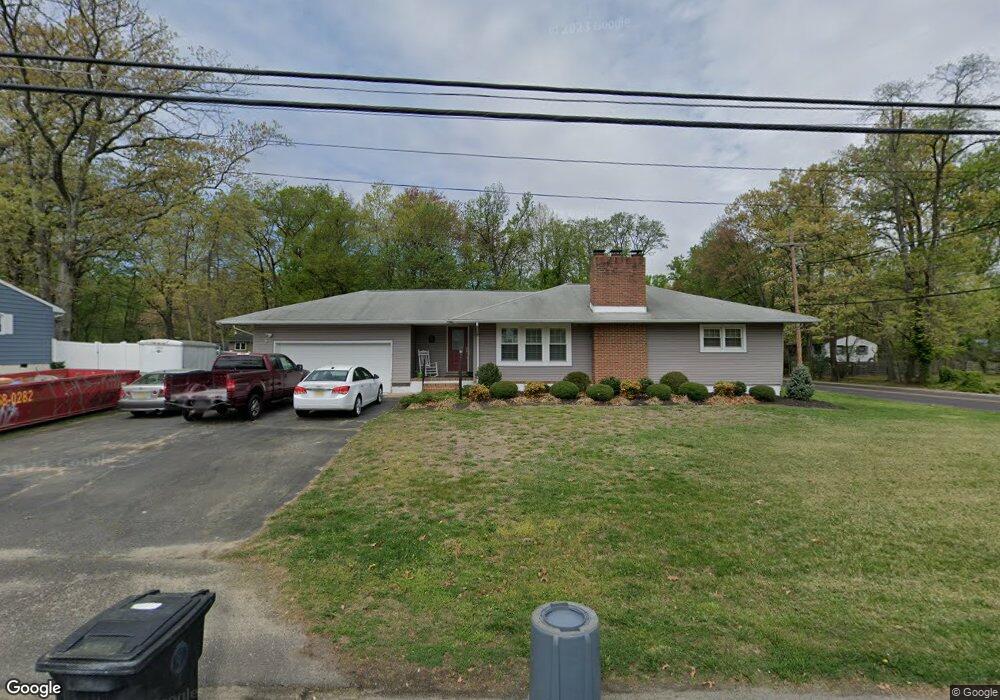
770 Woodland Ave Westville, NJ 08093
Deptford Township NeighborhoodEstimated Value: $276,000 - $323,000
3
Beds
1
Bath
1,300
Sq Ft
$226/Sq Ft
Est. Value
About This Home
This home is located at 770 Woodland Ave, Westville, NJ 08093 and is currently estimated at $293,296, approximately $225 per square foot. 770 Woodland Ave is a home located in Gloucester County with nearby schools including Deptford Township High School and Holy Angels Catholic School.
Ownership History
Date
Name
Owned For
Owner Type
Purchase Details
Closed on
Apr 19, 2016
Sold by
Bobo Louis T and Bobo Rita Jayne
Bought by
Esgro Robert and Esgro Gwen
Current Estimated Value
Purchase Details
Closed on
Nov 17, 2014
Sold by
Jones Mary Jane
Bought by
Bobo Louis T and Bobo Rita Jayne
Purchase Details
Closed on
Oct 27, 2006
Sold by
Angeroth Rita
Bought by
Jones May Jane
Create a Home Valuation Report for This Property
The Home Valuation Report is an in-depth analysis detailing your home's value as well as a comparison with similar homes in the area
Home Values in the Area
Average Home Value in this Area
Purchase History
| Date | Buyer | Sale Price | Title Company |
|---|---|---|---|
| Esgro Robert | $62,000 | State Line Abstract Inc | |
| Bobo Louis T | -- | Attorney | |
| Jones May Jane | -- | -- |
Source: Public Records
Tax History Compared to Growth
Tax History
| Year | Tax Paid | Tax Assessment Tax Assessment Total Assessment is a certain percentage of the fair market value that is determined by local assessors to be the total taxable value of land and additions on the property. | Land | Improvement |
|---|---|---|---|---|
| 2025 | $5,664 | $158,000 | $49,600 | $108,400 |
| 2024 | $5,483 | $158,000 | $49,600 | $108,400 |
| 2023 | $5,483 | $158,000 | $49,600 | $108,400 |
| 2022 | $5,443 | $158,000 | $49,600 | $108,400 |
| 2021 | $5,363 | $158,000 | $49,600 | $108,400 |
| 2020 | $5,304 | $158,000 | $49,600 | $108,400 |
| 2019 | $5,203 | $158,000 | $49,600 | $108,400 |
| 2018 | $5,086 | $158,000 | $49,600 | $108,400 |
| 2017 | $4,950 | $158,000 | $49,600 | $108,400 |
| 2016 | $4,849 | $158,000 | $49,600 | $108,400 |
| 2015 | $4,699 | $158,000 | $49,600 | $108,400 |
| 2014 | $4,577 | $158,000 | $49,600 | $108,400 |
Source: Public Records
Map
Nearby Homes
- 761 Carteret Ave
- 787 Tacoma Blvd
- 1093 Delsea Dr
- 715 Winding Way Unit G15
- 615 Lot: 1.01 Carteret
- 416 Winding Way
- 406 Winding Way
- 308 Winding Way Unit C8
- 615 L1.02 Carteret Ave
- 86 Peach St
- 131 Andaloro Way
- 230 Marion Ave
- 1240 Delsea Dr
- 372 Marion Ave
- 58 Fisher Ave
- 17 Peach St
- 17 Magnolia St
- 13 Cordelia Ave
- 433 Trowbridge Ave
- 338 E Red Bank Ave
- 764 Woodland Ave
- 802 Woodland Ave
- 756 Woodland Ave
- 773 Woodland Ave
- 769 Woodland Ave
- 765 Woodland Ave
- 359 Florence Ave
- 808 Woodland Ave
- 801 Woodland Ave
- 761 Woodland Ave
- 752 Woodland Ave
- 805 Woodland Ave
- 755 Woodland Ave
- 748 Woodland Ave
- 809 Woodland Ave
- 383 Florence Ave
- 813 Carteret Ave
- 352 Florence Ave
- 812 Woodland Ave
- 813 Woodland Ave