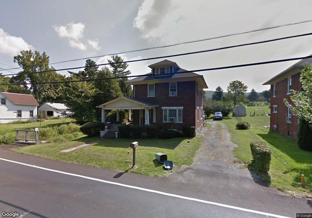
7700 Anthony Hwy Waynesboro, PA 17268
Estimated Value: $131,311 - $258,000
3
Beds
1
Bath
1,498
Sq Ft
$140/Sq Ft
Est. Value
About This Home
This home is located at 7700 Anthony Hwy, Waynesboro, PA 17268 and is currently estimated at $209,828, approximately $140 per square foot. 7700 Anthony Hwy is a home located in Franklin County with nearby schools including Waynesboro Area Senior High School, St. Andrew Catholic School, and Providence School - Pigeon Hill Building.
Ownership History
Date
Name
Owned For
Owner Type
Purchase Details
Closed on
Dec 21, 2011
Sold by
Siegrist Charles E
Bought by
Henicle Alexandar M
Current Estimated Value
Home Financials for this Owner
Home Financials are based on the most recent Mortgage that was taken out on this home.
Original Mortgage
$69,600
Outstanding Balance
$47,565
Interest Rate
3.99%
Mortgage Type
Adjustable Rate Mortgage/ARM
Estimated Equity
$162,263
Create a Home Valuation Report for This Property
The Home Valuation Report is an in-depth analysis detailing your home's value as well as a comparison with similar homes in the area
Home Values in the Area
Average Home Value in this Area
Purchase History
| Date | Buyer | Sale Price | Title Company |
|---|---|---|---|
| Henicle Alexandar M | $87,000 | None Available |
Source: Public Records
Mortgage History
| Date | Status | Borrower | Loan Amount |
|---|---|---|---|
| Open | Henicle Alexandar M | $69,600 |
Source: Public Records
Tax History Compared to Growth
Tax History
| Year | Tax Paid | Tax Assessment Tax Assessment Total Assessment is a certain percentage of the fair market value that is determined by local assessors to be the total taxable value of land and additions on the property. | Land | Improvement |
|---|---|---|---|---|
| 2025 | $1,847 | $12,660 | $820 | $11,840 |
| 2024 | $1,598 | $11,300 | $820 | $10,480 |
| 2023 | $1,554 | $11,300 | $820 | $10,480 |
| 2022 | $1,509 | $11,300 | $820 | $10,480 |
| 2021 | $1,464 | $11,300 | $820 | $10,480 |
| 2020 | $1,464 | $11,300 | $820 | $10,480 |
| 2019 | $1,430 | $11,300 | $820 | $10,480 |
| 2018 | $1,382 | $11,300 | $820 | $10,480 |
| 2017 | $1,351 | $11,300 | $820 | $10,480 |
| 2016 | $324 | $11,300 | $820 | $10,480 |
| 2015 | $302 | $11,300 | $820 | $10,480 |
| 2014 | $302 | $11,300 | $820 | $10,480 |
Source: Public Records
Map
Nearby Homes
- 7468 Anthony Hwy
- 5434 Manheim Rd
- 6159 Orphanage Rd
- 8620 Monns Gap Rd
- 8652 Mormon Church Rd
- 286 Verdier St
- 207 University Dr
- 111 Poplar St
- 6 S Main St
- 8655 Wayne Hwy
- 6456 Wayne Hwy
- 7205 Fairway Dr S
- 6158 Merion Dr
- 7130 St Annes Dr
- 7059 Duck Hook Ln
- 7136 Sandwich Ln
- 7060 Duck Hook Ln
- 7121 Sandwich Ln
- 6337 Medina Ridge Dr
- 0 Unit PAFL2024598
- 7710 Anthony Hwy
- 7680 Anthony Hwy
- 7720 Anthony Hwy
- 7705 Anthony Hwy
- 7670 Anthony Hwy
- 7721 Anthony Hwy
- 7836 Tomstown Rd
- 7662 Anthony Hwy
- 7747 Anthony Hwy
- 7756 Anthony Hwy
- 7640 Anthony Hwy
- 7851 Tomstown Rd
- 7835 Tomstown Rd
- 7866 Tomstown Rd
- 7628 Anthony Hwy
- 7772 Anthony Hwy
- 7803 Tomstown Rd
- 7652 Anthony Hwy
- 7876 Tomstown Rd
- 7783 Anthony Hwy