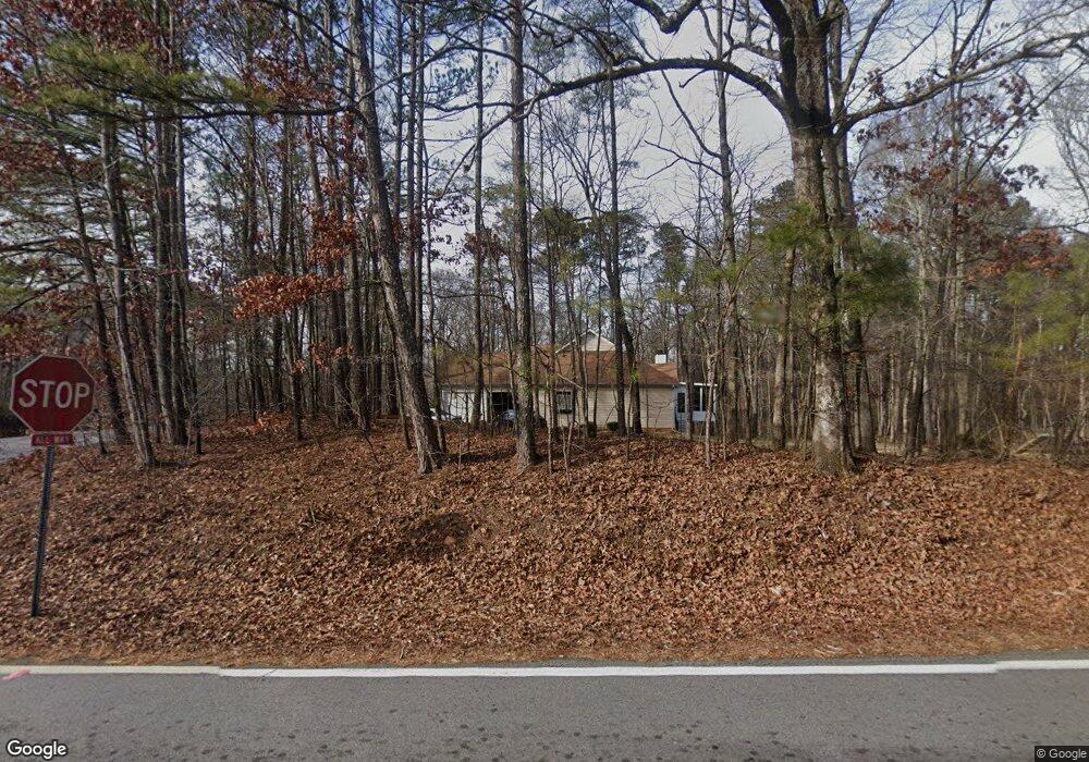
7700 Berea Rd Winston, GA 30187
Bill Arp NeighborhoodEstimated Value: $330,004 - $478,000
3
Beds
2
Baths
2,054
Sq Ft
$194/Sq Ft
Est. Value
About This Home
This home is located at 7700 Berea Rd, Winston, GA 30187 and is currently estimated at $399,501, approximately $194 per square foot. 7700 Berea Rd is a home located in Douglas County with nearby schools including Mason Creek Elementary School, Mason Creek Middle School, and Alexander High School.
Ownership History
Date
Name
Owned For
Owner Type
Purchase Details
Closed on
Mar 19, 1996
Sold by
Morris Robert
Bought by
Fuller John Cindi
Current Estimated Value
Purchase Details
Closed on
Sep 10, 1995
Sold by
Morris Rbt A
Bought by
Fuller John C Cindi H
Create a Home Valuation Report for This Property
The Home Valuation Report is an in-depth analysis detailing your home's value as well as a comparison with similar homes in the area
Home Values in the Area
Average Home Value in this Area
Purchase History
| Date | Buyer | Sale Price | Title Company |
|---|---|---|---|
| Fuller John Cindi | $130,000 | -- | |
| Fuller John C Cindi H | $17,500 | -- |
Source: Public Records
Mortgage History
| Date | Status | Borrower | Loan Amount |
|---|---|---|---|
| Closed | Fuller John C Cindi H | $0 |
Source: Public Records
Tax History
| Year | Tax Paid | Tax Assessment Tax Assessment Total Assessment is a certain percentage of the fair market value that is determined by local assessors to be the total taxable value of land and additions on the property. | Land | Improvement |
|---|---|---|---|---|
| 2025 | $847 | $140,160 | $17,960 | $122,200 |
| 2024 | $847 | $140,160 | $17,960 | $122,200 |
| 2023 | $847 | $140,160 | $17,960 | $122,200 |
| 2022 | $882 | $109,520 | $12,800 | $96,720 |
| 2021 | $2,700 | $92,600 | $12,800 | $79,800 |
| 2020 | $2,751 | $92,600 | $12,800 | $79,800 |
| 2019 | $2,555 | $90,440 | $12,800 | $77,640 |
| 2018 | $2,501 | $87,240 | $12,800 | $74,440 |
| 2017 | $2,303 | $75,880 | $10,280 | $65,600 |
| 2016 | $2,128 | $69,280 | $9,800 | $59,480 |
| 2015 | $1,486 | $48,440 | $9,480 | $38,960 |
| 2014 | $1,500 | $48,000 | $11,320 | $36,680 |
| 2013 | -- | $62,640 | $12,480 | $50,160 |
Source: Public Records
Map
Nearby Homes
- 0 Poole Mill Rd Unit 26498331
- 7537 Berea Rd
- 4360 Pool Rd
- 7448 Berea Rd
- 7387 Milam Rd
- 7346 Banks Mill Rd
- 7350 Banks Mill Rd
- 7849 Ponderosa Trace
- 7465 Rolling Oaks Dr
- 7258 Banks Mill Rd
- 7908 Lambert Rd
- 7946 Lambert Rd
- 0 Hwy 5 Unit 7723488
- 0 Hwy 5 Unit 10652363
- 6957 Mason Creek Rd
- 4067 Mason Creek Rd
- 4462 Highway 5
- 6917 Laurelwood Dr
- 5200 Goldcup Ct
- 5156 Oakdale Ct
- 7680 Berea Rd
- 4745 Pool Mill Rd
- 4580 Pool Rd
- 7665 Berea Rd
- 4581 Pool Rd
- 7617 Berea Rd
- 4615 Pool Rd
- 4513 Pool Rd
- 7611 Berea Rd
- 4450 Pool Rd
- 7765 Berea Rd
- 7765 Berea Rd Unit 7765
- 4634 Pool Rd
- 4473 Pool Rd
- 000 Berea Rd
- 4733 Poole Mill Rd
- 7660 Berea Rd
- 7800 Berea Rd
- 4726 Poole Mill Rd
- 4736 Poole Mill Rd
Your Personal Tour Guide
Ask me questions while you tour the home.