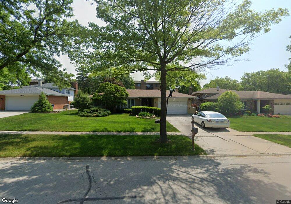
7701 Nantucket Dr Darien, IL 60561
Estimated Value: $444,180 - $520,000
3
Beds
2
Baths
1,872
Sq Ft
$261/Sq Ft
Est. Value
About This Home
This home is located at 7701 Nantucket Dr, Darien, IL 60561 and is currently estimated at $488,795, approximately $261 per square foot. 7701 Nantucket Dr is a home located in DuPage County with nearby schools including Mark Delay School, Lace Elementary School, and Eisenhower Jr High School.
Ownership History
Date
Name
Owned For
Owner Type
Purchase Details
Closed on
Dec 30, 2005
Sold by
Marsala Joseph A and Marsala Angela A
Bought by
Nwakudu Uche O and Nwakudu Ursula H
Current Estimated Value
Home Financials for this Owner
Home Financials are based on the most recent Mortgage that was taken out on this home.
Original Mortgage
$292,000
Outstanding Balance
$168,751
Interest Rate
6.75%
Mortgage Type
Purchase Money Mortgage
Estimated Equity
$320,044
Create a Home Valuation Report for This Property
The Home Valuation Report is an in-depth analysis detailing your home's value as well as a comparison with similar homes in the area
Home Values in the Area
Average Home Value in this Area
Purchase History
| Date | Buyer | Sale Price | Title Company |
|---|---|---|---|
| Nwakudu Uche O | $365,000 | Chicago Title Insurance Comp |
Source: Public Records
Mortgage History
| Date | Status | Borrower | Loan Amount |
|---|---|---|---|
| Open | Nwakudu Uche O | $292,000 |
Source: Public Records
Tax History Compared to Growth
Tax History
| Year | Tax Paid | Tax Assessment Tax Assessment Total Assessment is a certain percentage of the fair market value that is determined by local assessors to be the total taxable value of land and additions on the property. | Land | Improvement |
|---|---|---|---|---|
| 2024 | $8,779 | $144,253 | $53,650 | $90,603 |
| 2023 | $8,457 | $132,610 | $49,320 | $83,290 |
| 2022 | $8,240 | $129,080 | $48,310 | $80,770 |
| 2021 | $7,926 | $127,610 | $47,760 | $79,850 |
| 2020 | $7,820 | $125,080 | $46,810 | $78,270 |
| 2019 | $7,560 | $120,010 | $44,910 | $75,100 |
| 2018 | $7,085 | $113,710 | $44,670 | $69,040 |
| 2017 | $6,831 | $106,680 | $42,960 | $63,720 |
| 2016 | $6,654 | $101,810 | $41,000 | $60,810 |
| 2015 | $6,559 | $95,780 | $38,570 | $57,210 |
| 2014 | $6,720 | $96,670 | $37,500 | $59,170 |
| 2013 | $6,495 | $96,210 | $37,320 | $58,890 |
Source: Public Records
Map
Nearby Homes
- 7525 Nantucket Dr Unit 210
- 7816 Dorchester Ln
- 7502 Farmingdale Dr Unit 206
- 7725 Sawyer Rd
- 709 79th St Unit 403
- 801 79th St Unit 310
- 801 79th St Unit 103
- 7713 Brookhaven Ave
- Lot 1, 2, 3, 4 & 5 Nantucket Dr
- 7930 Grant St
- 7832 Adams St
- 7925 William Dr
- 8144 Sunset Rd
- 8313 Highpoint Cir Unit F
- 1052 Ripple Ridge
- 7730 Virginia Ct
- 321 Janet Ave
- 7715 Virginia Ct
- 7721 Stevens St
- 325 Roger Rd
- 7705 Nantucket Dr
- 7621 Nantucket Dr
- 7709 Nantucket Dr
- 7617 Nantucket Dr
- 7711 Nantucket Dr Unit 2-A
- 7702 Nantucket Dr
- 7706 Nantucket Dr
- 7713 Nantucket Dr
- 7622 Nantucket Dr
- 7613 Nantucket Dr Unit 12
- 7710 Nantucket Dr
- 7618 Nantucket Dr
- 7714 Nantucket Dr
- 7609 Nantucket Dr
- 7614 Nantucket Dr
- 7705 Baker Ct
- 7621 Baker Ct
- 7718 Nantucket Dr
- 7701 Baker Ct
- 7617 Baker Ct