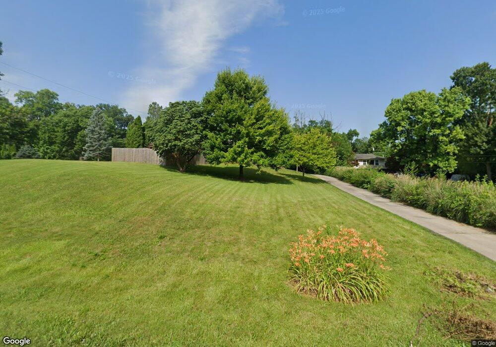
7701 Rockwell Dr Dayton, OH 45414
Estimated Value: $236,000 - $266,256
3
Beds
2
Baths
1,444
Sq Ft
$177/Sq Ft
Est. Value
About This Home
This home is located at 7701 Rockwell Dr, Dayton, OH 45414 and is currently estimated at $256,064, approximately $177 per square foot. 7701 Rockwell Dr is a home located in Montgomery County with nearby schools including Demmitt Elementary School, Smith Middle School, and Butler High School.
Ownership History
Date
Name
Owned For
Owner Type
Purchase Details
Closed on
Jan 29, 2016
Sold by
Holmes Lori W and Wilson Lori L
Bought by
Hartley Aubree D
Current Estimated Value
Home Financials for this Owner
Home Financials are based on the most recent Mortgage that was taken out on this home.
Original Mortgage
$119,790
Outstanding Balance
$93,936
Interest Rate
3.62%
Mortgage Type
FHA
Estimated Equity
$162,128
Purchase Details
Closed on
Jan 19, 1996
Sold by
Troiano Tony J
Bought by
Wilson Lori L
Purchase Details
Closed on
Nov 18, 1993
Sold by
Beach Marsha Foreman
Bought by
Troiano Tony J
Create a Home Valuation Report for This Property
The Home Valuation Report is an in-depth analysis detailing your home's value as well as a comparison with similar homes in the area
Home Values in the Area
Average Home Value in this Area
Purchase History
| Date | Buyer | Sale Price | Title Company |
|---|---|---|---|
| Hartley Aubree D | $122,000 | Partners Land Title Agency | |
| Wilson Lori L | $99,800 | Landmark Title | |
| Troiano Tony J | -- | -- |
Source: Public Records
Mortgage History
| Date | Status | Borrower | Loan Amount |
|---|---|---|---|
| Open | Hartley Aubree D | $119,790 |
Source: Public Records
Tax History Compared to Growth
Tax History
| Year | Tax Paid | Tax Assessment Tax Assessment Total Assessment is a certain percentage of the fair market value that is determined by local assessors to be the total taxable value of land and additions on the property. | Land | Improvement |
|---|---|---|---|---|
| 2024 | $3,958 | $64,220 | $20,050 | $44,170 |
| 2023 | $3,958 | $64,220 | $20,050 | $44,170 |
| 2022 | $3,500 | $45,220 | $14,120 | $31,100 |
| 2021 | $3,501 | $45,220 | $14,120 | $31,100 |
| 2020 | $3,494 | $45,220 | $14,120 | $31,100 |
| 2019 | $4,066 | $48,070 | $12,710 | $35,360 |
| 2018 | $4,073 | $48,070 | $12,710 | $35,360 |
| 2017 | $4,046 | $48,070 | $12,710 | $35,360 |
| 2016 | $4,127 | $48,120 | $14,120 | $34,000 |
| 2015 | $3,914 | $48,120 | $14,120 | $34,000 |
| 2014 | $3,914 | $48,120 | $14,120 | $34,000 |
| 2012 | -- | $41,020 | $9,370 | $31,650 |
Source: Public Records
Map
Nearby Homes
- 3518 Park Crest Ln
- 678 Deerhurst Dr
- 668 Deerhurst Dr
- Fairfax Plan at Foxfire - Maple Street Collection
- Yosemite Plan at Foxfire - Maple Street Collection
- Cumberland Plan at Foxfire - Maple Street Collection
- Jensen Plan at Foxfire - Maple Street Collection
- Beacon Plan at Foxfire - Maple Street Collection
- Wesley Plan at Foxfire - Maple Street Collection
- Breckenridge Plan at Foxfire - Maple Street Collection
- Danville Plan at Foxfire - Maple Street Collection
- DaVinci Plan at Foxfire - Maple Street Collection
- Greenbriar Plan at Foxfire - Maple Street Collection
- 710 Deerhurst Dr
- 715 Deerhurst Dr
- 679 Deerhurst Dr
- 827 Foxfire Trail
- 3600 Little York Rd
- 770 Deer Creek Dr
- 469 Farrell Rd
- 7679 Rockwell Dr
- 7725 Rockwell Dr
- 4158 Tangletree Ct
- 4140 Tangletree Ct
- 4170 Tangletree Ct
- 4136 Tangletree Ct
- 4178 Tangletree Ct
- 4130 Tangletree Ct
- 4184 Tangletree Ct
- 4120 Tangletree Ct
- 2 Tangletree Ct
- 1 Tangletree Ct
- 3 Tangletree Ct
- 4114 Tangletree Ct
- 4011 Ives Ct
- 4190 Tangletree Ct
- 4021 Ives Ct
- 7720 Rockwell Dr
- 7700 Rockwell Dr
- 7621 Rockwell Dr