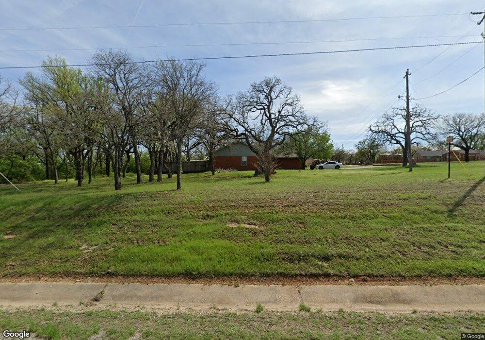
7701 Wolf Hollow Millsap, TX 76066
Estimated Value: $281,758 - $670,000
3
Beds
2
Baths
1,384
Sq Ft
$319/Sq Ft
Est. Value
About This Home
This home is located at 7701 Wolf Hollow, Millsap, TX 76066 and is currently estimated at $441,440, approximately $318 per square foot. 7701 Wolf Hollow is a home located in Parker County with nearby schools including Millsap Elementary School, Millsap Middle School, and Millsap High School.
Ownership History
Date
Name
Owned For
Owner Type
Purchase Details
Closed on
May 13, 2010
Sold by
Carter Ann
Bought by
Jenkins Gloria
Current Estimated Value
Home Financials for this Owner
Home Financials are based on the most recent Mortgage that was taken out on this home.
Original Mortgage
$43,000
Outstanding Balance
$28,779
Interest Rate
5.02%
Mortgage Type
New Conventional
Estimated Equity
$412,661
Purchase Details
Closed on
Jan 17, 2002
Sold by
Mcgolthin David A
Bought by
Jenkins Gloria
Purchase Details
Closed on
Oct 18, 1985
Bought by
Jenkins Gloria
Create a Home Valuation Report for This Property
The Home Valuation Report is an in-depth analysis detailing your home's value as well as a comparison with similar homes in the area
Home Values in the Area
Average Home Value in this Area
Purchase History
| Date | Buyer | Sale Price | Title Company |
|---|---|---|---|
| Jenkins Gloria | -- | Fnt | |
| Jenkins Gloria | -- | -- | |
| Jenkins Gloria | -- | -- |
Source: Public Records
Mortgage History
| Date | Status | Borrower | Loan Amount |
|---|---|---|---|
| Open | Jenkins Gloria | $43,000 |
Source: Public Records
Tax History Compared to Growth
Tax History
| Year | Tax Paid | Tax Assessment Tax Assessment Total Assessment is a certain percentage of the fair market value that is determined by local assessors to be the total taxable value of land and additions on the property. | Land | Improvement |
|---|---|---|---|---|
| 2025 | $3,191 | $219,670 | $132,240 | $87,430 |
| 2024 | $3,191 | $191,700 | $106,490 | $85,210 |
| 2023 | $3,191 | $196,410 | $106,490 | $89,920 |
| 2022 | $4,671 | $246,200 | $71,220 | $174,980 |
| 2021 | $5,123 | $246,200 | $71,220 | $174,980 |
| 2020 | $3,720 | $200,240 | $49,470 | $150,770 |
| 2019 | $3,644 | $200,240 | $49,470 | $150,770 |
| 2018 | $3,346 | $143,410 | $20,400 | $123,010 |
| 2017 | $3,341 | $143,410 | $20,400 | $123,010 |
| 2016 | $3,038 | $125,750 | $19,930 | $105,820 |
| 2015 | $2,096 | $125,750 | $19,930 | $105,820 |
| 2014 | $2,104 | $107,720 | $19,650 | $88,070 |
Source: Public Records
Map
Nearby Homes
- TBD Wolf Hollow
- 251 Tumbleweed Ct
- XXXX Wolf Hollow
- 7530 W Interstate 20
- 401 Brock Spur
- 169 Savannah Dr
- 181 Savannah Dr
- 3810 Fairview Rd
- 1350 Stephens Rd
- 2350 Grindstone Rd
- 101 Consolation Dr
- 555 Sunset Trail
- TBD Grindstone Rd
- 6427 S Fm Rd 113
- 1700 Fm 1189
- 606 Grindstone Rd
- 5288 Bennett Rd
- 4962 S Fm 113
- 3200 Fairview Rd
- 131 Brock Ln
- 7707 Wolf Hollow
- 7721 Wolf Hollow
- 7713 Wolf Hollow
- 7729 Wolf Hollow
- 7731 Wolf Hollow
- 7717 Wolf Hollow
- 7727 Wolf Hollow
- 7733 Wolf Hollow
- 7755 Wolf Hollow
- 7845 Wolf Hollow
- 7700 W Interstate 20
- 2101 Poe Prairie Rd
- 2118 Poe Prairie Rd
- 2100 Poe Prairie Rd
- 2001 Poe Prairie Rd
- 2112 Poe Prairie Rd
- 1901 Poe Prairie Rd
- 2004 Poe Prairie Rd
- 2050 Poe Prairie Rd
- 1990 Poe Prairie Rd