7702 Corona Ct Larkspur, CO 80118
Estimated Value: $1,079,465 - $1,188,000
4
Beds
4
Baths
2,720
Sq Ft
$418/Sq Ft
Est. Value
About This Home
This home is located at 7702 Corona Ct, Larkspur, CO 80118 and is currently estimated at $1,136,116, approximately $417 per square foot. 7702 Corona Ct is a home located in Douglas County with nearby schools including Larkspur Elementary School, Castle Rock Middle School, and Castle View High School.
Ownership History
Date
Name
Owned For
Owner Type
Purchase Details
Closed on
May 11, 2016
Sold by
Jonathan Caswell
Bought by
Archer Kevin and Archer Linda
Current Estimated Value
Home Financials for this Owner
Home Financials are based on the most recent Mortgage that was taken out on this home.
Original Mortgage
$573,440
Outstanding Balance
$455,753
Interest Rate
3.61%
Estimated Equity
$680,363
Purchase Details
Closed on
Nov 13, 1996
Sold by
Sterling Pointe Devl Llc
Bought by
Archer Kevin E and Archer Linda R
Create a Home Valuation Report for This Property
The Home Valuation Report is an in-depth analysis detailing your home's value as well as a comparison with similar homes in the area
Home Values in the Area
Average Home Value in this Area
Purchase History
| Date | Buyer | Sale Price | Title Company |
|---|---|---|---|
| Archer Kevin | -- | -- | |
| Archer Kevin E | $35,500 | -- |
Source: Public Records
Mortgage History
| Date | Status | Borrower | Loan Amount |
|---|---|---|---|
| Open | Archer Kevin | $573,440 | |
| Closed | Archer Kevin | -- |
Source: Public Records
Tax History Compared to Growth
Tax History
| Year | Tax Paid | Tax Assessment Tax Assessment Total Assessment is a certain percentage of the fair market value that is determined by local assessors to be the total taxable value of land and additions on the property. | Land | Improvement |
|---|---|---|---|---|
| 2024 | $6,013 | $65,380 | $21,360 | $44,020 |
| 2023 | $6,073 | $65,380 | $21,360 | $44,020 |
| 2022 | $4,500 | $47,510 | $14,580 | $32,930 |
| 2021 | $4,658 | $47,510 | $14,580 | $32,930 |
| 2020 | $3,967 | $41,300 | $9,920 | $31,380 |
| 2019 | $3,980 | $41,300 | $9,920 | $31,380 |
| 2018 | $3,618 | $36,880 | $9,110 | $27,770 |
| 2017 | $3,401 | $36,880 | $9,110 | $27,770 |
| 2016 | $3,582 | $38,210 | $10,750 | $27,460 |
| 2015 | $3,503 | $38,210 | $10,750 | $27,460 |
| 2014 | $3,233 | $33,070 | $9,950 | $23,120 |
Source: Public Records
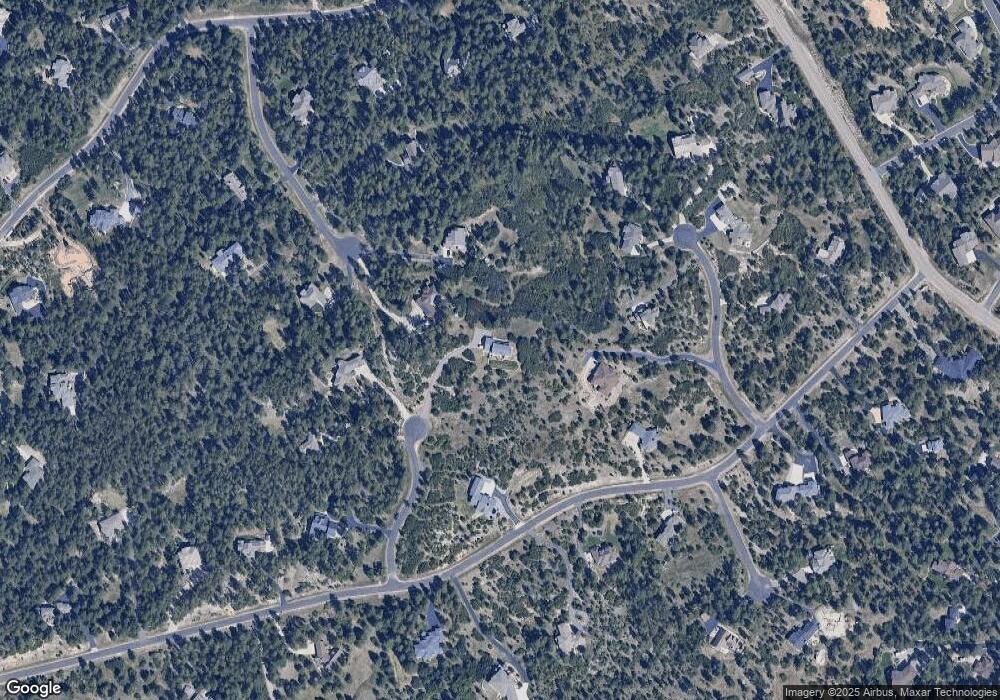
Map
Nearby Homes
- 1653 Gore Dr
- 1025 Tenderfoot Dr
- 1892 Lake Dr
- 1935 Poncha Ct
- 1600 Independence Dr Unit 50
- 7596 Rollins Dr
- 1065 Independence Dr
- 7169 Independence Ct
- 7317 Fremont Place
- 1275 Fremont Dr
- 1805 Senecio Dr
- 1210 Kenosha Dr
- 1038 Tenderfoot Dr
- 929 Tenderfoot Dr
- 0 E Cherry Creek Rd Unit 2541327
- 0 E Cherry Creek Rd Unit REC1786246
- 950 Tenderfoot Dr
- 1151 Kenosha Dr
- 7013 Cinque Tail Dr Unit 31
- 691 Cumberland Rd