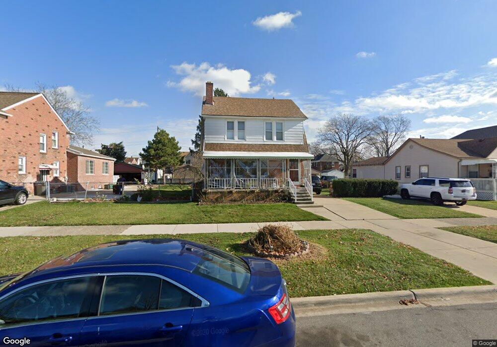
7702 Maple St Dearborn, MI 48126
Oakman Grove NeighborhoodEstimated Value: $209,000 - $286,000
3
Beds
1
Bath
1,344
Sq Ft
$176/Sq Ft
Est. Value
About This Home
This home is located at 7702 Maple St, Dearborn, MI 48126 and is currently estimated at $236,054, approximately $175 per square foot. 7702 Maple St is a home located in Wayne County with nearby schools including McCollough-Unis School, Fordson High School, and Riverside Academy - West Campus.
Ownership History
Date
Name
Owned For
Owner Type
Purchase Details
Closed on
Jan 28, 2013
Sold by
Akanan Mohammad
Bought by
Abdulreda Abdulkarim
Current Estimated Value
Purchase Details
Closed on
Oct 29, 2010
Sold by
Abdulreda Zahra and Abdulreda Issam
Bought by
Akanan Mohammad
Purchase Details
Closed on
Jun 20, 2005
Sold by
Abdulreda Issam and Abdulreda Zahra
Bought by
Abdulreda Zahra
Home Financials for this Owner
Home Financials are based on the most recent Mortgage that was taken out on this home.
Original Mortgage
$131,950
Interest Rate
5.75%
Mortgage Type
FHA
Create a Home Valuation Report for This Property
The Home Valuation Report is an in-depth analysis detailing your home's value as well as a comparison with similar homes in the area
Home Values in the Area
Average Home Value in this Area
Purchase History
| Date | Buyer | Sale Price | Title Company |
|---|---|---|---|
| Abdulreda Abdulkarim | $52,000 | None Available | |
| Akanan Mohammad | $51,900 | Bell Title | |
| Abdulreda Zahra | -- | American Premier Title Agenc |
Source: Public Records
Mortgage History
| Date | Status | Borrower | Loan Amount |
|---|---|---|---|
| Previous Owner | Abdulreda Zahra | $131,950 |
Source: Public Records
Tax History
| Year | Tax Paid | Tax Assessment Tax Assessment Total Assessment is a certain percentage of the fair market value that is determined by local assessors to be the total taxable value of land and additions on the property. | Land | Improvement |
|---|---|---|---|---|
| 2025 | $2,901 | $102,300 | $0 | $0 |
| 2024 | $2,920 | $108,000 | $0 | $0 |
| 2023 | $2,597 | $81,000 | $0 | $0 |
| 2022 | $2,990 | $70,600 | $0 | $0 |
| 2021 | $3,064 | $63,900 | $0 | $0 |
| 2019 | $3,022 | $55,800 | $0 | $0 |
| 2018 | $2,622 | $49,500 | $0 | $0 |
| 2017 | $617 | $45,200 | $0 | $0 |
| 2016 | $2,481 | $42,300 | $0 | $0 |
| 2015 | $3,805 | $41,200 | $0 | $0 |
| 2013 | $3,635 | $36,350 | $0 | $0 |
| 2011 | -- | $39,950 | $0 | $0 |
Source: Public Records
Map
Nearby Homes
- 7813 Neckel St
- 7750 Morross Ct
- 7927 Bingham St
- 8029 Hartwell St
- 8042 Hartwell St
- 7449 Williamson St
- 7705 Anthony St
- 8154 Decatur St
- 7247 Middlesex St
- 8229 Carlin St
- 7241 Middlesex St
- 8207 Schaefer Hwy
- 7758 Reuter St
- 8118 Cheyenne St
- 7857 Esper Blvd
- 7524 Hartwell St
- 8130 Ward St
- 8372 Carlin St
- 8121 Hubbell St
- 7308 Orchard Ave
Your Personal Tour Guide
Ask me questions while you tour the home.