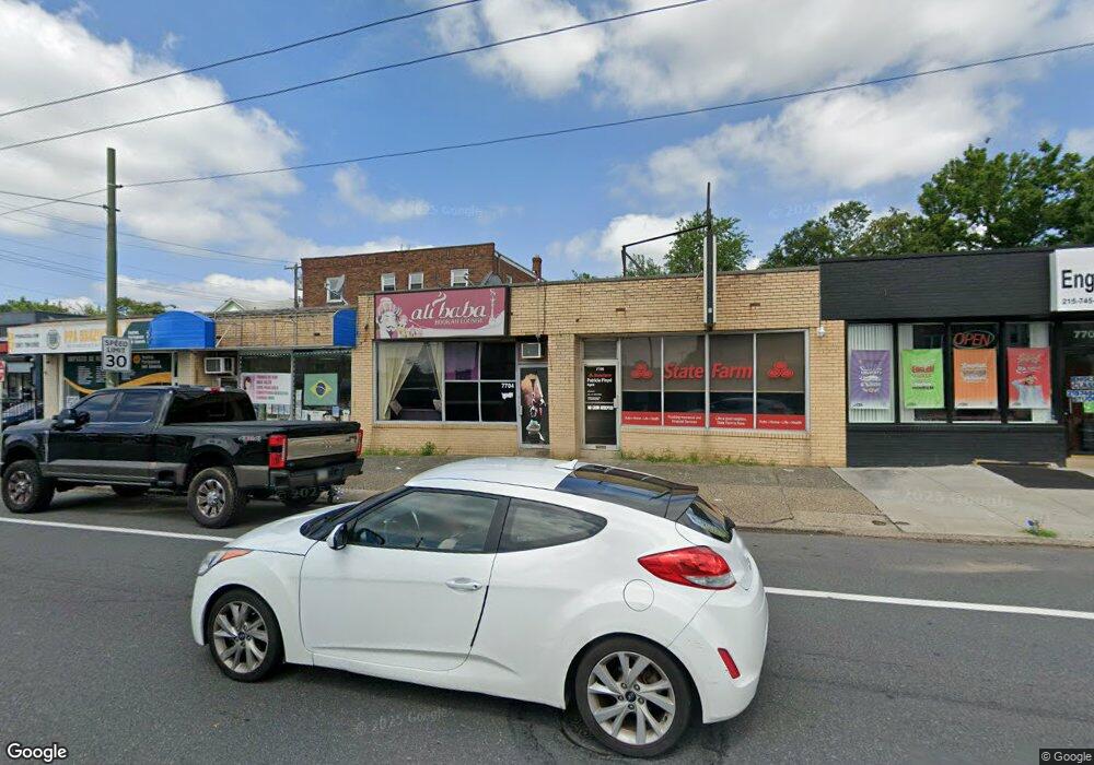
7704 Castor Ave Philadelphia, PA 19152
Rhawnhurst NeighborhoodEstimated Value: $655,000
--
Bed
--
Bath
1,181
Sq Ft
$555/Sq Ft
Est. Value
About This Home
This home is located at 7704 Castor Ave, Philadelphia, PA 19152 and is currently estimated at $655,000, approximately $554 per square foot. 7704 Castor Ave is a home with nearby schools including Rhawnhurst School, Castor Gardens Middle School, and Northeast High School.
Ownership History
Date
Name
Owned For
Owner Type
Purchase Details
Closed on
Dec 22, 2020
Sold by
Rubenstein Evan and Estate Of Linda Rubenstein
Bought by
Rubenstein Evan
Current Estimated Value
Home Financials for this Owner
Home Financials are based on the most recent Mortgage that was taken out on this home.
Original Mortgage
$350,241
Interest Rate
2.7%
Mortgage Type
Future Advance Clause Open End Mortgage
Purchase Details
Closed on
Jan 22, 1997
Sold by
Ifkovitz Anna and Fuerst Therese
Bought by
Fuerst Therese
Create a Home Valuation Report for This Property
The Home Valuation Report is an in-depth analysis detailing your home's value as well as a comparison with similar homes in the area
Home Values in the Area
Average Home Value in this Area
Purchase History
| Date | Buyer | Sale Price | Title Company |
|---|---|---|---|
| Rubenstein Evan | -- | Laurel Abstract Company | |
| Fuerst Therese | -- | -- |
Source: Public Records
Mortgage History
| Date | Status | Borrower | Loan Amount |
|---|---|---|---|
| Closed | Rubenstein Evan | $350,241 |
Source: Public Records
Tax History Compared to Growth
Tax History
| Year | Tax Paid | Tax Assessment Tax Assessment Total Assessment is a certain percentage of the fair market value that is determined by local assessors to be the total taxable value of land and additions on the property. | Land | Improvement |
|---|---|---|---|---|
| 2025 | $2,527 | $241,200 | $48,240 | $192,960 |
| 2024 | $2,527 | $241,200 | $48,240 | $192,960 |
| 2023 | $2,527 | $180,500 | $36,104 | $144,396 |
| 2022 | $2,312 | $180,500 | $36,104 | $144,396 |
| 2021 | $2,312 | $0 | $0 | $0 |
| 2020 | $2,312 | $0 | $0 | $0 |
| 2019 | $2,296 | $0 | $0 | $0 |
| 2018 | $2,291 | $0 | $0 | $0 |
| 2017 | $3,068 | $0 | $0 | $0 |
| 2016 | $3,068 | $0 | $0 | $0 |
| 2015 | $2,919 | $0 | $0 | $0 |
| 2014 | -- | $219,200 | $44,100 | $175,100 |
| 2012 | -- | $22,656 | $5,655 | $17,001 |
Source: Public Records
Map
Nearby Homes
- 1919 Lansing St
- 1920 Hartel Ave
- 7735 Loretto Ave
- 2023 Hartel Ave
- 1834 Lansing St
- 1826 Hartel Ave
- 1821 Afton St
- 1824 Afton St
- 1807 Napfle Ave
- 7912 14 Loretto Ave
- 7528 Loretto Ave
- 2120 Napfle St
- 1858 Glendale Ave
- 7815 Horrocks St
- 2029 Loney St
- 1819 Oakmont St
- 1714 Afton St
- 1813 Glendale Ave
- 2123 Loney St
- 7414 Castor Ave
- 7706 Castor Ave
- 7708 Castor Ave
- 7710 Castor Ave
- 7712 Castor Ave
- 1927-29 Lansing St
- 1927 Lansing St Unit 29
- 7714 Castor Ave
- 7716 Castor Ave
- 7720 Castor Ave
- 1923-25 Lansing St
- 1923 Lansing St Unit 25
- 1928 Hartel Ave
- 7640 Castor Ave
- 7718 Castor Ave Unit 2F
- 1926 Hartel Ave
- 7638 Castor Ave
- 1924 Hartel Ave
- 1921 Lansing St
- 1928 Lansing St
- 1926 Lansing St