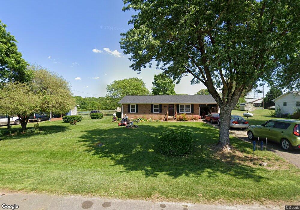
7704 Locust Grove Dr Browns Summit, NC 27214
Estimated Value: $208,864 - $252,000
3
Beds
2
Baths
1,050
Sq Ft
$215/Sq Ft
Est. Value
About This Home
This home is located at 7704 Locust Grove Dr, Browns Summit, NC 27214 and is currently estimated at $225,466, approximately $214 per square foot. 7704 Locust Grove Dr is a home located in Guilford County with nearby schools including Monticello-Brown Summit Elementary School, Northeast Guilford Middle School, and Northeast Guilford High School.
Ownership History
Date
Name
Owned For
Owner Type
Purchase Details
Closed on
Dec 30, 2021
Sold by
Slade Debra Charlene and Slade Hubert
Bought by
Herbin William J and Herbin Mary P
Current Estimated Value
Home Financials for this Owner
Home Financials are based on the most recent Mortgage that was taken out on this home.
Original Mortgage
$92,000
Outstanding Balance
$84,834
Interest Rate
3.15%
Mortgage Type
New Conventional
Estimated Equity
$140,632
Purchase Details
Closed on
Mar 30, 1972
Bought by
Slade Debra Charlene
Create a Home Valuation Report for This Property
The Home Valuation Report is an in-depth analysis detailing your home's value as well as a comparison with similar homes in the area
Home Values in the Area
Average Home Value in this Area
Purchase History
| Date | Buyer | Sale Price | Title Company |
|---|---|---|---|
| Herbin William J | $90,000 | None Available | |
| Slade Debra Charlene | -- | -- |
Source: Public Records
Mortgage History
| Date | Status | Borrower | Loan Amount |
|---|---|---|---|
| Open | Herbin William J | $92,000 |
Source: Public Records
Tax History Compared to Growth
Tax History
| Year | Tax Paid | Tax Assessment Tax Assessment Total Assessment is a certain percentage of the fair market value that is determined by local assessors to be the total taxable value of land and additions on the property. | Land | Improvement |
|---|---|---|---|---|
| 2025 | $835 | $93,800 | $20,000 | $73,800 |
| 2024 | $835 | $93,800 | $20,000 | $73,800 |
| 2023 | $835 | $93,800 | $20,000 | $73,800 |
| 2022 | $816 | $93,800 | $20,000 | $73,800 |
| 2021 | $682 | $78,300 | $16,000 | $62,300 |
| 2020 | $682 | $78,300 | $16,000 | $62,300 |
| 2019 | $682 | $78,300 | $0 | $0 |
| 2018 | $670 | $78,300 | $0 | $0 |
| 2017 | $670 | $78,300 | $0 | $0 |
| 2016 | $646 | $73,000 | $0 | $0 |
| 2015 | $325 | $73,000 | $0 | $0 |
| 2014 | $328 | $73,000 | $0 | $0 |
Source: Public Records
Map
Nearby Homes
- 7930-C N Carolina 150
- 4427 N Carolina 150
- 3810 Old Berkshire Dr
- 4814 Greenbrook Rd
- 7787 Ferrin Rd Unit et al
- 3911 Old Berkshire Dr
- 7910 Brooks Lake Rd
- 8204 Southerland Dr
- 4907 Gordon Farm Way
- 7906 Duck Pond Ct
- 7912 Duck Pond Ct
- 7049 McLeansville Rd
- 7918 Duck Pond Ct
- 7907 Duck Pond Ct
- 7913 Duck Pond Ct
- 7919 Duck Pond Ct
- 7039 McLeansville Rd
- 8006 Duck Pond Ct
- 8001 Duck Pond Ct
- 8012 Duck Pond Ct
- 7706 Locust Grove Dr
- 7702 Locust Grove Dr
- 4703 Nc Highway 150 E
- 7708 Locust Grove Dr
- 4701 E Nc Highway 150
- 7703 Locust Grove Dr
- 4625 N Carolina 150
- 7705 Locust Grove Dr
- 4625 E Nc Highway 150
- 7707 Locust Grove Dr
- 4623 E Nc Highway 150
- 7710 Locust Grove Dr
- 7709 Locust Grove Dr
- 4702 E Nc Highway 150
- 7711 Locust Grove Dr
- 7702 Summit Landing Dr
- 7700 Summit Landing Dr
- 7704 Summit Landing Dr
- 7714 Locust Grove Dr
- 7706 Summit Landing Dr