7706 Industrial Dr Unit J Spring Grove, IL 60081
Estimated Value: $508,000
--
Bed
--
Bath
--
Sq Ft
1.83
Acres
About This Home
This home is located at 7706 Industrial Dr Unit J, Spring Grove, IL 60081 and is currently priced at $508,000. 7706 Industrial Dr Unit J is a home located in McHenry County with nearby schools including Spring Grove Elementary School, Nippersink Middle School, and Richmond-Burton High School.
Ownership History
Date
Name
Owned For
Owner Type
Purchase Details
Closed on
Apr 5, 2011
Sold by
Lehecka Richard T
Bought by
Lehecka Richard T and Richard T Lehecka Revocable Trust
Current Estimated Value
Purchase Details
Closed on
Oct 21, 2010
Sold by
First Midwest Bank
Bought by
Lehecka Richard T
Home Financials for this Owner
Home Financials are based on the most recent Mortgage that was taken out on this home.
Original Mortgage
$328,700
Outstanding Balance
$217,128
Interest Rate
4.37%
Mortgage Type
Future Advance Clause Open End Mortgage
Create a Home Valuation Report for This Property
The Home Valuation Report is an in-depth analysis detailing your home's value as well as a comparison with similar homes in the area
Home Values in the Area
Average Home Value in this Area
Purchase History
| Date | Buyer | Sale Price | Title Company |
|---|---|---|---|
| Lehecka Richard T | -- | None Available | |
| Lehecka Richard T | $410,920 | Chicago Title |
Source: Public Records
Mortgage History
| Date | Status | Borrower | Loan Amount |
|---|---|---|---|
| Open | Lehecka Richard T | $328,700 |
Source: Public Records
Tax History Compared to Growth
Tax History
| Year | Tax Paid | Tax Assessment Tax Assessment Total Assessment is a certain percentage of the fair market value that is determined by local assessors to be the total taxable value of land and additions on the property. | Land | Improvement |
|---|---|---|---|---|
| 2024 | $9,546 | $124,820 | $17,770 | $107,050 |
| 2023 | $9,332 | $114,106 | $16,245 | $97,861 |
| 2022 | $8,899 | $102,742 | $14,627 | $88,115 |
| 2021 | $9,175 | $98,610 | $14,039 | $84,571 |
| 2020 | $9,899 | $98,079 | $13,508 | $84,571 |
| 2019 | $8,725 | $94,927 | $13,074 | $81,853 |
| 2018 | $9,714 | $94,387 | $12,534 | $81,853 |
| 2017 | $10,256 | $89,884 | $11,936 | $77,948 |
| 2016 | $9,088 | $84,272 | $11,191 | $73,081 |
| 2013 | -- | $79,680 | $10,581 | $69,099 |
Source: Public Records
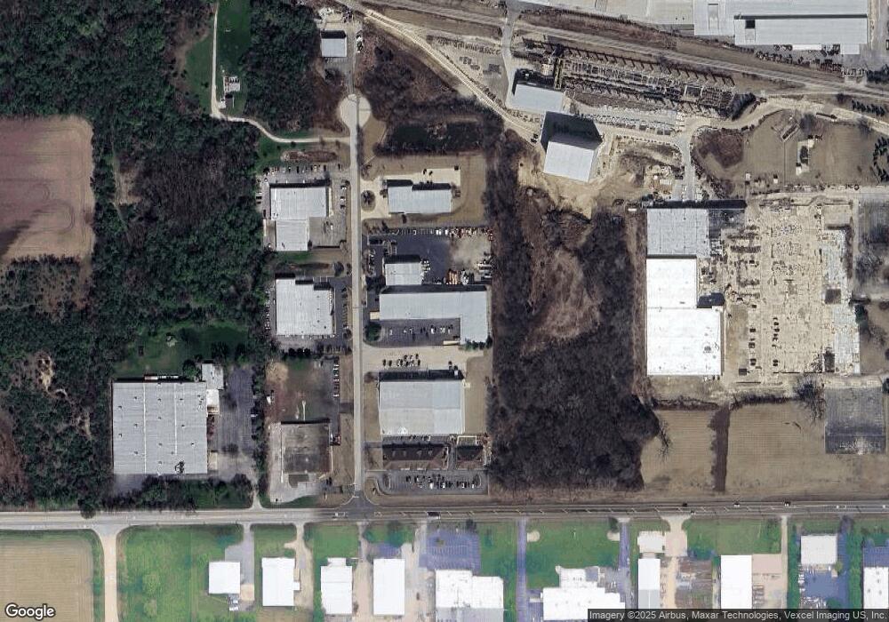
Map
Nearby Homes
- 7416 Briar Ct
- 3013 N Us Highway 12
- 3012 Rolling Oaks Rd
- 2150 U S 12
- 3006 Rolling Oaks Rd
- 2910 Rolling Oaks Rd
- 7404 Briar Ct
- 7304 Briar Dr
- 2617 Spring Leaf Dr
- 2912 Briar Dr
- 8207 Squirrel Dr
- 2909 Briar Dr
- 2214 Main Street Rd
- 2003 Red Oak Ln
- 1992 Red Oak Ln
- 7377 English Oak Ln
- 7373 English Oak Ln
- 7381 English Oak Ln
- 7369 English Oak Ln
- 7393 English Oak Ln
- 7706 Industrial Dr Unit E
- 7706 Industrial Dr Unit A
- 7706 Industrial Dr Unit C
- 7706 Industrial Dr Unit H-I
- 7706 Industrial Dr
- 7800 Industrial Dr
- 7606 Industrial Dr
- 7705 Industrial Dr
- 7705 Industrial Dr Unit B
- 7705 Industrial Dr Unit A
- 2900 U S 12
- 2900 U S 12 Unit K
- 2900 U S 12 Unit AB
- 2900 N Us Highway 12 Unit AB
- 2900 N Us Highway 12 Unit K
- 2900 Rt 12 Unit K
- 2900 Rt 12
- 2900 N Us Highway 12
- 7801 Industrial Dr Unit E
- 7801 Industrial Dr Unit F