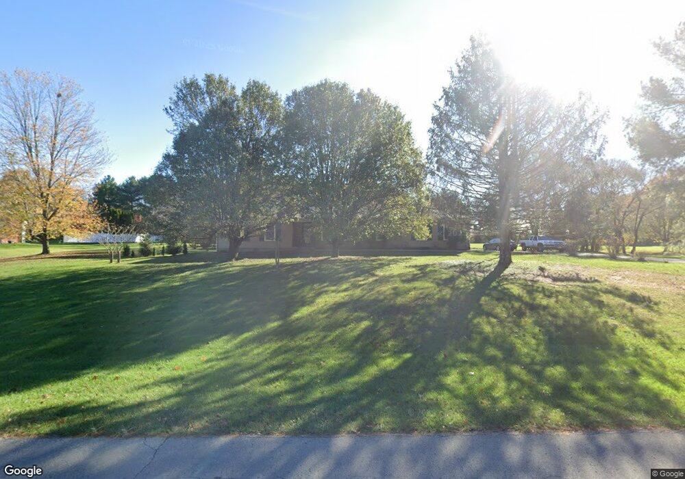
7707 Commonwealth Dr Crestwood, KY 40014
Estimated Value: $329,573 - $383,000
3
Beds
2
Baths
1,450
Sq Ft
$238/Sq Ft
Est. Value
About This Home
This home is located at 7707 Commonwealth Dr, Crestwood, KY 40014 and is currently estimated at $345,393, approximately $238 per square foot. 7707 Commonwealth Dr is a home located in Oldham County with nearby schools including Crestwood Elementary School, East Oldham Middle School, and South Oldham High School.
Ownership History
Date
Name
Owned For
Owner Type
Purchase Details
Closed on
May 27, 2011
Sold by
Hall Evan A and Hall Jean M
Bought by
Martin John C and Martin Kathleen M
Current Estimated Value
Home Financials for this Owner
Home Financials are based on the most recent Mortgage that was taken out on this home.
Original Mortgage
$149,900
Outstanding Balance
$102,996
Interest Rate
4.79%
Mortgage Type
VA
Estimated Equity
$242,397
Purchase Details
Closed on
Apr 20, 2005
Sold by
Chelf W Jeffrey and Chelf Paula K
Bought by
Hall Jean and Hall Evan
Create a Home Valuation Report for This Property
The Home Valuation Report is an in-depth analysis detailing your home's value as well as a comparison with similar homes in the area
Home Values in the Area
Average Home Value in this Area
Purchase History
| Date | Buyer | Sale Price | Title Company |
|---|---|---|---|
| Martin John C | $149,900 | None Available | |
| Hall Jean | $136,000 | None Available |
Source: Public Records
Mortgage History
| Date | Status | Borrower | Loan Amount |
|---|---|---|---|
| Open | Martin John C | $149,900 |
Source: Public Records
Tax History
| Year | Tax Paid | Tax Assessment Tax Assessment Total Assessment is a certain percentage of the fair market value that is determined by local assessors to be the total taxable value of land and additions on the property. | Land | Improvement |
|---|---|---|---|---|
| 2025 | $2,214 | $225,000 | $45,000 | $180,000 |
| 2023 | $2,266 | $225,000 | $45,000 | $180,000 |
| 2022 | $2,314 | $225,000 | $45,000 | $180,000 |
| 2021 | $2,239 | $180,000 | $40,000 | $140,000 |
| 2020 | $2,244 | $180,000 | $40,000 | $140,000 |
| 2019 | $2,220 | $180,000 | $40,000 | $140,000 |
| 2018 | $1,856 | $150,000 | $0 | $0 |
| 2017 | $1,843 | $150,000 | $0 | $0 |
| 2013 | $1,589 | $150,000 | $40,000 | $110,000 |
Source: Public Records
Map
Nearby Homes
- 3020 Lincoln Trail
- 7500 Willow Bend Dr
- 2905 Salt Lick Rd
- 3107 Salt Lick Rd
- 7105 Colton Rd
- 7001 Derby Dr
- 7000 Colton Rd
- 7000 Stable Ct
- 2016 Waldner Ct
- 4411 Wendy Hills Dr
- 6619 Heritage Hills Dr
- 2005 Waldner Ct
- 9400 Floydsburg Rd
- 3921 W Highway 22
- 4405 W Hwy 22
- 279 Persimmon Ridge Dr
- 5501 Farmhouse Dr
- 5502 Farmhouse Dr
- 3300 W Highway 22
- 5504 Farmhouse Dr
- 7709 Commonwealth Dr
- 7705 Commonwealth Dr
- 7710 Commonwealth Dr
- 7704 Commonwealth Dr
- 7703 Commonwealth Dr
- 7711 Commonwealth Dr
- 7702 Commonwealth Dr
- 7715 Commonwealth Dr
- 3032 Boones Trace
- 3028 Boones Trace
- 7700 Commonwealth Dr
- 3030 Boones Trace
- 7611 Lake Pointe Dr
- 7615 Lake Pointe Dr
- 7610 Lake Pointe Dr
- 2620 W Mount Zion Rd Unit LOT 2
- 2620 W Mount Zion Rd
- 2620 W Mount Zion Rd Unit LOT 1
- 2620 W Mt Zion Rd Unit LOT 2
- 2620 W Mt Zion Rd Unit LOT 1
Your Personal Tour Guide
Ask me questions while you tour the home.