7707 E Cooper Ln Colbert, WA 99005
Estimated Value: $605,000 - $844,000
3
Beds
3
Baths
2,220
Sq Ft
$323/Sq Ft
Est. Value
About This Home
This home is located at 7707 E Cooper Ln, Colbert, WA 99005 and is currently estimated at $717,141, approximately $323 per square foot. 7707 E Cooper Ln is a home located in Spokane County with nearby schools including Colbert Elementary School, Mountainside Middle School, and Mt. Spokane High School.
Ownership History
Date
Name
Owned For
Owner Type
Purchase Details
Closed on
Jul 7, 1999
Sold by
Baker Jay C and Baker Mary L
Bought by
Grissom Jay A and Grissom Stephanie H
Current Estimated Value
Home Financials for this Owner
Home Financials are based on the most recent Mortgage that was taken out on this home.
Original Mortgage
$137,750
Outstanding Balance
$37,610
Interest Rate
7.24%
Estimated Equity
$679,531
Purchase Details
Closed on
Mar 25, 1998
Sold by
Grissom Jay A and Grissom Stephanie H
Bought by
Baker Jay C and Baker Mary L
Home Financials for this Owner
Home Financials are based on the most recent Mortgage that was taken out on this home.
Original Mortgage
$116,000
Interest Rate
7%
Mortgage Type
Construction
Purchase Details
Closed on
Mar 3, 1994
Sold by
Martinez Steve P and Martinez Lillian
Bought by
Grissom Jay A and Grissom Stephanie H
Create a Home Valuation Report for This Property
The Home Valuation Report is an in-depth analysis detailing your home's value as well as a comparison with similar homes in the area
Purchase History
| Date | Buyer | Sale Price | Title Company |
|---|---|---|---|
| Grissom Jay A | -- | Pioneer Title Company | |
| Baker Jay C | -- | Pioneer Title Company | |
| Grissom Jay A | -- | Pioneer Title Company |
Source: Public Records
Mortgage History
| Date | Status | Borrower | Loan Amount |
|---|---|---|---|
| Open | Grissom Jay A | $137,750 | |
| Previous Owner | Baker Jay C | $116,000 |
Source: Public Records
Tax History
| Year | Tax Paid | Tax Assessment Tax Assessment Total Assessment is a certain percentage of the fair market value that is determined by local assessors to be the total taxable value of land and additions on the property. | Land | Improvement |
|---|---|---|---|---|
| 2025 | $6,169 | $611,120 | $178,720 | $432,400 |
| 2024 | $6,169 | $610,500 | $176,200 | $434,300 |
| 2023 | $5,383 | $610,500 | $176,200 | $434,300 |
| 2022 | $4,784 | $592,660 | $194,160 | $398,500 |
| 2021 | $4,280 | $405,210 | $78,610 | $326,600 |
| 2020 | $4,201 | $377,310 | $78,610 | $298,700 |
| 2019 | $4,023 | $364,710 | $78,610 | $286,100 |
| 2018 | $4,374 | $332,710 | $68,610 | $264,100 |
| 2017 | $4,062 | $311,110 | $68,610 | $242,500 |
| 2016 | $3,776 | $283,100 | $60,800 | $222,300 |
| 2015 | $3,579 | $275,600 | $73,200 | $202,400 |
| 2014 | -- | $276,700 | $73,200 | $203,500 |
| 2013 | -- | $0 | $0 | $0 |
Source: Public Records
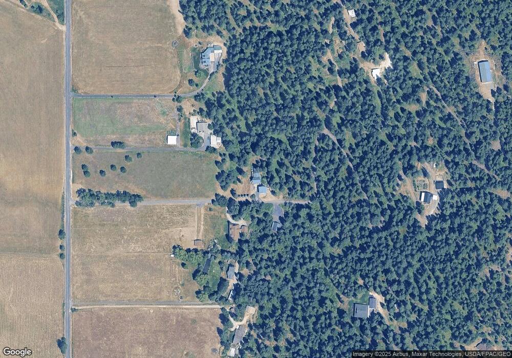
Map
Nearby Homes
- 20141 N Bernhill Rd
- 6622 Rocky Mountain Ln
- NKA N Hardesty Rd
- XXXXX E Day Mt Spokane Rd Unit Unassigned Address o
- 17415 N Dunn Rd
- 20016 N Sands Rd
- 17323 N Lower Greenbluff Rd
- NKA E Day Mt Spokane Rd Unit North Parcel
- 21905 N Chronicle Ln
- 19421 N Yale Rd
- NKA N Orchard Bluff Rd King Ln
- 21018 N Myrtle St
- 3923 E Woolard Ct
- L8 N Orchard Bluff Rd
- 24810 N Orchard Bluff Rd
- 0 NKA N Orchard Bluff Rd
- 47161.0305 N Northwood Dr
- 19505 N Newport Rd
- 3810 E Evan Ln
- 24xxx N Orchard Rd
- 7704 E Cooper Ln
- 20020 N Bernhill Rd
- 19824 N Bernhill Rd
- 20110 N Bernhill Rd
- 19720 N Bernhill Rd
- 7915 E Cooper Ln
- 19509 N Kamiakin Trail Ln
- 7911 E Cooper Ln
- 20135 N Bernhill Rd
- 20137 N Bernhill Rd
- 20139 N Bernhill Rd
- 19710 N Kamiakin Trail Ln
- 19610 N Bernhill Rd
- 19505 N Kamiakin Trail Ln
- 20102 N Kamiakin Trail Ln
- 19605 N Kamiakin Trail Ln
- 19424 N Bernhill Rd
- 19506 N Bernhill Rd
- 20160 N Bernhill Rd
- 19501 N Kamiakin Trail Ln