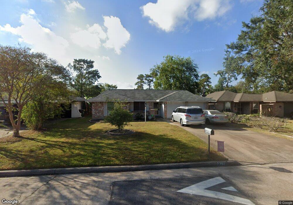
7707 Mosewood St Houston, TX 77040
Greater Inwood NeighborhoodEstimated Value: $176,000 - $214,000
3
Beds
2
Baths
1,037
Sq Ft
$191/Sq Ft
Est. Value
About This Home
This home is located at 7707 Mosewood St, Houston, TX 77040 and is currently estimated at $198,215, approximately $191 per square foot. 7707 Mosewood St is a home located in Harris County with nearby schools including Edward a Vines EC/Pre-K/K School, Ermel Elementary School, and Dr. Viola K. Garcia Middle School.
Ownership History
Date
Name
Owned For
Owner Type
Purchase Details
Closed on
Jul 15, 2019
Sold by
Jpmorgan Chase Bank
Bought by
Khera Interest Inc
Current Estimated Value
Purchase Details
Closed on
Aug 28, 2001
Sold by
Robinson Michael F and Robinson Patricia
Bought by
Nunez Jorge
Home Financials for this Owner
Home Financials are based on the most recent Mortgage that was taken out on this home.
Original Mortgage
$73,420
Interest Rate
7.07%
Create a Home Valuation Report for This Property
The Home Valuation Report is an in-depth analysis detailing your home's value as well as a comparison with similar homes in the area
Home Values in the Area
Average Home Value in this Area
Purchase History
| Date | Buyer | Sale Price | Title Company |
|---|---|---|---|
| Khera Interest Inc | -- | None Available | |
| Nunez Jorge | -- | Stewart Title |
Source: Public Records
Mortgage History
| Date | Status | Borrower | Loan Amount |
|---|---|---|---|
| Previous Owner | Nunez Jorge | $73,420 |
Source: Public Records
Tax History Compared to Growth
Tax History
| Year | Tax Paid | Tax Assessment Tax Assessment Total Assessment is a certain percentage of the fair market value that is determined by local assessors to be the total taxable value of land and additions on the property. | Land | Improvement |
|---|---|---|---|---|
| 2025 | $2,394 | $184,725 | $37,422 | $147,303 |
| 2024 | $2,394 | $177,401 | $35,640 | $141,761 |
| 2023 | $2,394 | $175,879 | $35,640 | $140,239 |
| 2022 | $3,339 | $146,617 | $30,294 | $116,323 |
| 2021 | $3,179 | $126,543 | $30,294 | $96,249 |
| 2020 | $3,159 | $119,674 | $14,850 | $104,824 |
| 2019 | $3,072 | $111,002 | $14,850 | $96,152 |
| 2018 | $1,102 | $101,726 | $14,850 | $86,876 |
| 2017 | $2,461 | $101,726 | $14,850 | $86,876 |
| 2016 | $2,237 | $91,093 | $14,850 | $76,243 |
| 2015 | $1,480 | $87,419 | $14,850 | $72,569 |
| 2014 | $1,480 | $73,938 | $14,850 | $59,088 |
Source: Public Records
Map
Nearby Homes
- 7718 Breezeway St
- 9207 Loren Ln
- 9331 Deanwood St
- 9214 Woodland Oaks Dr
- 7731 Deadwood Dr
- 7706 Deadwood Dr
- 7318 Shady Grove Ln
- 9350 Guywood St
- 9523 Vanwood St
- 7123 Shady Vale Ln
- 7259 Shady Arbor Ln
- 7911 Battleoak Dr
- 8007 E Oakwood Ct
- 7918 Battleoak Dr
- 8020 Oakwood Forest Dr
- 7606 Battlepine Dr
- 7218 Stonegate Dr
- 7311 Woodoak Dr
- 7823 Lumber Jack Dr
- 7051 Majestic Oaks Dr
- 7703 Mosewood St
- 7711 Mosewood St
- 7710 Breezeway St
- 7715 Mosewood St
- 7714 Breezeway St
- 7623 Mosewood St
- 7706 Breezeway St
- 7710 Mosewood St
- 7706 Mosewood St
- 7702 Breezeway St
- 7719 Mosewood St
- 7619 Mosewood St
- 7722 Breezeway St
- 7714 Mosewood St
- 7702 Mosewood St
- 7622 Breezeway St
- 7718 Mosewood St
- 7622 Mosewood St
- 7723 Mosewood St
- 7615 Mosewood St