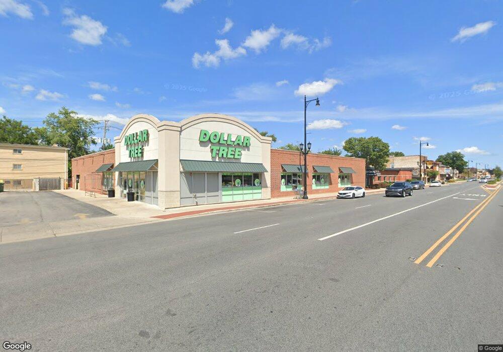
7709 Roosevelt Rd Forest Park, IL 60130
Estimated Value: $2,505,217
Studio
--
Bath
--
Sq Ft
0.65
Acres
About This Home
This home is located at 7709 Roosevelt Rd, Forest Park, IL 60130 and is currently priced at $2,505,217. 7709 Roosevelt Rd is a home located in Cook County with nearby schools including Garfield Elementary School, Field Stevenson Elementary School, and Betsy Ross Elementary School.
Ownership History
Date
Name
Owned For
Owner Type
Purchase Details
Closed on
Oct 4, 2022
Sold by
Dadipro Llc and Arrowdale Properties Llc
Bought by
Exchangeright Net-Leased Portfolio 59 Dst
Current Estimated Value
Purchase Details
Closed on
Jul 20, 2017
Sold by
7709 W Roosevelt Llc
Bought by
Dadipro Llc and Arrowdale Properties Llc
Home Financials for this Owner
Home Financials are based on the most recent Mortgage that was taken out on this home.
Original Mortgage
$1,520,000
Interest Rate
1.83%
Mortgage Type
Commercial
Create a Home Valuation Report for This Property
The Home Valuation Report is an in-depth analysis detailing your home's value as well as a comparison with similar homes in the area
Home Values in the Area
Average Home Value in this Area
Purchase History
| Date | Buyer | Sale Price | Title Company |
|---|---|---|---|
| Exchangeright Net-Leased Portfolio 59 Dst | $2,232,000 | None Listed On Document | |
| Dadipro Llc | $1,900,000 | Greater Illinois Title |
Source: Public Records
Mortgage History
| Date | Status | Borrower | Loan Amount |
|---|---|---|---|
| Previous Owner | Dadipro Llc | $1,520,000 |
Source: Public Records
Tax History
| Year | Tax Paid | Tax Assessment Tax Assessment Total Assessment is a certain percentage of the fair market value that is determined by local assessors to be the total taxable value of land and additions on the property. | Land | Improvement |
|---|---|---|---|---|
| 2025 | $91,514 | $304,679 | $98,728 | $205,951 |
| 2024 | $91,514 | $304,679 | $98,728 | $205,951 |
| 2023 | $78,658 | $304,679 | $98,728 | $205,951 |
| 2022 | $78,658 | $219,461 | $98,728 | $120,733 |
| 2021 | $74,714 | $219,459 | $98,728 | $120,731 |
| 2020 | $72,806 | $219,459 | $98,728 | $120,731 |
| 2019 | $80,677 | $229,125 | $88,150 | $140,975 |
| 2018 | $126,026 | $365,446 | $88,150 | $277,296 |
Source: Public Records
Map
Nearby Homes
- 940 Troost Ave
- 1007 Ferdinand Ave
- 946 Ferdinand Ave
- 850 Des Plaines Ave Unit 610
- 900 Lathrop Ave
- 837 Lathrop Ave Unit 2E
- 922 Beloit Ave
- 1042 Circle Ave
- 1225 Marengo Ave
- 914 Hannah Ave
- 836 Circle Ave
- 1101 Harlem Ave Unit 203
- 1404 Elgin Ave
- 1227 S Harlem Ave Unit 512
- 1501 Elgin Ave
- 7753 Van Buren St Unit 401
- 7753 Van Buren St Unit 206
- 7753 Van Buren St Unit 211
- 839 S Harlem Ave
- 1032 S Maple Ave
- 1130 Troost Ave
- 1126 Troost Ave
- 1135 Dunlop Ave
- 1124 Troost Ave
- 1122 Troost Ave
- 7635 Roosevelt Rd Unit BACK
- 7635 Roosevelt Rd Unit FRONT
- 1127 Dunlop Ave
- 1135 Troost Ave
- 1123 Dunlop Ave
- 7700 Yuba St
- 1131 Troost Ave
- 1127 Troost Ave
- 1121 Dunlop Ave
- 7648 Yuba St
- 1125 Troost Ave
- 1125 Troost Ave Unit 1
- 1119 Dunlop Ave Unit G
- 1119 Dunlop Ave Unit 1
- 1119 Dunlop Ave Unit 2
Your Personal Tour Guide
Ask me questions while you tour the home.