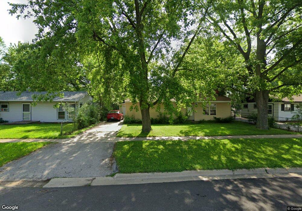
7709 Scott Ln Machesney Park, IL 61115
Estimated Value: $133,000 - $144,160
3
Beds
1
Bath
1,033
Sq Ft
$134/Sq Ft
Est. Value
About This Home
This home is located at 7709 Scott Ln, Machesney Park, IL 61115 and is currently estimated at $138,790, approximately $134 per square foot. 7709 Scott Ln is a home located in Winnebago County with nearby schools including Maple Elementary School, Harlem Middle School, and Harlem High School.
Ownership History
Date
Name
Owned For
Owner Type
Purchase Details
Closed on
Jun 16, 2005
Sold by
Anthony Miceli and Anthony Maria
Bought by
Dach Christopher J and Dach Helen
Current Estimated Value
Home Financials for this Owner
Home Financials are based on the most recent Mortgage that was taken out on this home.
Original Mortgage
$74,221
Interest Rate
3.75%
Mortgage Type
FHA
Create a Home Valuation Report for This Property
The Home Valuation Report is an in-depth analysis detailing your home's value as well as a comparison with similar homes in the area
Home Values in the Area
Average Home Value in this Area
Purchase History
| Date | Buyer | Sale Price | Title Company |
|---|---|---|---|
| Dach Christopher J | $75,500 | Title Underwriters Agency | |
| Dach Christopher J | $75,500 | -- |
Source: Public Records
Mortgage History
| Date | Status | Borrower | Loan Amount |
|---|---|---|---|
| Previous Owner | Dach Christopher J | $74,221 | |
| Closed | Dach Christopher J | $8,260 |
Source: Public Records
Tax History Compared to Growth
Tax History
| Year | Tax Paid | Tax Assessment Tax Assessment Total Assessment is a certain percentage of the fair market value that is determined by local assessors to be the total taxable value of land and additions on the property. | Land | Improvement |
|---|---|---|---|---|
| 2024 | $2,557 | $38,115 | $4,960 | $33,155 |
| 2023 | $2,403 | $33,850 | $4,405 | $29,445 |
| 2022 | $2,339 | $30,874 | $4,018 | $26,856 |
| 2021 | $2,143 | $28,715 | $3,737 | $24,978 |
| 2020 | $1,952 | $27,353 | $3,560 | $23,793 |
| 2019 | $1,994 | $26,200 | $3,410 | $22,790 |
| 2018 | $2,064 | $25,341 | $3,298 | $22,043 |
| 2017 | $2,072 | $24,646 | $3,208 | $21,438 |
| 2016 | $2,032 | $24,155 | $3,144 | $21,011 |
| 2015 | $2,009 | $23,733 | $3,089 | $20,644 |
| 2014 | $1,986 | $23,733 | $3,089 | $20,644 |
Source: Public Records
Map
Nearby Homes
- 7611 Mildred Rd
- 7525 Mildred Rd
- 1212 Kingsley Dr
- 1521 Harlem Rd
- 7701 Edwin Ln
- 8221 Eddington Dr
- 7725 Boulder St
- 7532 Sommerville St
- 1106 Colonial Dr
- 8315 Ravere St
- 2020 Exeter Ave
- 8624 Scott Ln
- 8632 Scott Ln
- 7604 N 2nd St
- 8640 Scott Ln
- 432 Winona Dr
- 2120 Devon Ave
- 8648 Scott Ln
- 8664 Scott Ln
- 632 Drexel Blvd