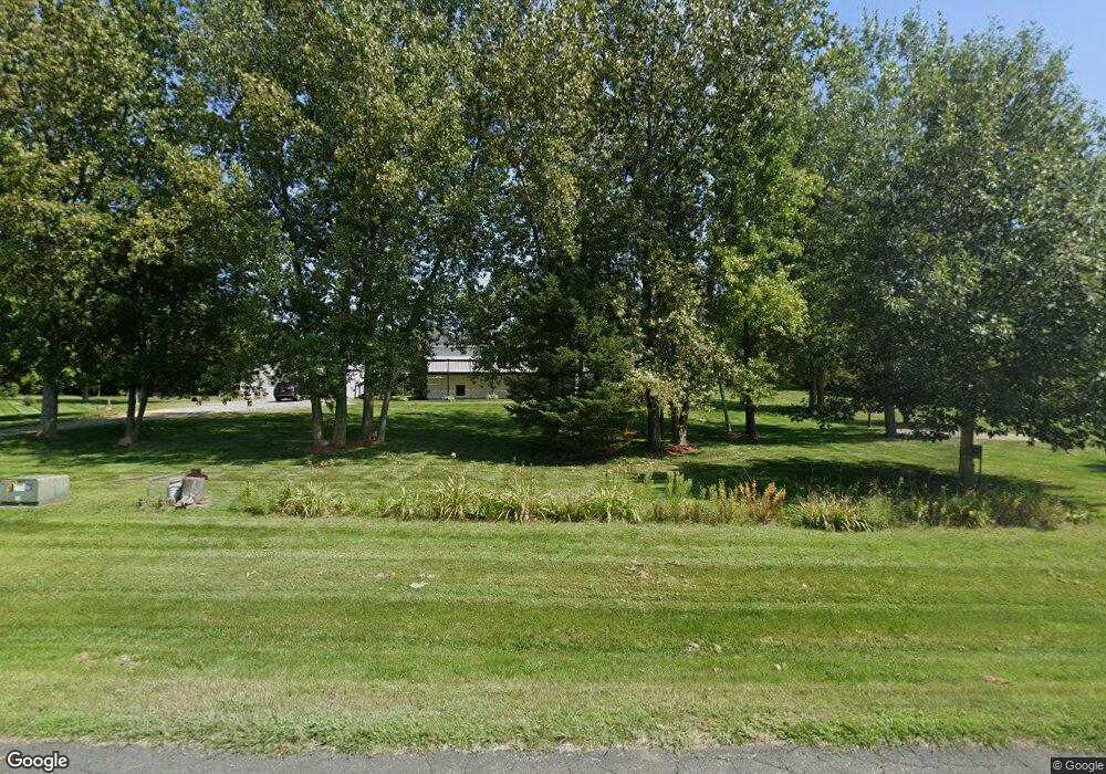
771 112th St Roberts, WI 54023
Warren NeighborhoodEstimated Value: $421,000 - $623,000
3
Beds
3
Baths
--
Sq Ft
2.75
Acres
About This Home
This home is located at 771 112th St, Roberts, WI 54023 and is currently estimated at $488,553. 771 112th St is a home located in St. Croix County with nearby schools including Saint Croix Central Elementary School, Saint Croix Central Middle School, and St. Croix Central High School.
Ownership History
Date
Name
Owned For
Owner Type
Purchase Details
Closed on
Feb 3, 2022
Sold by
Hardtke Mary L
Bought by
Mary L Hardtke Revocable Trust
Current Estimated Value
Purchase Details
Closed on
Jun 16, 2021
Sold by
Hardtke Kenneth H
Bought by
Hardtke Mary L
Purchase Details
Closed on
Sep 21, 2012
Sold by
Hiawatha National Bank
Bought by
Hardtke Kenneth H and Hardtke Mary L
Purchase Details
Closed on
Jun 7, 2012
Sold by
Dickenson Blake B
Bought by
Hiawatha National Bank
Create a Home Valuation Report for This Property
The Home Valuation Report is an in-depth analysis detailing your home's value as well as a comparison with similar homes in the area
Home Values in the Area
Average Home Value in this Area
Purchase History
| Date | Buyer | Sale Price | Title Company |
|---|---|---|---|
| Mary L Hardtke Revocable Trust | -- | -- | |
| Hardtke Mary L | $259,400 | Mary Hardtke | |
| Hardtke Kenneth H | $85,000 | None Available | |
| Hiawatha National Bank | -- | None Available |
Source: Public Records
Tax History Compared to Growth
Tax History
| Year | Tax Paid | Tax Assessment Tax Assessment Total Assessment is a certain percentage of the fair market value that is determined by local assessors to be the total taxable value of land and additions on the property. | Land | Improvement |
|---|---|---|---|---|
| 2024 | $43 | $398,400 | $106,300 | $292,100 |
| 2023 | $3,764 | $240,500 | $70,300 | $170,200 |
| 2022 | $3,469 | $240,500 | $70,300 | $170,200 |
| 2021 | $3,544 | $240,500 | $70,300 | $170,200 |
| 2020 | $3,392 | $240,500 | $70,300 | $170,200 |
| 2019 | $3,226 | $240,500 | $70,300 | $170,200 |
| 2018 | $3,109 | $240,500 | $70,300 | $170,200 |
| 2017 | $3,290 | $173,300 | $40,800 | $132,500 |
| 2016 | $3,290 | $173,300 | $40,800 | $132,500 |
| 2015 | $2,931 | $173,300 | $40,800 | $132,500 |
| 2014 | $2,523 | $151,400 | $40,800 | $110,600 |
| 2013 | $2,113 | $133,800 | $40,800 | $93,000 |
Source: Public Records
Map
Nearby Homes
- 880 110th St
- 628 Franklin St
- 640 Franklin St
- 603 S Division St
- 405 S Division St
- 611 Field Point St
- 617 Field Point St
- 619 Field Point St
- 112 W Brewer St
- 200 N Vine St
- 610 Field Point St
- 622 Field Point St
- 643 100th St
- 1104 60th Ave
- 1224 US Highway 12
- 256 Dakota Ave
- 249 (Lot 240) Dakota Ave
- 1129 Briarwood Blvd
- 247 Eagle Ridge Dr
- 238 Eagle Ridge Dr
- 785 112th St
- 1122 76th Ave
- XXX 112th St
- 777 112th St
- 1127 80th Ave
- 797 112th St
- 771 771 112th-Street-
- 751 112th St
- 1133 80th Ave
- 784 112th St
- 780 112th St
- 1121 80th Ave
- 796 796 112th-Street-
- 796 112th St
- 1128 76th Ave
- 1126 80th Ave
- 1118 80th Ave
- 750 112th St
- 1114 1114 80th Ave
- 1114 1114 80th-Avenue-