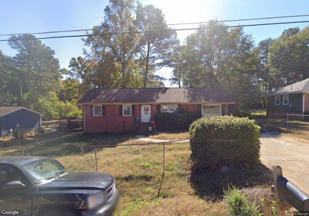
771 Bluebird Dr SE Unit 10 Conyers, GA 30094
Estimated Value: $200,000 - $260,000
4
Beds
2
Baths
1,848
Sq Ft
$121/Sq Ft
Est. Value
About This Home
This home is located at 771 Bluebird Dr SE Unit 10, Conyers, GA 30094 and is currently estimated at $223,147, approximately $120 per square foot. 771 Bluebird Dr SE Unit 10 is a home located in Rockdale County with nearby schools including Honey Creek Elementary School, Edwards Middle School, and Heritage High School.
Ownership History
Date
Name
Owned For
Owner Type
Purchase Details
Closed on
Jun 25, 2018
Sold by
Williams Tiffany D
Bought by
Durrett Daniel and Durrett Chelsey
Current Estimated Value
Home Financials for this Owner
Home Financials are based on the most recent Mortgage that was taken out on this home.
Original Mortgage
$90,250
Outstanding Balance
$78,388
Interest Rate
4.6%
Mortgage Type
New Conventional
Estimated Equity
$144,759
Create a Home Valuation Report for This Property
The Home Valuation Report is an in-depth analysis detailing your home's value as well as a comparison with similar homes in the area
Home Values in the Area
Average Home Value in this Area
Purchase History
| Date | Buyer | Sale Price | Title Company |
|---|---|---|---|
| Durrett Daniel | $95,000 | -- |
Source: Public Records
Mortgage History
| Date | Status | Borrower | Loan Amount |
|---|---|---|---|
| Open | Durrett Daniel | $90,250 |
Source: Public Records
Tax History Compared to Growth
Tax History
| Year | Tax Paid | Tax Assessment Tax Assessment Total Assessment is a certain percentage of the fair market value that is determined by local assessors to be the total taxable value of land and additions on the property. | Land | Improvement |
|---|---|---|---|---|
| 2024 | $3,214 | $80,120 | $18,000 | $62,120 |
| 2023 | $3,173 | $77,080 | $18,000 | $59,080 |
| 2022 | $2,511 | $60,400 | $11,360 | $49,040 |
| 2021 | $1,957 | $47,080 | $8,800 | $38,280 |
| 2020 | $1,911 | $44,840 | $7,600 | $37,240 |
| 2019 | $1,564 | $34,840 | $6,000 | $28,840 |
| 2018 | $1,273 | $28,240 | $4,000 | $24,240 |
| 2017 | $1,141 | $25,080 | $4,000 | $21,080 |
| 2016 | $712 | $15,640 | $3,000 | $12,640 |
| 2015 | $700 | $15,360 | $2,720 | $12,640 |
| 2014 | $707 | $15,360 | $2,720 | $12,640 |
| 2013 | -- | $33,200 | $6,040 | $27,160 |
Source: Public Records
Map
Nearby Homes
- 832 Virginia Ct SE
- 3165 Goode Rd
- 853 Waterside Dr SE
- 3014 Lakeridge Dr SE
- 3027 Lakeridge Dr SE
- 726 Shoreline Trail SE
- 3265 Highway 20 SE
- 3021 Lakeridge Dr SE
- 812 Raintree Way SE
- 2987 Landmark Dr SE
- 1001 Fox St SE
- 820 Bridgewater Way SE
- 665 Huron Ct SE
- 2923 Raintree Dr SE
- 3180 Highway 20 SE
- 2924 Raintree Dr SE
- 3446 Richmond Dr SE
- 1813 Holmsey Cir
- 3488 Richmond Dr SE
- 693 Deering Rd SE
- 771 Bluebird Dr SE
- 761 Bluebird Dr SE Unit 1
- 781 Bluebird Dr SE
- 791 Bluebird Dr SE
- 751 Bluebird Dr SE Unit 1
- 790 Virginia Ct SE
- 770 Bluebird Dr SE
- 780 Bluebird Dr SE
- 760 Bluebird Dr SE
- 0 Bluebird Dr SE Unit 8570588
- 0 Bluebird Dr SE Unit 8535819
- 0 Bluebird Dr SE Unit 8322832
- 0 Bluebird Dr SE Unit 8199798
- 0 Bluebird Dr SE Unit 8021175
- 0 Bluebird Dr SE Unit 8260721
- 0 Bluebird Dr SE Unit 8775398
- 0 Bluebird Dr SE Unit 8120144
- 0 Bluebird Dr SE Unit 7374307
- 0 Bluebird Dr SE Unit 3105849
- 0 Bluebird Dr SE Unit 3250055