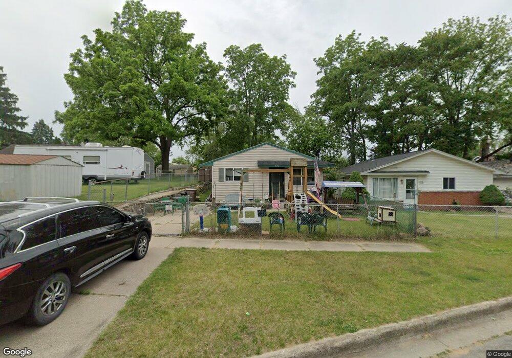
771 Crittenden St Pontiac, MI 48340
Estimated Value: $50,000 - $157,000
3
Beds
1
Bath
880
Sq Ft
$123/Sq Ft
Est. Value
About This Home
This home is located at 771 Crittenden St, Pontiac, MI 48340 and is currently estimated at $107,921, approximately $122 per square foot. 771 Crittenden St is a home located in Oakland County with nearby schools including Walt Whitman Elementary School, Pontiac Middle School, and Pontiac High School.
Ownership History
Date
Name
Owned For
Owner Type
Purchase Details
Closed on
May 28, 2004
Sold by
Holler Ronald T and Holler Hazel
Bought by
Ramirez Francisco and Ramirez Blanca
Current Estimated Value
Home Financials for this Owner
Home Financials are based on the most recent Mortgage that was taken out on this home.
Original Mortgage
$19,400
Interest Rate
6.06%
Mortgage Type
Stand Alone Second
Purchase Details
Closed on
Dec 12, 1997
Sold by
Hittinger Robert A
Bought by
Holler Ronald T
Purchase Details
Closed on
Aug 28, 1995
Sold by
Hittinger Robert A
Bought by
Holler Ronald T
Create a Home Valuation Report for This Property
The Home Valuation Report is an in-depth analysis detailing your home's value as well as a comparison with similar homes in the area
Home Values in the Area
Average Home Value in this Area
Purchase History
| Date | Buyer | Sale Price | Title Company |
|---|---|---|---|
| Ramirez Francisco | $97,000 | Metropolitan Title Company | |
| Holler Ronald T | -- | -- | |
| Holler Ronald T | $32,400 | -- |
Source: Public Records
Mortgage History
| Date | Status | Borrower | Loan Amount |
|---|---|---|---|
| Closed | Ramirez Francisco | $19,400 | |
| Open | Ramirez Francisco | $77,600 |
Source: Public Records
Tax History Compared to Growth
Tax History
| Year | Tax Paid | Tax Assessment Tax Assessment Total Assessment is a certain percentage of the fair market value that is determined by local assessors to be the total taxable value of land and additions on the property. | Land | Improvement |
|---|---|---|---|---|
| 2024 | $549 | $36,600 | $0 | $0 |
| 2023 | $523 | $32,660 | $0 | $0 |
| 2022 | $571 | $29,280 | $0 | $0 |
| 2021 | $556 | $25,450 | $0 | $0 |
| 2020 | $476 | $22,860 | $0 | $0 |
| 2019 | $531 | $19,810 | $0 | $0 |
| 2018 | $502 | $16,520 | $0 | $0 |
| 2017 | $480 | $15,760 | $0 | $0 |
| 2016 | $508 | $13,710 | $0 | $0 |
| 2015 | -- | $13,340 | $0 | $0 |
| 2014 | -- | $12,710 | $0 | $0 |
| 2011 | -- | $15,780 | $0 | $0 |
Source: Public Records
Map
Nearby Homes
- 0000 Blaine Ave
- 709 Kinney Rd
- 686 Lounsbury Ave
- 793 Orlando Ave
- 201 Parkdale Ave
- 841 Orlando Ave
- 0 Cesar Chavez Ave Unit 20240016653
- 137 Dresden Ave
- 119 W Kennett Rd
- 54 Hudson Ave
- 109 W Kennett Rd
- 32 N Merrimac St
- 1017 Cherrylawn Dr
- 998 Dewey St
- 78 Cadillac St
- 255 W Rutgers Ave
- 111 Hamilton St
- 123 Adelaide St
- 33 W Beverly Ave
- 321 Tom Ave Unit 70
- 775 Crittenden St
- 779 Crittenden St
- 709 Kinney Rd Unit Bldg-Unit
- 717 Kinney Rd
- 772 Blaine Ave
- 705 Kinney Rd
- 725 Kinney Rd
- 783 Crittenden St
- 780 Blaine Ave
- 772 Crittenden St
- 695 Kinney Rd
- 729 Kinney Rd
- 780 Crittenden St
- 793 Crittenden St
- 722 Kinney Rd
- 792 Blaine Ave
- 735 Kinney Rd
- 694 Kinney Rd
- 802 Blaine Ave
- 710 Kinney Rd