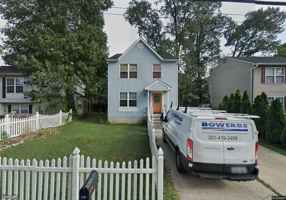
771 Duvall Hwy Pasadena, MD 21122
Green Haven NeighborhoodEstimated Value: $410,673 - $437,000
--
Bed
2
Baths
1,364
Sq Ft
$308/Sq Ft
Est. Value
About This Home
This home is located at 771 Duvall Hwy, Pasadena, MD 21122 and is currently estimated at $420,668, approximately $308 per square foot. 771 Duvall Hwy is a home located in Anne Arundel County with nearby schools including High Point Elementary School, Northeast Middle School, and Northeast High School.
Ownership History
Date
Name
Owned For
Owner Type
Purchase Details
Closed on
Oct 22, 2003
Sold by
Skillman Ronald M
Bought by
Rayhart Gregory S
Current Estimated Value
Purchase Details
Closed on
Jun 8, 1992
Sold by
W E S Inc
Bought by
Skillman Ronald M
Home Financials for this Owner
Home Financials are based on the most recent Mortgage that was taken out on this home.
Original Mortgage
$118,650
Interest Rate
8.59%
Purchase Details
Closed on
Oct 21, 1991
Sold by
Hoerger Annie
Bought by
W E S Inc
Create a Home Valuation Report for This Property
The Home Valuation Report is an in-depth analysis detailing your home's value as well as a comparison with similar homes in the area
Home Values in the Area
Average Home Value in this Area
Purchase History
| Date | Buyer | Sale Price | Title Company |
|---|---|---|---|
| Rayhart Gregory S | $213,300 | -- | |
| Skillman Ronald M | $117,200 | -- | |
| W E S Inc | $54,000 | -- |
Source: Public Records
Mortgage History
| Date | Status | Borrower | Loan Amount |
|---|---|---|---|
| Previous Owner | Skillman Ronald M | $118,650 | |
| Closed | Rayhart Gregory S | -- |
Source: Public Records
Tax History Compared to Growth
Tax History
| Year | Tax Paid | Tax Assessment Tax Assessment Total Assessment is a certain percentage of the fair market value that is determined by local assessors to be the total taxable value of land and additions on the property. | Land | Improvement |
|---|---|---|---|---|
| 2025 | $3,652 | $311,367 | -- | -- |
| 2024 | $3,652 | $287,600 | $141,700 | $145,900 |
| 2023 | $3,492 | $276,367 | $0 | $0 |
| 2022 | $2,771 | $265,133 | $0 | $0 |
| 2021 | $6,167 | $253,900 | $121,700 | $132,200 |
| 2020 | $2,976 | $247,533 | $0 | $0 |
| 2019 | $134 | $241,167 | $0 | $0 |
| 2018 | $134 | $234,800 | $111,700 | $123,100 |
| 2017 | $2,408 | $231,233 | $0 | $0 |
| 2016 | $134 | $227,667 | $0 | $0 |
| 2015 | $134 | $224,100 | $0 | $0 |
| 2014 | -- | $223,600 | $0 | $0 |
Source: Public Records
Map
Nearby Homes
- 773 Duvall Hwy
- 769 Duvall Hwy
- 770 207th St
- 772 207th St
- 768 207th St
- 767 Duvall Hwy
- 7814 E Shore Road B
- 7814 Shore Road B E
- 7812 E Shore Rd
- 7814A E Shore Rd
- 7814 E Shore Rd
- 770 Duvall Hwy
- 772 Duvall Hwy
- 7814B E Shore Rd
- 7810A E Shore Rd
- 766 207th St
- 768 Duvall Hwy
- 7810B E Shore Rd
- 765 Duvall Hwy
- 7816 E Shore Rd