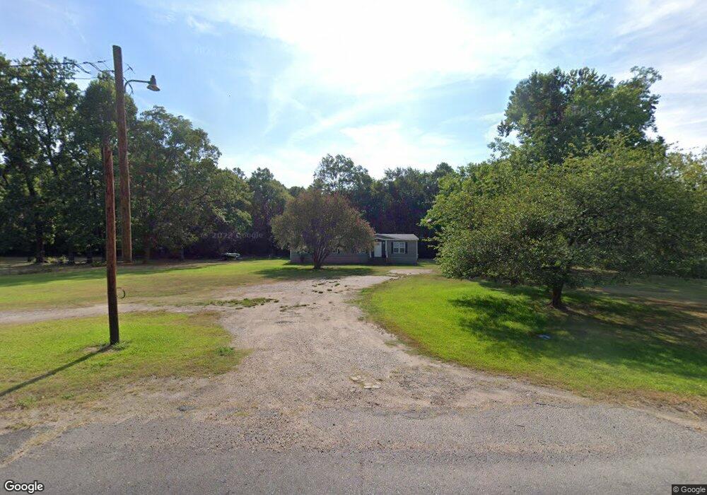
771 Highway 1206 Deville, LA 71328
Deville NeighborhoodEstimated Value: $129,532 - $225,000
Studio
--
Bath
--
Sq Ft
217,800
Sq Ft Lot
About This Home
This home is located at 771 Highway 1206, Deville, LA 71328 and is currently estimated at $179,883. 771 Highway 1206 is a home located in Rapides Parish with nearby schools including Buckeye Elementary School, Hayden R. Lawrence Upper Elementary School, and Buckeye High School.
Ownership History
Date
Name
Owned For
Owner Type
Purchase Details
Closed on
May 30, 2024
Sold by
Lyles Joel
Bought by
Mabou Noble and Mabou Jackie
Current Estimated Value
Purchase Details
Closed on
Jun 27, 2013
Sold by
Hayes Christa Dana Mabou Crawford
Bought by
Lyles Joel
Home Financials for this Owner
Home Financials are based on the most recent Mortgage that was taken out on this home.
Original Mortgage
$79,591
Interest Rate
3.83%
Mortgage Type
New Conventional
Create a Home Valuation Report for This Property
The Home Valuation Report is an in-depth analysis detailing your home's value as well as a comparison with similar homes in the area
Home Values in the Area
Average Home Value in this Area
Purchase History
| Date | Buyer | Sale Price | Title Company |
|---|---|---|---|
| Mabou Noble | -- | None Listed On Document | |
| Lyles Joel | $75,000 | None Available |
Source: Public Records
Mortgage History
| Date | Status | Borrower | Loan Amount |
|---|---|---|---|
| Previous Owner | Lyles Joel | $79,591 |
Source: Public Records
Tax History
| Year | Tax Paid | Tax Assessment Tax Assessment Total Assessment is a certain percentage of the fair market value that is determined by local assessors to be the total taxable value of land and additions on the property. | Land | Improvement |
|---|---|---|---|---|
| 2024 | $81 | $8,200 | $2,700 | $5,500 |
| 2023 | $35 | $7,800 | $2,600 | $5,200 |
| 2022 | $915 | $7,800 | $2,600 | $5,200 |
| 2021 | $907 | $7,800 | $2,600 | $5,200 |
| 2020 | $1,055 | $7,800 | $2,600 | $5,200 |
| 2019 | $1,010 | $7,500 | $2,500 | $5,000 |
| 2018 | $0 | $7,500 | $2,500 | $5,000 |
| 2017 | $0 | $7,500 | $2,500 | $5,000 |
| 2016 | $1,139 | $7,500 | $2,500 | $5,000 |
| 2015 | $1,146 | $7,500 | $2,500 | $5,000 |
| 2014 | $1,146 | $7,500 | $2,500 | $5,000 |
| 2013 | $1,230 | $7,500 | $2,500 | $5,000 |
Source: Public Records
Map
Nearby Homes
- 63 Mabou Hill Rd
- 96 Bell Rd
- 0 Louisiana 1207
- 0 Donnie Price Rd
- 0 Louisiana 1206
- 0 Highway 1207
- 57 Deville Cutoff Rd
- 7259 Deville Estates Dr
- 7265 Deville Estates Dr
- 35 Trudy Rd
- Lot 18 Deville Estates Dr Unit 18
- Lot 19 Deville Estates Dr Unit 19
- 0 Paul Rd
- 7260 Deville Estates Dr
- 7223 Deville Estates Dr
- TBD Paul Rd
- TBD Deville Estates Dr
- 0 Louisiana 115 Unit 2517300
- TBD Hwy 115
- 211 Big Island Loop
- 775 Louisiana 1206
- 765 Highway 1206
- 783 Highway 1206
- 755 Louisiana 1206
- 755 Highway 1206
- 724 Highway 1206
- 810 Highway 1206
- 743 Highway 1206
- 788 Highway 1206
- 800 Highway 1206
- 759 Highway 1206
- 723 Highway 1206
- 715 Highway 1206
- 715 Louisiana 1206
- 706 Highway 1206
- 41 Edgar Deville Rd
- 1589 Highway 115
- 707 Louisiana 1206
- 43 E Deville Rd
- 52 E Deville Rd Unit EDGR
Your Personal Tour Guide
Ask me questions while you tour the home.