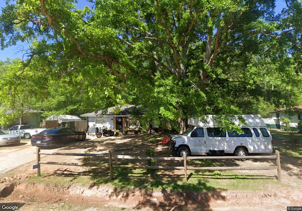
771 Michael St Thomaston, GA 30286
Estimated Value: $143,000 - $196,000
2
Beds
2
Baths
1,248
Sq Ft
$131/Sq Ft
Est. Value
About This Home
This home is located at 771 Michael St, Thomaston, GA 30286 and is currently estimated at $164,034, approximately $131 per square foot. 771 Michael St is a home located in Upson County with nearby schools including Upson-Lee South Elementary School, Upson-Lee North Elementary School, and Upson-Lee Middle School.
Ownership History
Date
Name
Owned For
Owner Type
Purchase Details
Closed on
Dec 5, 2008
Sold by
Deutsche Bank National Tru
Bought by
Pollard Ronald
Current Estimated Value
Home Financials for this Owner
Home Financials are based on the most recent Mortgage that was taken out on this home.
Original Mortgage
$33,274
Interest Rate
6.1%
Mortgage Type
New Conventional
Purchase Details
Closed on
Sep 4, 2007
Sold by
Not Provided
Bought by
Pollard Ronald
Create a Home Valuation Report for This Property
The Home Valuation Report is an in-depth analysis detailing your home's value as well as a comparison with similar homes in the area
Home Values in the Area
Average Home Value in this Area
Purchase History
| Date | Buyer | Sale Price | Title Company |
|---|---|---|---|
| Pollard Ronald | $37,800 | -- | |
| Pollard Ronald | $56,700 | -- |
Source: Public Records
Mortgage History
| Date | Status | Borrower | Loan Amount |
|---|---|---|---|
| Closed | Pollard Ronald | $33,274 |
Source: Public Records
Tax History Compared to Growth
Tax History
| Year | Tax Paid | Tax Assessment Tax Assessment Total Assessment is a certain percentage of the fair market value that is determined by local assessors to be the total taxable value of land and additions on the property. | Land | Improvement |
|---|---|---|---|---|
| 2024 | $1,277 | $41,274 | $4,000 | $37,274 |
| 2023 | $1,084 | $39,756 | $4,000 | $35,756 |
| 2022 | $844 | $30,442 | $4,000 | $26,442 |
| 2021 | $682 | $25,874 | $4,000 | $21,874 |
| 2020 | $694 | $24,605 | $4,000 | $20,605 |
| 2019 | $696 | $22,702 | $4,000 | $18,702 |
| 2018 | $672 | $21,902 | $3,200 | $18,702 |
| 2017 | $656 | $19,519 | $2,000 | $17,519 |
| 2016 | $646 | $18,909 | $2,000 | $16,909 |
| 2015 | $647 | $18,909 | $2,000 | $16,909 |
| 2014 | $647 | $18,909 | $2,000 | $16,909 |
Source: Public Records
Map
Nearby Homes
- 657 Tom McKinley Rd
- 1205 Shady Ln
- 1412 & 1418 Yatesville Hwy
- 201 Creekside Manor Dr
- 2615 Barnesville Hwy
- 216 E Moores Crossing Rd
- LOT 193 Morningside Ct
- LOT 195 Morningside Ct
- LOT 194 Morningside Ct
- 524 Sunnyland Dr
- 556 Sunnyland Dr
- 2724 Barnesville St
- 3006 Barnesville Hwy
- LOT 17 Smith Rd
- LOT 19 Smith Rd
- 108 Avenue G
- 113 Park Ln
- 0 W Moores Crossing Rd Unit 10605207
- 87 Avenue H
- 807 Triune Mill Rd
- 773 Michael St
- 772 Michael St
- 769 Michael St
- 775 Michael St
- 774 Michael St
- 767 Michael St
- 768 Michael St
- 0 Michael St Unit 20174229
- 735 Steven St
- 766 Michael St
- 765 Michael St
- 733 Steven St
- 739 Steven St
- 779 Michael St
- 731 Steven St
- 778 Michael St
- 764 Michael St
- 763 Michael St
- 741 Steven St
- 729 Kristi St