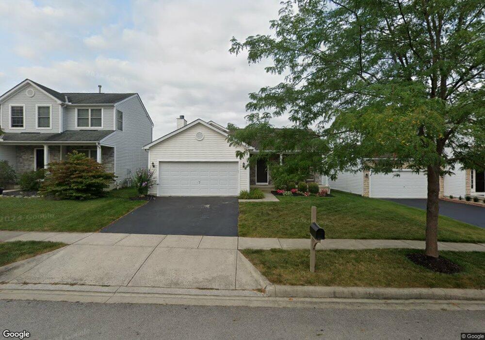
771 Orwell St Lithopolis, OH 43136
Bloom NeighborhoodEstimated Value: $304,792 - $365,000
4
Beds
3
Baths
1,136
Sq Ft
$299/Sq Ft
Est. Value
About This Home
This home is located at 771 Orwell St, Lithopolis, OH 43136 and is currently estimated at $339,698, approximately $299 per square foot. 771 Orwell St is a home located in Fairfield County with nearby schools including Bloom Carroll Primary School, Bloom Carroll Intermediate School, and Bloom-Carroll Middle School.
Ownership History
Date
Name
Owned For
Owner Type
Purchase Details
Closed on
May 15, 2005
Sold by
Dominion Homes Inc
Bought by
Pratt Jason A and Pratt Catherine E
Current Estimated Value
Home Financials for this Owner
Home Financials are based on the most recent Mortgage that was taken out on this home.
Original Mortgage
$155,296
Interest Rate
6.62%
Mortgage Type
FHA
Create a Home Valuation Report for This Property
The Home Valuation Report is an in-depth analysis detailing your home's value as well as a comparison with similar homes in the area
Home Values in the Area
Average Home Value in this Area
Purchase History
| Date | Buyer | Sale Price | Title Company |
|---|---|---|---|
| Pratt Jason A | -- | Alliance Title |
Source: Public Records
Mortgage History
| Date | Status | Borrower | Loan Amount |
|---|---|---|---|
| Closed | Pratt Jason A | $155,296 |
Source: Public Records
Tax History
| Year | Tax Paid | Tax Assessment Tax Assessment Total Assessment is a certain percentage of the fair market value that is determined by local assessors to be the total taxable value of land and additions on the property. | Land | Improvement |
|---|---|---|---|---|
| 2025 | $6,067 | $90,550 | $31,920 | $58,630 |
| 2024 | $6,067 | $76,410 | $8,570 | $67,840 |
| 2023 | $3,206 | $76,410 | $8,570 | $67,840 |
| 2022 | $3,231 | $76,410 | $8,570 | $67,840 |
| 2021 | $2,837 | $60,970 | $6,380 | $54,590 |
| 2020 | $2,868 | $60,970 | $6,380 | $54,590 |
| 2019 | $2,877 | $60,970 | $6,380 | $54,590 |
| 2018 | $2,432 | $50,840 | $6,380 | $44,460 |
| 2017 | $2,289 | $52,450 | $5,380 | $47,070 |
| 2016 | $2,254 | $52,450 | $5,380 | $47,070 |
| 2015 | $2,224 | $50,380 | $5,380 | $45,000 |
| 2014 | $2,150 | $50,380 | $5,380 | $45,000 |
| 2013 | $2,150 | $50,380 | $5,380 | $45,000 |
Source: Public Records
Map
Nearby Homes
- 146 Poe Ave
- 891 Orwell St
- 94 Sandburg Dr
- 197 Faulkner Dr
- 248 Faulkner Dr
- 1375 Hansberry Dr
- 557 Eastman Ave
- 89 Wheatley St
- 607 Eastman Ave
- 777 Faulkner Dr
- 0 Columbus St Unit 225023784
- 6495 Saylor St
- 290 Jonathan Trail
- 5225 Lithopolis Winchester Nw Rd
- 5795 Lithopolis Winchester Rd NW
- 19 W Columbus St
- 678 Green Forest Place
- 6065 Wilson Dr
- 680 Crestview Dr
- 7495 Creek Ct
- 771 Orwell St Unit 58
- 781 Orwell St
- 761 Orwell St
- 791 Orwell St
- 751 Orwell St
- 770 Salinger Dr
- 770 Salinger Dr Unit 41
- 760 Salinger Dr
- 780 Salinger Dr
- 136 Poe Ave
- 750 Salinger Dr
- 750 Salinger Dr Unit 39
- 790 Salinger Dr Unit 43
- 741 Orwell St
- 758 Orwell St
- 112 Twain Ave
- 100 Twain Ave
- 740 Salinger Dr
- 90 Twain Ave
- 731 Orwell St
Your Personal Tour Guide
Ask me questions while you tour the home.