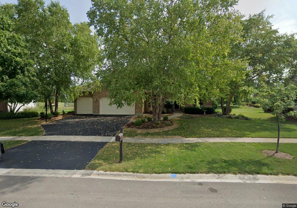
771 Samantha Cir Geneva, IL 60134
Southwest Geneva NeighborhoodEstimated Value: $568,000 - $638,000
5
Beds
3
Baths
2,827
Sq Ft
$212/Sq Ft
Est. Value
About This Home
This home is located at 771 Samantha Cir, Geneva, IL 60134 and is currently estimated at $599,044, approximately $211 per square foot. 771 Samantha Cir is a home located in Kane County with nearby schools including Heartland Elementary School, Geneva Community High School, and St. Peter School.
Ownership History
Date
Name
Owned For
Owner Type
Purchase Details
Closed on
Aug 1, 1996
Sold by
Ed Mcnally Custom Homes Inc
Bought by
Dainko John R and Dainko Judith S
Current Estimated Value
Home Financials for this Owner
Home Financials are based on the most recent Mortgage that was taken out on this home.
Original Mortgage
$160,000
Interest Rate
8.33%
Create a Home Valuation Report for This Property
The Home Valuation Report is an in-depth analysis detailing your home's value as well as a comparison with similar homes in the area
Home Values in the Area
Average Home Value in this Area
Purchase History
| Date | Buyer | Sale Price | Title Company |
|---|---|---|---|
| Dainko John R | $275,000 | Chicago Title Insurance Co |
Source: Public Records
Mortgage History
| Date | Status | Borrower | Loan Amount |
|---|---|---|---|
| Closed | Dainko John R | $160,000 |
Source: Public Records
Tax History Compared to Growth
Tax History
| Year | Tax Paid | Tax Assessment Tax Assessment Total Assessment is a certain percentage of the fair market value that is determined by local assessors to be the total taxable value of land and additions on the property. | Land | Improvement |
|---|---|---|---|---|
| 2024 | $11,418 | $157,147 | $34,359 | $122,788 |
| 2023 | $11,131 | $142,860 | $31,235 | $111,625 |
| 2022 | $10,647 | $132,744 | $29,023 | $103,721 |
| 2021 | $10,336 | $127,810 | $27,944 | $99,866 |
| 2020 | $10,217 | $125,859 | $27,517 | $98,342 |
| 2019 | $10,189 | $123,476 | $26,996 | $96,480 |
| 2018 | $10,506 | $127,350 | $26,996 | $100,354 |
| 2017 | $10,388 | $123,954 | $26,276 | $97,678 |
| 2016 | $10,440 | $122,279 | $25,921 | $96,358 |
| 2015 | -- | $116,256 | $24,644 | $91,612 |
| 2014 | -- | $113,443 | $24,644 | $88,799 |
| 2013 | -- | $113,443 | $24,644 | $88,799 |
Source: Public Records
Map
Nearby Homes
- 715 Samantha Cir
- 2927 Caldwell Ln Unit 2
- 823 Sunflower Dr
- 948 Bluestem Dr
- 38W335 Killey Ln
- 2767 Stone Cir
- 2771 Stone Cir
- 2747 Stone Cir
- 2749 Stone Cir
- 2751 Stone Cir
- 2753 Stone Cir
- 2769 Stone Cir
- 2671 Stone Cir Unit 208
- 2692 Stone Cir Unit 203
- 2721 Lorraine Cir
- 2694 Berkshire Dr Unit 8
- 839 S Randall Rd
- 424 Bluegrass Ln
- 269 Larsdotter Ln
- 2510 Lorraine Cir
- 779 Samantha Cir
- 763 Samantha Cir
- 766 Samantha Cir
- 755 Samantha Cir
- 778 Samantha Cir
- 752 Samantha Cir
- 809 Samantha Cir
- 747 Samantha Cir
- 3397 Osprey Ct
- 3373 Osprey Ct
- 658 Lewis Rd
- 598 Lewis Rd
- 736 Samantha Cir
- 739 Samantha Cir
- 817 Samantha Cir
- 692 Lewis Rd Unit 3
- 574 Lewis Rd
- 728 Samantha Cir
- LOT 52 Osprey Ct
- 812 Samantha Cir