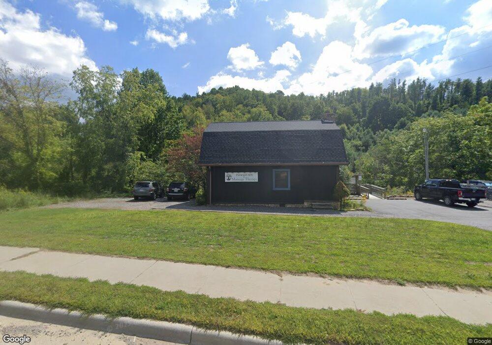
771 W Us Highway 19e Bypass Burnsville, NC 28714
Estimated Value: $259,033
--
Bed
--
Bath
1,811
Sq Ft
$143/Sq Ft
Est. Value
About This Home
This home is located at 771 W Us Highway 19e Bypass, Burnsville, NC 28714 and is currently estimated at $259,033, approximately $143 per square foot. 771 W Us Highway 19e Bypass is a home located in Yancey County with nearby schools including Mountain Heritage High School, Yancey County Christian School, and Arthur Morgan School.
Ownership History
Date
Name
Owned For
Owner Type
Purchase Details
Closed on
Nov 9, 2021
Sold by
Hogan Kathleen
Bought by
Wallace Kore Lo Eliza and Wallace Mark Adon
Current Estimated Value
Home Financials for this Owner
Home Financials are based on the most recent Mortgage that was taken out on this home.
Original Mortgage
$150,000
Outstanding Balance
$137,449
Interest Rate
2.99%
Mortgage Type
New Conventional
Estimated Equity
$121,584
Purchase Details
Closed on
Oct 13, 2009
Sold by
Luxo Inc
Bought by
Hogan John W and Hogan Kathleen
Home Financials for this Owner
Home Financials are based on the most recent Mortgage that was taken out on this home.
Original Mortgage
$199,200
Interest Rate
5.04%
Mortgage Type
Commercial
Create a Home Valuation Report for This Property
The Home Valuation Report is an in-depth analysis detailing your home's value as well as a comparison with similar homes in the area
Home Values in the Area
Average Home Value in this Area
Purchase History
| Date | Buyer | Sale Price | Title Company |
|---|---|---|---|
| Wallace Kore Lo Eliza | $195,000 | None Available | |
| Hogan John W | $249,000 | -- |
Source: Public Records
Mortgage History
| Date | Status | Borrower | Loan Amount |
|---|---|---|---|
| Open | Wallace Kore Lo Eliza | $150,000 | |
| Previous Owner | Hogan John W | $199,200 |
Source: Public Records
Tax History Compared to Growth
Tax History
| Year | Tax Paid | Tax Assessment Tax Assessment Total Assessment is a certain percentage of the fair market value that is determined by local assessors to be the total taxable value of land and additions on the property. | Land | Improvement |
|---|---|---|---|---|
| 2025 | $1,571 | $261,800 | $79,700 | $182,100 |
| 2024 | $1,571 | $261,800 | $79,700 | $182,100 |
| 2023 | $1,635 | $240,380 | $42,400 | $197,980 |
| 2022 | $1,602 | $240,380 | $42,400 | $197,980 |
| 2021 | $1,635 | $240,380 | $42,400 | $197,980 |
| 2020 | $1,635 | $240,380 | $42,400 | $197,980 |
| 2019 | $1,623 | $240,380 | $42,400 | $197,980 |
| 2018 | $1,623 | $240,380 | $42,400 | $197,980 |
| 2017 | $1,623 | $240,380 | $42,400 | $197,980 |
| 2016 | $1,587 | $240,380 | $42,400 | $197,980 |
| 2015 | $1,280 | $228,510 | $42,400 | $186,110 |
| 2014 | $1,280 | $228,510 | $42,400 | $186,110 |
Source: Public Records
Map
Nearby Homes
- Tract 2 Hill Top Dr
- Tract 1 & 2 Hill Top Dr
- 11 Coco
- 51 Barebridge Fields Rd Unit 51
- 12 Robertson St
- 0 Sunrise Ln Unit CAR4308766
- 00000 Barebridge Dr Unit 9
- 118 Robertson St
- 410 Mother In Law Ln
- 330 Bowditch St Unit 2D
- 330 Bowditch St Unit 2C
- 330 Bowditch St Unit 2B
- 32 Highway 19 E
- Tract 1 Hill Top Dr
- 144 Byrd St
- 200 Red Twig Ln Unit 201
- 110 Crest View Rd
- 0000 High Peak Dr Unit 16
- 92 Mountain View Rd
- 100 Red Twig Ln Unit 103
- 771 W Us Highway 19 E
- 25 W Us Highway 19 E
- 701 W Main St
- 724 W Main St
- 64 Fannie Ln
- 68 Love Fox Rd
- 72 Love Fox Rd
- 700 W Main St
- 90 Love Fox Rd
- 21 Cherry Ln
- 20 Cherry Ln
- 118 Love Fox Rd
- 680 W Main St
- 37 Cherry Ln
- 26 Cherry Ln
- 80 Ferguson Hill Rd
- 54 W Burnsville Chur Rd
- 204 Hill Top Dr
- 42 W Burnsville Chur Rd
- 66 Maple Grove Ln