7710 Shady Ridge Rd Deming, WA 98244
Estimated Value: $570,406 - $961,000
3
Beds
3
Baths
2,511
Sq Ft
$301/Sq Ft
Est. Value
About This Home
This home is located at 7710 Shady Ridge Rd, Deming, WA 98244 and is currently estimated at $756,852, approximately $301 per square foot. 7710 Shady Ridge Rd is a home located in Whatcom County with nearby schools including Mount Baker Senior High School.
Ownership History
Date
Name
Owned For
Owner Type
Purchase Details
Closed on
Mar 9, 2004
Sold by
Anderson Russell C and Anderson Judith D
Bought by
Halverson Shawn A and Halverson Debra L
Current Estimated Value
Home Financials for this Owner
Home Financials are based on the most recent Mortgage that was taken out on this home.
Original Mortgage
$268,000
Outstanding Balance
$125,076
Interest Rate
5.65%
Mortgage Type
Purchase Money Mortgage
Estimated Equity
$631,776
Create a Home Valuation Report for This Property
The Home Valuation Report is an in-depth analysis detailing your home's value as well as a comparison with similar homes in the area
Home Values in the Area
Average Home Value in this Area
Purchase History
| Date | Buyer | Sale Price | Title Company |
|---|---|---|---|
| Halverson Shawn A | -- | Chicago Title Insurance |
Source: Public Records
Mortgage History
| Date | Status | Borrower | Loan Amount |
|---|---|---|---|
| Open | Halverson Shawn A | $268,000 | |
| Closed | Halverson Shawn A | $45,000 |
Source: Public Records
Tax History Compared to Growth
Tax History
| Year | Tax Paid | Tax Assessment Tax Assessment Total Assessment is a certain percentage of the fair market value that is determined by local assessors to be the total taxable value of land and additions on the property. | Land | Improvement |
|---|---|---|---|---|
| 2024 | $4,128 | $738,824 | $216,255 | $522,569 |
| 2023 | $4,128 | $562,898 | $84,691 | $478,207 |
| 2022 | $3,368 | $461,380 | $69,417 | $391,963 |
| 2021 | $3,190 | $372,078 | $55,981 | $316,097 |
| 2020 | $2,934 | $315,319 | $47,441 | $267,878 |
| 2019 | $2,621 | $277,819 | $41,799 | $236,020 |
| 2018 | $3,884 | $267,855 | $40,300 | $227,555 |
| 2017 | $3,505 | $311,711 | $46,426 | $265,285 |
| 2016 | $3,371 | $300,888 | $44,814 | $256,074 |
| 2015 | $3,156 | $287,358 | $42,799 | $244,559 |
| 2014 | -- | $0 | $0 | $0 |
| 2013 | -- | $0 | $0 | $0 |
Source: Public Records
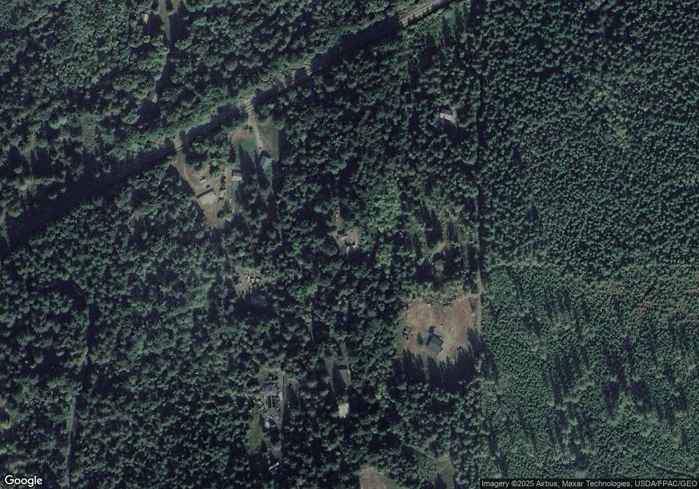
Map
Nearby Homes
- 203 1 Fireside Lodge
- 7417 Woodshire Rd
- 7326 Mount Baker Hwy
- 171 4 Christmas Tree Cir
- 47 Wilderness Way
- 40 2 Wilderness Way
- 178 4 Christmas Tree Cir
- 59 4 Christmas Tree Cir
- 165 4 Christmas Tree Cir
- 67 4 Christmas Tree Cir
- 84 Wilderness Way
- 71 2 Wilderness Way
- 104 Pioneer Cir
- 90 4 Christmas Tree Cir
- 48 4 Branch Cir
- 106 2 Pioneer Cir
- 61 4 Christmas Tree Cir
- 35 Branch Cir
- 19 7 Big Tree Dr
- 62 2 Wilderness Way
- 7281 Mt Baker Hwy
- 7229 Mt Baker Hwy
- 7299 Mt Baker Hwy
- 7217 Mt Baker Hwy
- 7277 Mt Baker Hwy
- 7277 Mount Baker Hwy
- 7661 Shady Ridge Rd
- 7203 Mount Baker Hwy
- 7770 Ambridge Rd
- 196 Big River Blvd
- 7800 Ambridge Rd
- 188 Fireside Lodge Cir
- 0 XXXX Mount Baker Hwy
- 9492 Mount Baker Hwy
- 56 Big River Blvd
- 164 Fireside Lodge Cir
- 164 Fireside Lodge Cir Unit 164
- 7626 Shady Ridge Rd
- 204 Fireside Lodge Cir
- 179 Fireside Lodge Cir