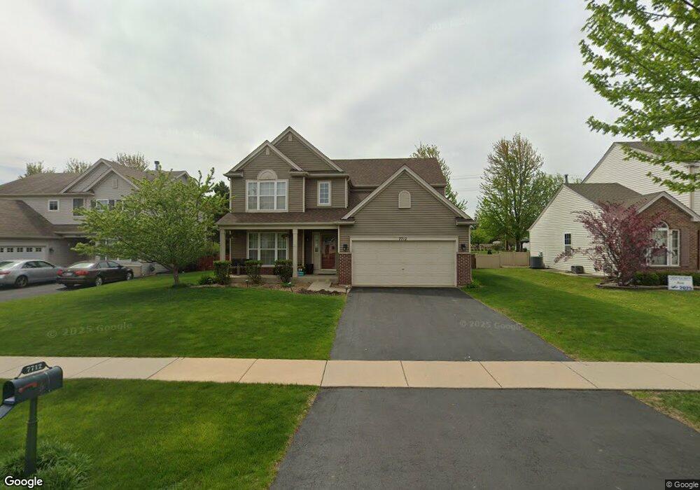
7712 Red Maple Dr Plainfield, IL 60586
North Minooka NeighborhoodEstimated Value: $390,854 - $425,000
Studio
1
Bath
2,292
Sq Ft
$180/Sq Ft
Est. Value
About This Home
This home is located at 7712 Red Maple Dr, Plainfield, IL 60586 and is currently estimated at $411,618, approximately $179 per square foot. 7712 Red Maple Dr is a home located in Kendall County with nearby schools including Charles Reed Elementary School, Aux Sable Middle School, and Plainfield South High School.
Ownership History
Date
Name
Owned For
Owner Type
Purchase Details
Closed on
Oct 12, 2006
Sold by
Neumann Homes Inc
Bought by
Cheop Joseph W and Cheop Kelly J
Current Estimated Value
Home Financials for this Owner
Home Financials are based on the most recent Mortgage that was taken out on this home.
Original Mortgage
$211,960
Outstanding Balance
$126,760
Interest Rate
6.5%
Mortgage Type
Purchase Money Mortgage
Estimated Equity
$284,858
Create a Home Valuation Report for This Property
The Home Valuation Report is an in-depth analysis detailing your home's value as well as a comparison with similar homes in the area
Home Values in the Area
Average Home Value in this Area
Purchase History
| Date | Buyer | Sale Price | Title Company |
|---|---|---|---|
| Cheop Joseph W | $265,000 | None Available |
Source: Public Records
Mortgage History
| Date | Status | Borrower | Loan Amount |
|---|---|---|---|
| Open | Cheop Joseph W | $211,960 |
Source: Public Records
Tax History
| Year | Tax Paid | Tax Assessment Tax Assessment Total Assessment is a certain percentage of the fair market value that is determined by local assessors to be the total taxable value of land and additions on the property. | Land | Improvement |
|---|---|---|---|---|
| 2024 | $8,443 | $122,759 | $15,449 | $107,310 |
| 2023 | $7,346 | $111,452 | $13,434 | $98,018 |
| 2022 | $7,237 | $96,883 | $13,133 | $83,750 |
| 2021 | $6,528 | $86,207 | $13,111 | $73,096 |
| 2020 | $6,421 | $83,415 | $13,027 | $70,388 |
| 2019 | $6,294 | $80,604 | $13,027 | $67,577 |
| 2018 | $5,870 | $73,694 | $13,027 | $60,667 |
| 2017 | $5,852 | $70,927 | $13,027 | $57,900 |
| 2016 | $2,791 | $66,465 | $12,866 | $53,599 |
| 2015 | $2,696 | $61,528 | $12,210 | $49,318 |
| 2014 | -- | $59,531 | $12,210 | $47,321 |
| 2013 | -- | $59,531 | $12,210 | $47,321 |
Source: Public Records
Map
Nearby Homes
- 7654 Pin Oak Ct
- 7605 Sassafras Ln
- 1712 Scarlett Oak Ct
- 7605 Blueblossom Ln
- 7603 Blueblossom Ln
- 7608 Blueblossom Ln
- 7610 Blueblossom Ln
- 7601 Blueblossom Ln
- 7606 Blueblossom Ln
- 7604 Blueblossom Ln
- 7513 Blueblossom Ln
- 7602 Blueblossom Ln
- 7515 Blueblossom Ln
- 7511 Blueblossom Ln
- 7506 Currant Dr
- 7514 Blueblossom Ln
- 7503 Currant Dr
- 7509 Blueblossom Ln
- 7507 Blueblossom Ln
- 7502 Currant Dr
- 7714 Red Maple Dr
- 7710 Red Maple Dr
- 7708 Red Maple Dr
- 7716 Red Maple Dr
- 7709 Red Maple Dr
- 7706 Red Maple Dr
- 7711 Red Maple Dr
- 7718 Red Maple Dr
- 7707 Red Maple Dr
- 7713 Red Maple Dr
- 7704 Sugar Maple Dr
- 1603 Red Maple Dr Unit 2
- L387 Barberry Way
- 1604 Red Maple Dr
- 1527 Bellflower Ln
- 7712 Sugar Maple Ct
- 7702 Sugar Maple Dr
- 7714 Sugar Maple Ct
- 7710 Sugar Maple Ct
- 1605 Red Maple Dr
Your Personal Tour Guide
Ask me questions while you tour the home.