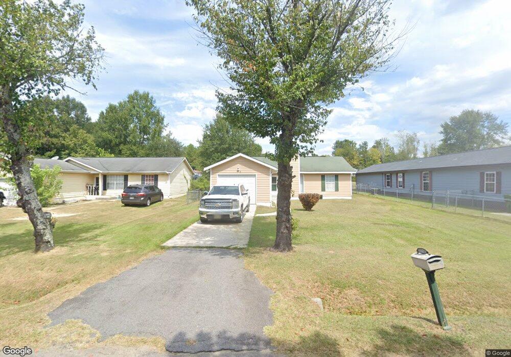
7713 Burdell Dr Columbia, SC 29209
Southeast Columbia NeighborhoodEstimated Value: $193,000 - $225,000
3
Beds
2
Baths
1,544
Sq Ft
$138/Sq Ft
Est. Value
About This Home
This home is located at 7713 Burdell Dr, Columbia, SC 29209 and is currently estimated at $213,262, approximately $138 per square foot. 7713 Burdell Dr is a home located in Richland County with nearby schools including Mill Creek Elementary School, Hopkins Middle School, and Lower Richland High School.
Ownership History
Date
Name
Owned For
Owner Type
Purchase Details
Closed on
Feb 24, 2006
Sold by
Adams Melinda Jane and Adams Ray
Bought by
Norton Michael A
Current Estimated Value
Home Financials for this Owner
Home Financials are based on the most recent Mortgage that was taken out on this home.
Original Mortgage
$68,000
Outstanding Balance
$42,945
Interest Rate
8.24%
Mortgage Type
Fannie Mae Freddie Mac
Estimated Equity
$170,317
Purchase Details
Closed on
Jul 1, 2005
Sold by
Adams Melinda Jane
Bought by
Adams Melinda Jane and Adams Ray
Create a Home Valuation Report for This Property
The Home Valuation Report is an in-depth analysis detailing your home's value as well as a comparison with similar homes in the area
Home Values in the Area
Average Home Value in this Area
Purchase History
| Date | Buyer | Sale Price | Title Company |
|---|---|---|---|
| Norton Michael A | $85,000 | None Available | |
| Adams Melinda Jane | -- | -- |
Source: Public Records
Mortgage History
| Date | Status | Borrower | Loan Amount |
|---|---|---|---|
| Open | Norton Michael A | $68,000 |
Source: Public Records
Tax History Compared to Growth
Tax History
| Year | Tax Paid | Tax Assessment Tax Assessment Total Assessment is a certain percentage of the fair market value that is determined by local assessors to be the total taxable value of land and additions on the property. | Land | Improvement |
|---|---|---|---|---|
| 2024 | $1,071 | $108,700 | $0 | $0 |
| 2023 | $1,071 | $3,780 | $0 | $0 |
| 2022 | $972 | $94,500 | $13,500 | $81,000 |
| 2021 | $964 | $3,780 | $0 | $0 |
| 2020 | $978 | $3,780 | $0 | $0 |
| 2019 | $950 | $3,780 | $0 | $0 |
| 2018 | $841 | $3,290 | $0 | $0 |
| 2017 | $824 | $3,290 | $0 | $0 |
| 2016 | $821 | $3,290 | $0 | $0 |
| 2015 | $801 | $3,290 | $0 | $0 |
| 2014 | $780 | $82,200 | $0 | $0 |
| 2013 | -- | $3,290 | $0 | $0 |
Source: Public Records
Map
Nearby Homes
- 113 Colonial Commons Ln
- 115 Colonial Commons Ln
- 101 Colonial Commons Ln
- 106 Colonial Commons Ln
- 263 Blue Savannah St
- 267 Blue Savannah St
- 1527 Burnside Ave
- 155 Colonial Commons Ln
- 175 Nestle Ct
- 8025 Skylark Dr
- Sequoia Plan at Cameron Ridge - 2-Story
- Fairview Plan at Cameron Ridge - 2-Story
- Hazel Plan at Cameron Ridge - 2-Story
- Aspen Plan at Cameron Ridge - 2-Story
- Cedar Plan at Cameron Ridge - 2-Story
- 349 Eastfair Dr
- 7819 Charles Towne Dr
- 168 Ashewood Commons Dr
- 2006 Orchard Oak Trail
- Aruba Bay Plan at Cameron Ridge - Ranches
- 7709 Burdell Dr
- 7717 Burdell Dr
- 7705 Burdell Dr
- 7721 Burdell Dr
- 7701 Burdell Dr
- 7725 Burdell Dr
- 7732 Burdell Dr
- 7726 Burdell Dr
- 7655 Burdell Dr
- 7729 Burdell Dr
- 7800 Burdell Dr
- 7651 Burdell Dr
- 7801 Burdell Dr
- 7712 Burdell Dr
- 7812 Burdell Dr
- 7647 Burdell Dr
- 7727 Skylark Dr
- 7811 Burdell Dr
- 7733 Skylark Dr
- 7820 Burdell Dr