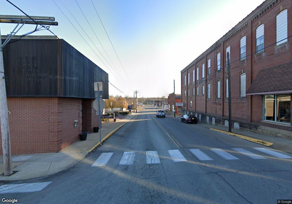
7713 Highway C Fredericktown, MO 63645
Estimated Value: $57,667 - $305,000
Studio
--
Bath
1,040
Sq Ft
$145/Sq Ft
Est. Value
About This Home
This home is located at 7713 Highway C, Fredericktown, MO 63645 and is currently estimated at $150,917, approximately $145 per square foot. 7713 Highway C is a home with nearby schools including Fredericktown Elementary School, Fredericktown Intermediate School, and Kelly A. Burlison Middle School.
Ownership History
Date
Name
Owned For
Owner Type
Purchase Details
Closed on
Dec 2, 2011
Sold by
Basler Donald P and Basler Helen S
Bought by
Basler Cody
Current Estimated Value
Home Financials for this Owner
Home Financials are based on the most recent Mortgage that was taken out on this home.
Original Mortgage
$32,000
Outstanding Balance
$21,787
Interest Rate
4.14%
Mortgage Type
Future Advance Clause Open End Mortgage
Estimated Equity
$129,130
Purchase Details
Closed on
Jun 10, 2011
Sold by
Beery Debra D and Beery Ronald
Bought by
Bellew Alan B
Create a Home Valuation Report for This Property
The Home Valuation Report is an in-depth analysis detailing your home's value as well as a comparison with similar homes in the area
Purchase History
| Date | Buyer | Sale Price | Title Company |
|---|---|---|---|
| Basler Cody | -- | None Available | |
| Bellew Alan B | -- | None Available |
Source: Public Records
Mortgage History
| Date | Status | Borrower | Loan Amount |
|---|---|---|---|
| Open | Basler Cody | $32,000 |
Source: Public Records
Tax History Compared to Growth
Tax History
| Year | Tax Paid | Tax Assessment Tax Assessment Total Assessment is a certain percentage of the fair market value that is determined by local assessors to be the total taxable value of land and additions on the property. | Land | Improvement |
|---|---|---|---|---|
| 2025 | $83 | $1,450 | $0 | $0 |
| 2024 | $83 | $1,450 | $0 | $0 |
| 2023 | $317 | $5,540 | $0 | $0 |
| 2022 | $299 | $5,180 | $0 | $0 |
| 2021 | $283 | $5,180 | $0 | $0 |
| 2020 | $296 | $5,080 | $0 | $0 |
| 2019 | $293 | $5,080 | $0 | $0 |
| 2018 | $294 | $5,080 | $0 | $0 |
| 2017 | $286 | $5,080 | $0 | $0 |
| 2016 | $280 | $5,080 | $0 | $0 |
| 2015 | -- | $5,080 | $0 | $0 |
| 2014 | -- | $5,080 | $0 | $0 |
| 2013 | -- | $5,080 | $0 | $0 |
| 2012 | -- | $5,080 | $0 | $0 |
Source: Public Records
Map
Nearby Homes
- Off Madison 416
- 1455 Madison 441
- 0 Madison 441
- 1220 Madison 450
- 132 Madison Cr 411
- 300 Madison Cr 410
- 11834 Highway 67
- 4944 Highway C
- 9945 Highway 67
- 0 Off Madison 410 Unit MIS25065973
- 0 Off Madison 410 Unit 24985298
- 0 Madsion Cr 410 (116) Unit 116 MAR24060827
- 116 County Road 410
- 37+/- Ac Madison 410
- 68 Madison 410
- 10102 Highway 67
- 000 Hwy Jj
- 000 Mo-Jj
- 0 County Road 135 Unit MIS24049207
- 0 Off Hwy F Unit 25232969
