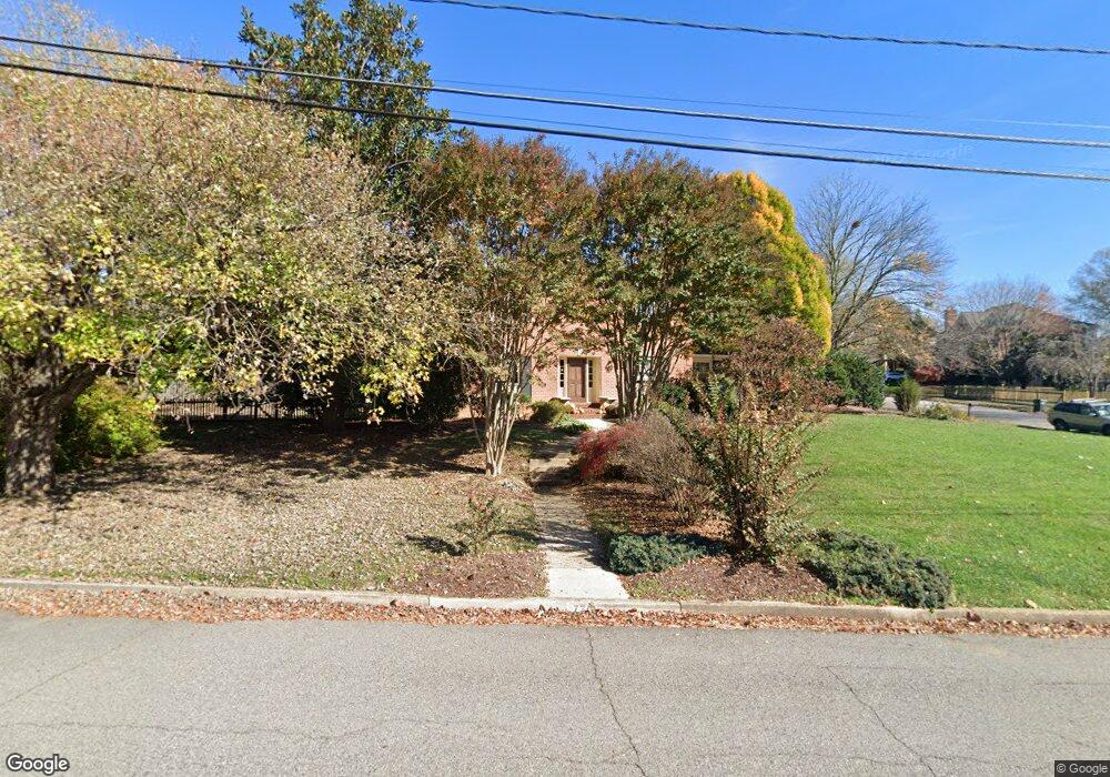
7713 Kirkside Dr Alexandria, VA 22306
Estimated Value: $929,000 - $1,014,119
4
Beds
4
Baths
2,424
Sq Ft
$403/Sq Ft
Est. Value
About This Home
This home is located at 7713 Kirkside Dr, Alexandria, VA 22306 and is currently estimated at $977,030, approximately $403 per square foot. 7713 Kirkside Dr is a home located in Fairfax County with nearby schools including Hollin Meadows Elementary School, Sandburg Middle, and West Potomac High School.
Ownership History
Date
Name
Owned For
Owner Type
Purchase Details
Closed on
Aug 17, 2021
Sold by
Arnold Patrick W and Arnold Robin A
Bought by
Arnold Robin Stevens
Current Estimated Value
Purchase Details
Closed on
Apr 25, 2001
Sold by
Whitley Arthur L
Bought by
Arnold Patrick W
Home Financials for this Owner
Home Financials are based on the most recent Mortgage that was taken out on this home.
Original Mortgage
$275,000
Outstanding Balance
$100,092
Interest Rate
6.85%
Estimated Equity
$876,938
Create a Home Valuation Report for This Property
The Home Valuation Report is an in-depth analysis detailing your home's value as well as a comparison with similar homes in the area
Home Values in the Area
Average Home Value in this Area
Purchase History
| Date | Buyer | Sale Price | Title Company |
|---|---|---|---|
| Arnold Robin Stevens | -- | Chicago Title | |
| Arnold Patrick W | $410,000 | -- |
Source: Public Records
Mortgage History
| Date | Status | Borrower | Loan Amount |
|---|---|---|---|
| Open | Arnold Patrick W | $275,000 |
Source: Public Records
Tax History Compared to Growth
Tax History
| Year | Tax Paid | Tax Assessment Tax Assessment Total Assessment is a certain percentage of the fair market value that is determined by local assessors to be the total taxable value of land and additions on the property. | Land | Improvement |
|---|---|---|---|---|
| 2025 | $11,087 | $952,300 | $398,000 | $554,300 |
| 2024 | $11,087 | $909,100 | $382,000 | $527,100 |
| 2023 | $10,669 | $901,980 | $382,000 | $519,980 |
| 2022 | $9,466 | $786,260 | $338,000 | $448,260 |
| 2021 | $8,476 | $688,210 | $295,000 | $393,210 |
| 2020 | $8,453 | $683,010 | $295,000 | $388,010 |
| 2019 | $8,468 | $683,010 | $295,000 | $388,010 |
| 2018 | $7,606 | $661,400 | $281,000 | $380,400 |
| 2017 | $8,186 | $675,340 | $281,000 | $394,340 |
| 2016 | $8,169 | $675,340 | $281,000 | $394,340 |
| 2015 | $7,882 | $675,340 | $281,000 | $394,340 |
| 2014 | $7,511 | $643,560 | $268,000 | $375,560 |
Source: Public Records
Map
Nearby Homes
- 7748 Frances Dr
- 141 Shannon Ct
- 2501 Toron Ct
- 2728 Boswell Ave
- 7409 Range Rd
- 7814 Belvedere Dr
- 1616 Sherwood Hall Ln
- 7803 Fordson Rd
- 2808 Boswell Ave
- 2604 Windbreak Dr
- 2441 Windbreak Dr
- 7804 Gum Springs Village Dr
- 7533 Hollindale Ct
- 2535 James David Way
- 1911 Marthas Rd
- 2817 Derek Rd
- 7404 Rippon Rd
- 7214 Rebecca Dr
- 1600 Lafayette Dr
- 8126 Stacey Rd
- 2214 Traies Ct
- 7701 Kirkside Dr
- 7715 Kirkside Dr
- 7712 Kirkside Dr
- 2303 Wilkinson Place
- 7706 Kirkside Dr
- 2212 Traies Ct
- 2301 Wilkinson Place
- 2211 Traies Ct
- 2215 Traies Ct
- 7717 Kirkside Dr
- 2309 Wilkinson Place
- 2209 Traies Ct
- 2207 Wilkinson Place
- 2216 Traies Ct
- 2214 Lida Ct
- 2217 Traies Ct
- 7719 Kirkside Dr
- 2306 Wilkinson Place
- 2205 Wilkinson Place