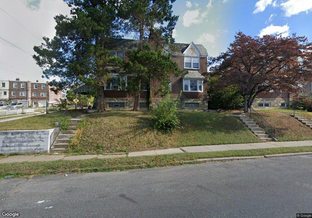
7713 Woolston Ave Philadelphia, PA 19150
West Oak Lane NeighborhoodEstimated Value: $301,000 - $425,672
4
Beds
2
Baths
1,680
Sq Ft
$212/Sq Ft
Est. Value
About This Home
This home is located at 7713 Woolston Ave, Philadelphia, PA 19150 and is currently estimated at $356,224, approximately $212 per square foot. 7713 Woolston Ave is a home located in Philadelphia County with nearby schools including Franklin S Edmonds School, Martin Luther King High School, and St. Raymond Of Penafort Catholic School.
Ownership History
Date
Name
Owned For
Owner Type
Purchase Details
Closed on
Apr 28, 2003
Sold by
Watts Cynthia S and Campbell Marilyn B
Bought by
Paschal Sharon
Current Estimated Value
Home Financials for this Owner
Home Financials are based on the most recent Mortgage that was taken out on this home.
Original Mortgage
$103,500
Outstanding Balance
$44,300
Interest Rate
5.82%
Mortgage Type
Commercial
Estimated Equity
$311,924
Create a Home Valuation Report for This Property
The Home Valuation Report is an in-depth analysis detailing your home's value as well as a comparison with similar homes in the area
Home Values in the Area
Average Home Value in this Area
Purchase History
| Date | Buyer | Sale Price | Title Company |
|---|---|---|---|
| Paschal Sharon | $115,000 | -- |
Source: Public Records
Mortgage History
| Date | Status | Borrower | Loan Amount |
|---|---|---|---|
| Open | Paschal Sharon | $103,500 |
Source: Public Records
Tax History Compared to Growth
Tax History
| Year | Tax Paid | Tax Assessment Tax Assessment Total Assessment is a certain percentage of the fair market value that is determined by local assessors to be the total taxable value of land and additions on the property. | Land | Improvement |
|---|---|---|---|---|
| 2026 | $2,674 | $287,700 | $57,500 | $230,200 |
| 2025 | $2,674 | $287,700 | $57,500 | $230,200 |
| 2024 | $2,674 | $287,700 | $57,500 | $230,200 |
| 2023 | $2,674 | $191,000 | $38,200 | $152,800 |
| 2022 | $2,440 | $191,000 | $38,200 | $152,800 |
| 2021 | $2,440 | $0 | $0 | $0 |
| 2020 | $2,440 | $0 | $0 | $0 |
| 2019 | $2,408 | $0 | $0 | $0 |
| 2018 | $2,328 | $0 | $0 | $0 |
| 2017 | $2,328 | $0 | $0 | $0 |
| 2016 | $2,328 | $0 | $0 | $0 |
| 2015 | $2,228 | $0 | $0 | $0 |
| 2014 | -- | $166,300 | $34,643 | $131,657 |
| 2012 | -- | $18,208 | $3,235 | $14,973 |
Source: Public Records
Map
Nearby Homes
- 7802 Woolston Ave
- 7736 Gilbert St
- 7703 Gilbert St
- 1300 E Sharpnack St
- 1159 E Hortter St
- 1152 E Sharpnack St
- 1312 E Sharpnack St
- 7917 Gilbert St
- 7633 Rugby St
- 7643 Gilbert St
- 7638 Thouron Ave
- 1167 E Dorset St
- 7935 Gilbert St
- 1122 E Phil Ellena St
- 1151 E Dorset St
- 1148 E Slocum St
- 1107 E Sharpnack St
- 7640 Williams Ave
- 7837 Williams Ave
- 7824 Fayette St
- 7715 Woolston Ave
- 7711 Woolston Ave
- 7709 Woolston Ave
- 7707 Woolston Ave
- 7724 Rugby St
- 7801 Woolston Ave
- 7722 Rugby St
- 7726 Rugby St
- 7705 Woolston Ave
- 7718 Rugby St
- 7728 Rugby St
- 7716 Rugby St
- 7803 Woolston Ave
- 7714 Rugby St
- 7703 Woolston Ave Unit 2ND FL
- 7703 Woolston Ave
- 7805 Woolston Ave
- 7712 Rugby St
- 7714 Woolston Ave
- 7712 Woolston Ave